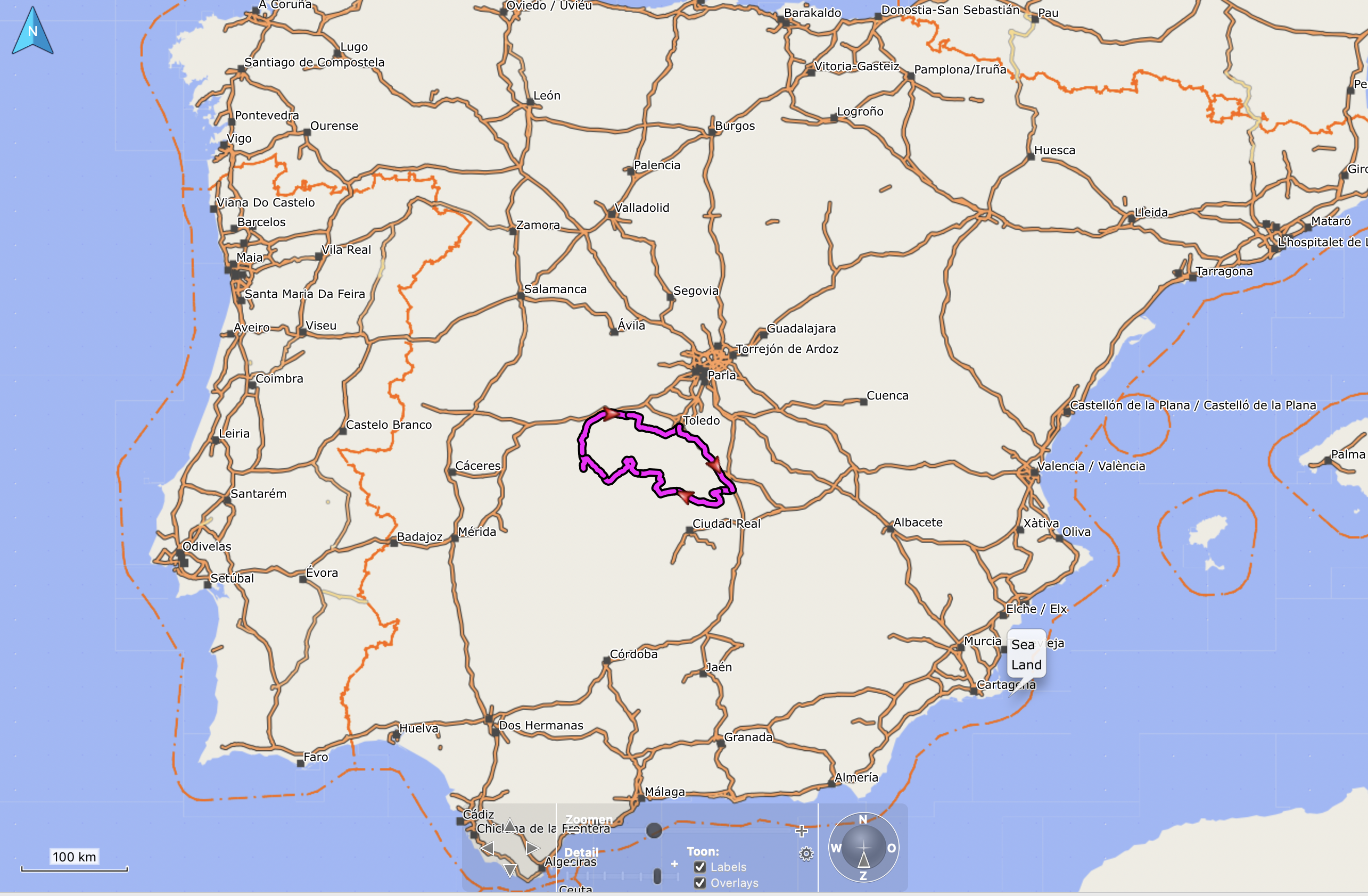
Route: Puerto Lápice – Villarubia de Los Ojos – Los Cortijos – Retuerta Del Bullaque – Sevilleja de la Jara – Talavera de la Reina – Toledo – Consuegra – Puerto Lápice
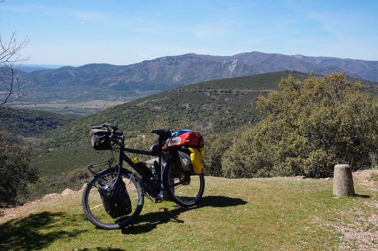
13 April 2026: From Puerto Lápice to somewhere along GR 162
15,18 km – Altitude climbed: 321 mtr
In the east, the Montes de Toledo mountain range rises up from the plains of La Mancha and continues west all the way through the Extremadura to the Portugese border. Highest peak is ‘La Villuerca’, 1.603 meter in Badajoz province, Extremadura Region.
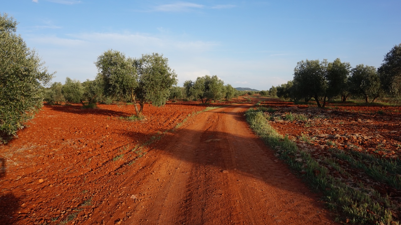
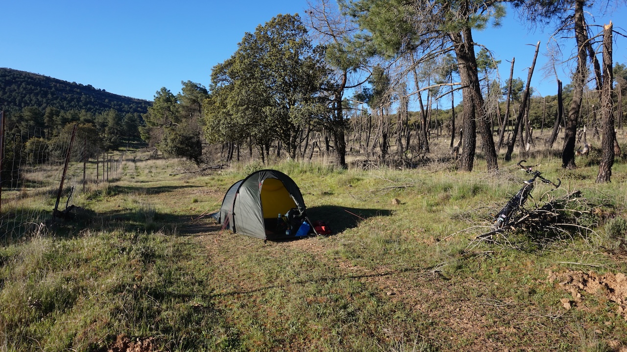
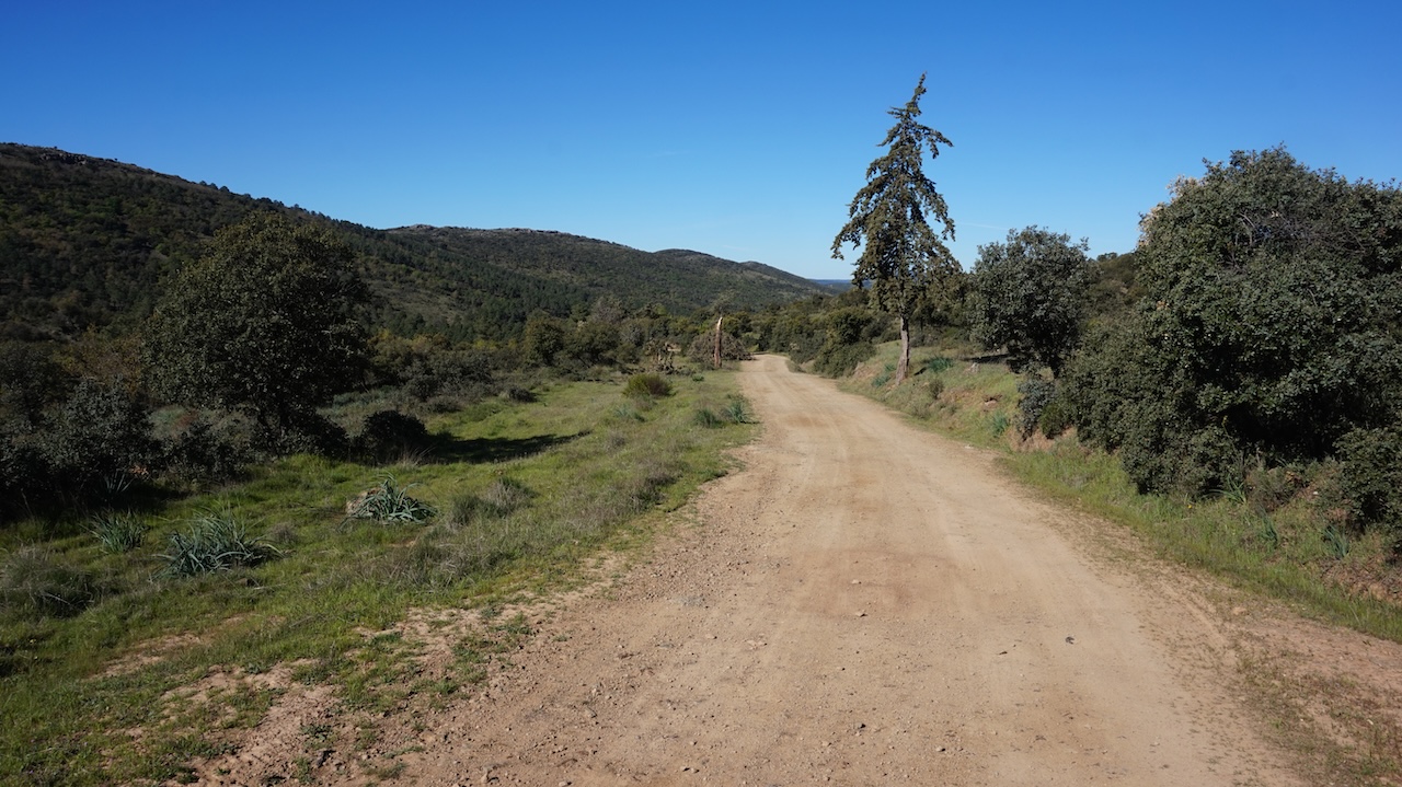
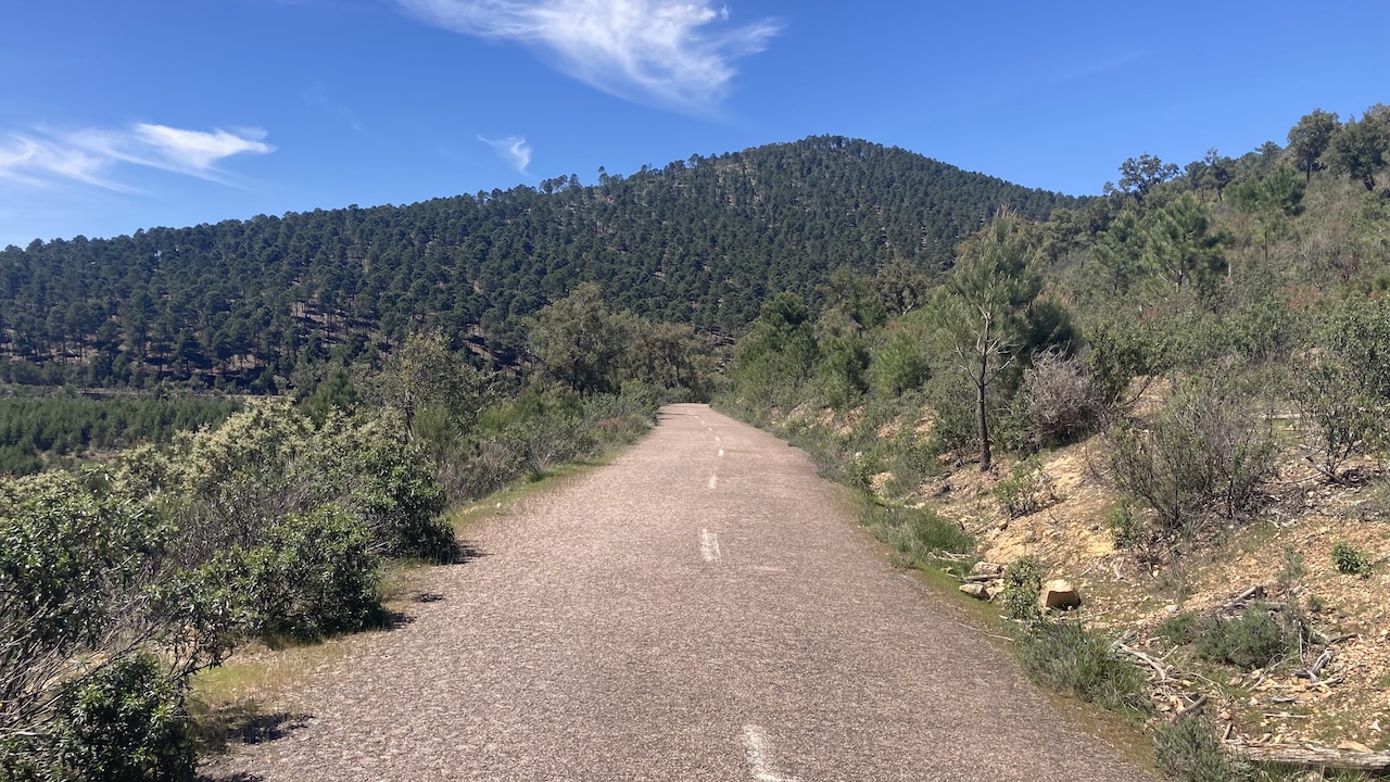
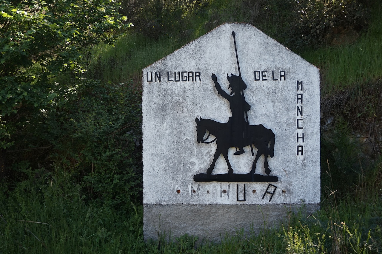
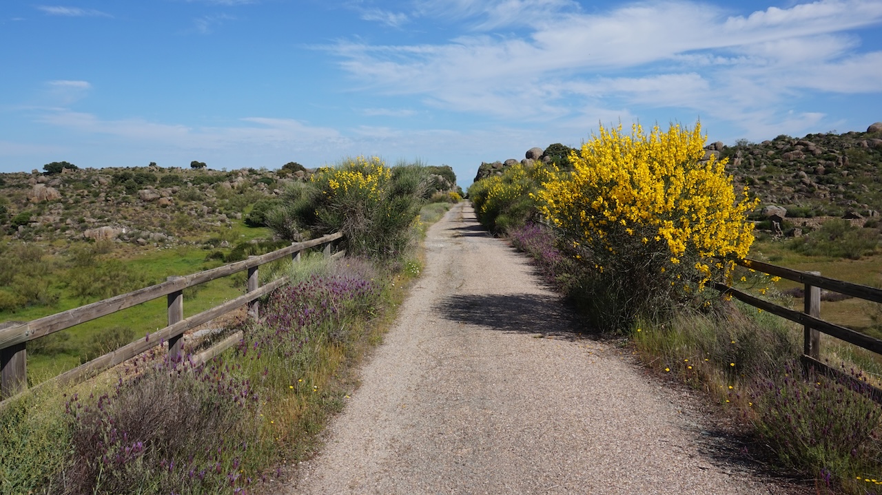
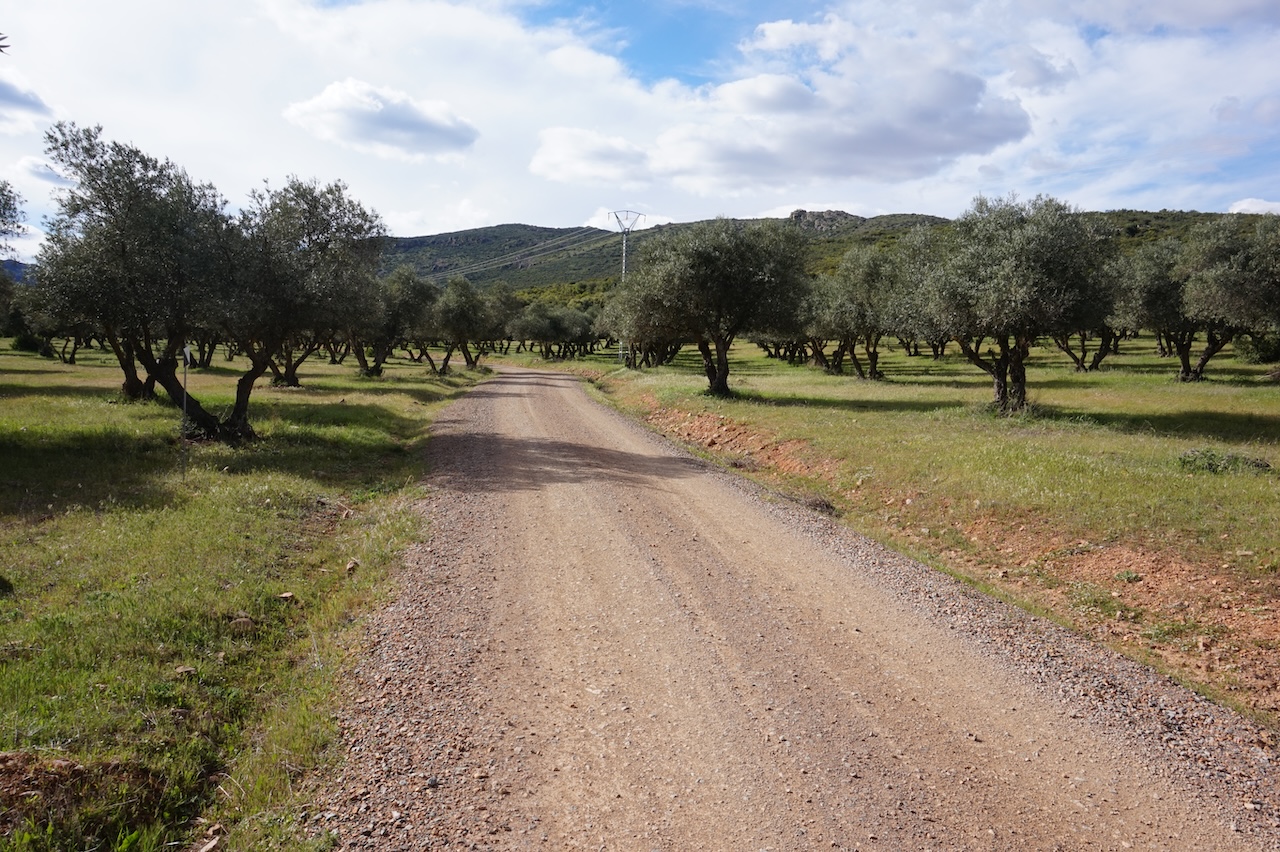 I concentrate this trip on the eastern part in Ciudad Real and Toledo provinces, both in the Castilla-La Mancha Region. I start in the village Puerto Lapice, which everybody knows of course because this is the village where Don Quixote was knighted. Initially, I’m following the GR 162 route. Via a good off-road track, I’m slowly climbing into the mountains. I’m surprised to pass a more or less deserted village on the way in. First day is pretty short. I find a good camping spot close to the highest point of the route.
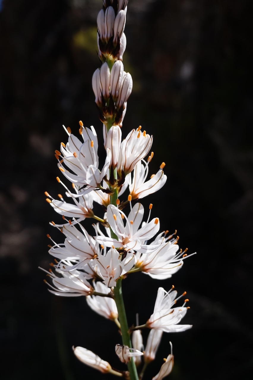
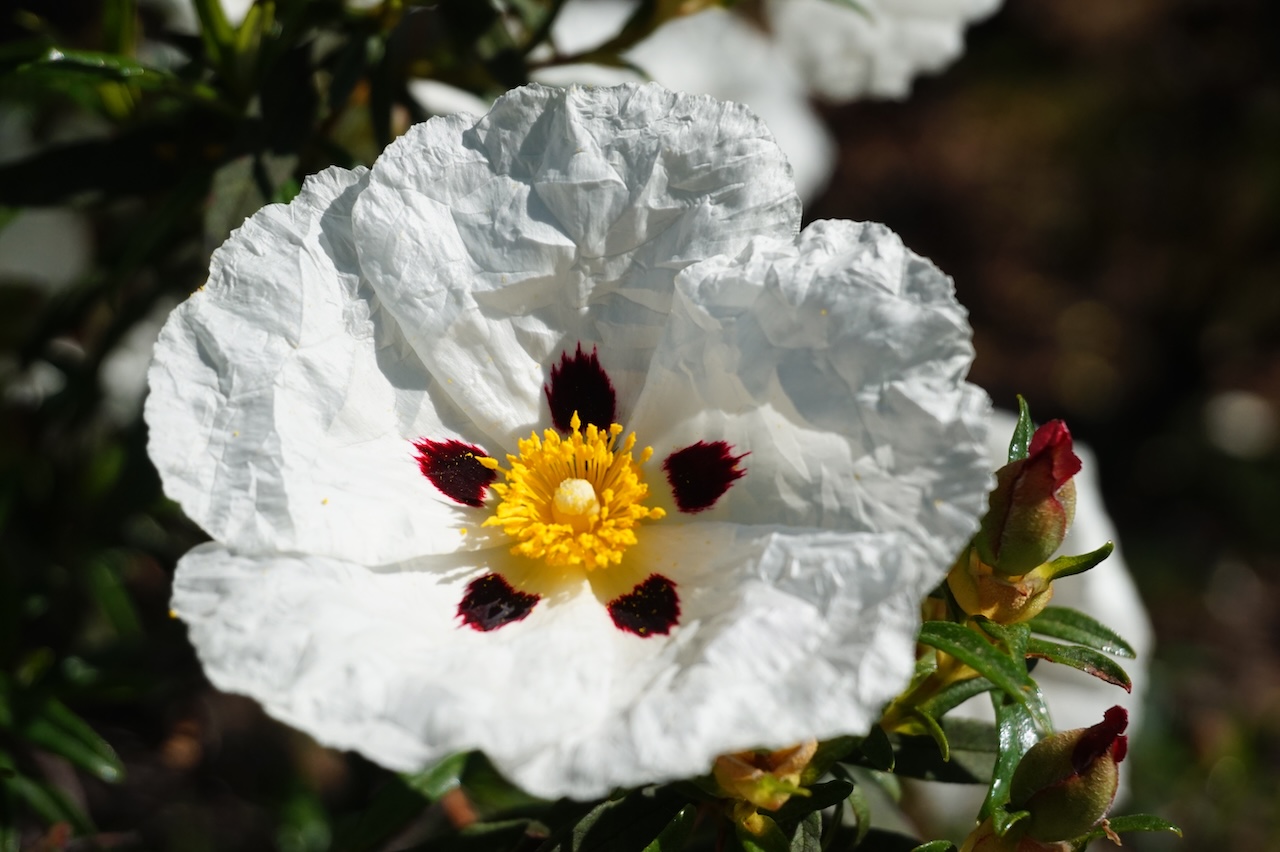
This part of the mountains is home to the Iberian Lynx. Let’s hope I get to see one. Chances are small.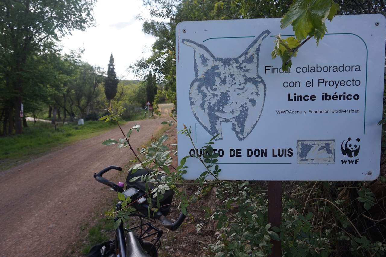
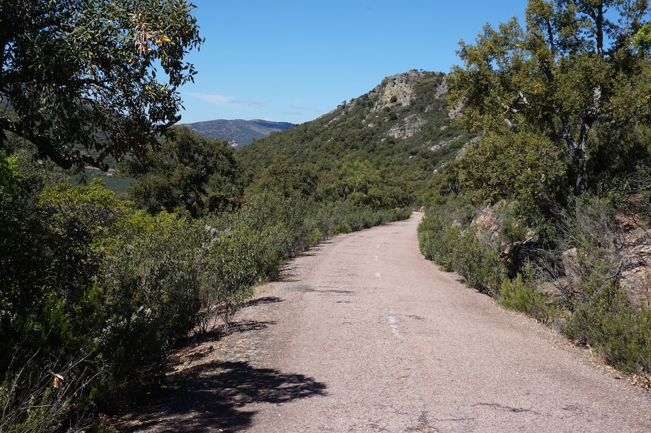
14 April 2026: From somewhere along GR 162 to a few km passed Los Cortijos
71,88 km – Altitude climbed: 580 mtr
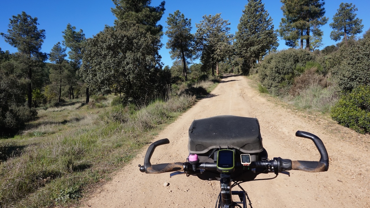
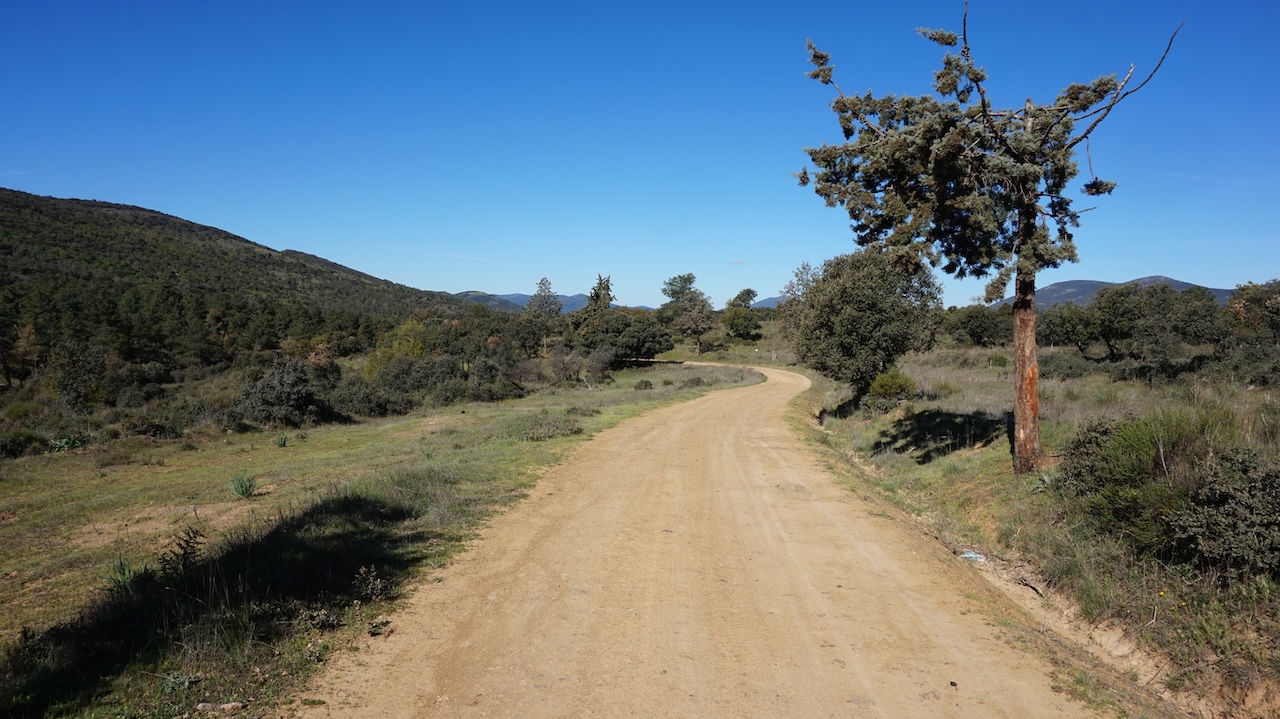
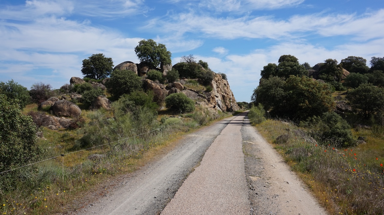
I camped at an altitude of 970 meter. It was only another kilometer towards the highest point of this track at 1.004 meter. A bit after the highest point, the GR 162 takes a right turn, I continue straight. The track descends slowly towards the asphalt road TO-3268 which I follow towards Villarubia de Los Ojos.
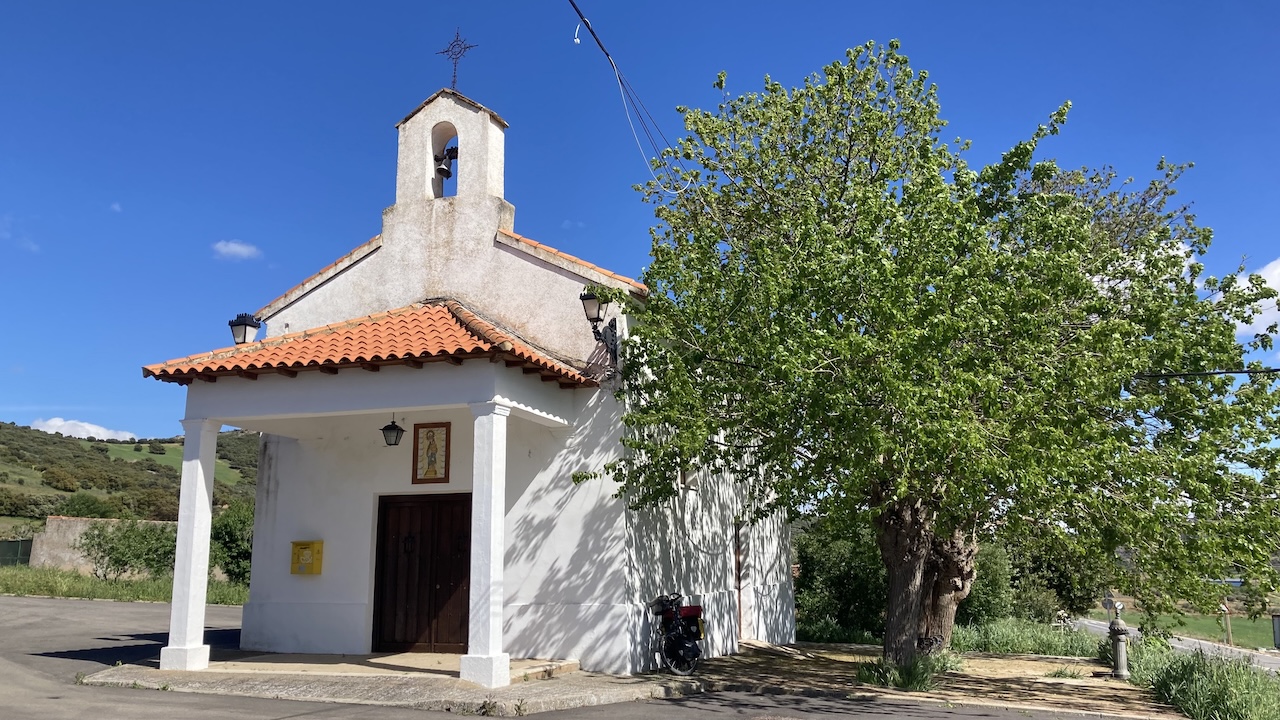
 It’s a bit too early for (Spanish) lunch time, so after a snack near the church, I move on to Fuente el Fresno for a meal.
The wild camp of the day is a bit beyond Los Cortijos.
 15 April 2026: From a few km passed Los Cortijos to a few km passed Retuerta Del Bullaque
77,67 km – Altitude climbed: 543 mtr
As I camped in a grassy field, I had a lot of condensation in the tent this morning.
No worries, a good excuse to take it easy, sleep in, and let the sun do her work drying it all out.
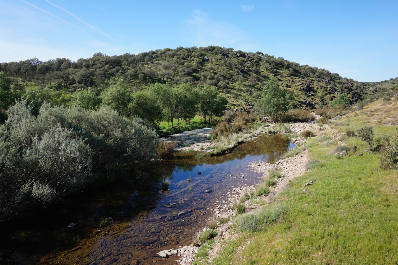
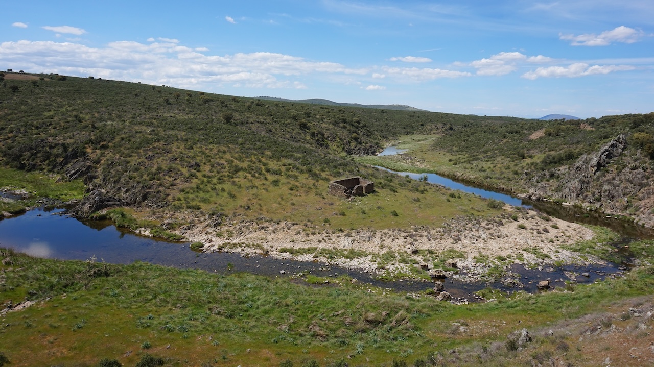
I had to climb a bit more before descending into the valley of the Bullaque River.
Just before the ‘embalse’ (dam), there’s a visitor center of the Parque Nacional de Cabañeros with a trail on the other side of the river. As I found a track of other cyclists on the internet, I thought it might be worth to have a look. It was after all only 5 kilometer in, and another 5 km back out.
The track is very stony, nothing special to see. I tried to return via the main road, but water levels in the river were too high to cross it (no bridges).
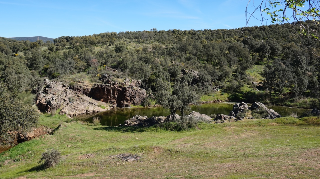
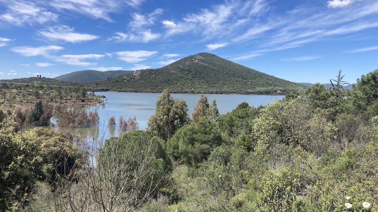
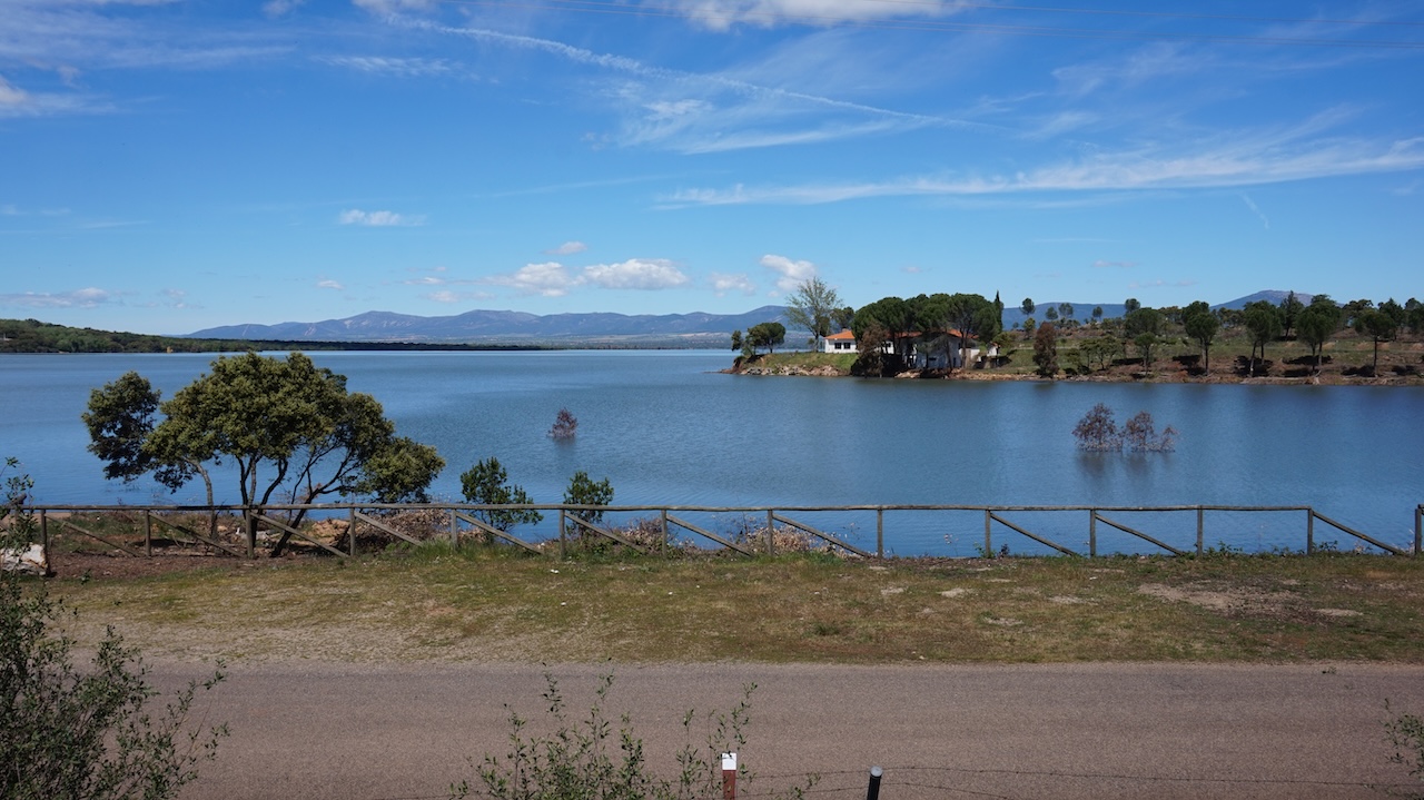
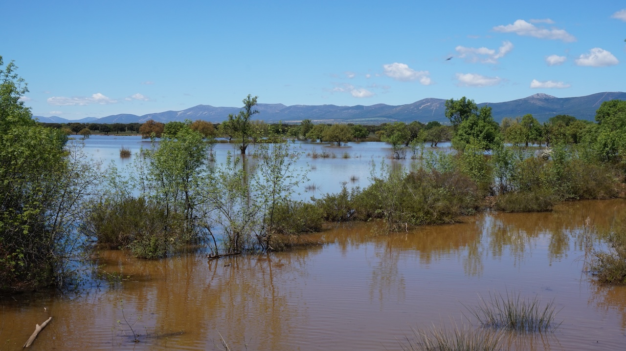
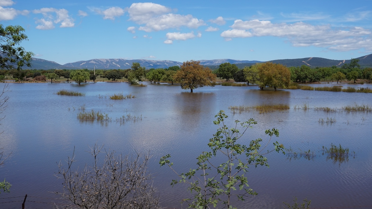
The reservoir ‘Torre de Abraham’ was beautiful though, with the high water levels, especially on the northern side where you’ve got water on both sides of the road. Lot’s of birds, vultures, eagles, storks, ducks, egrets, …
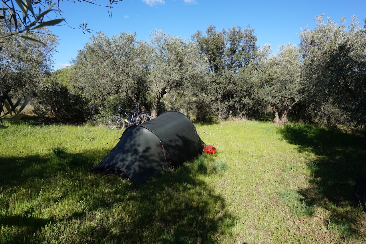
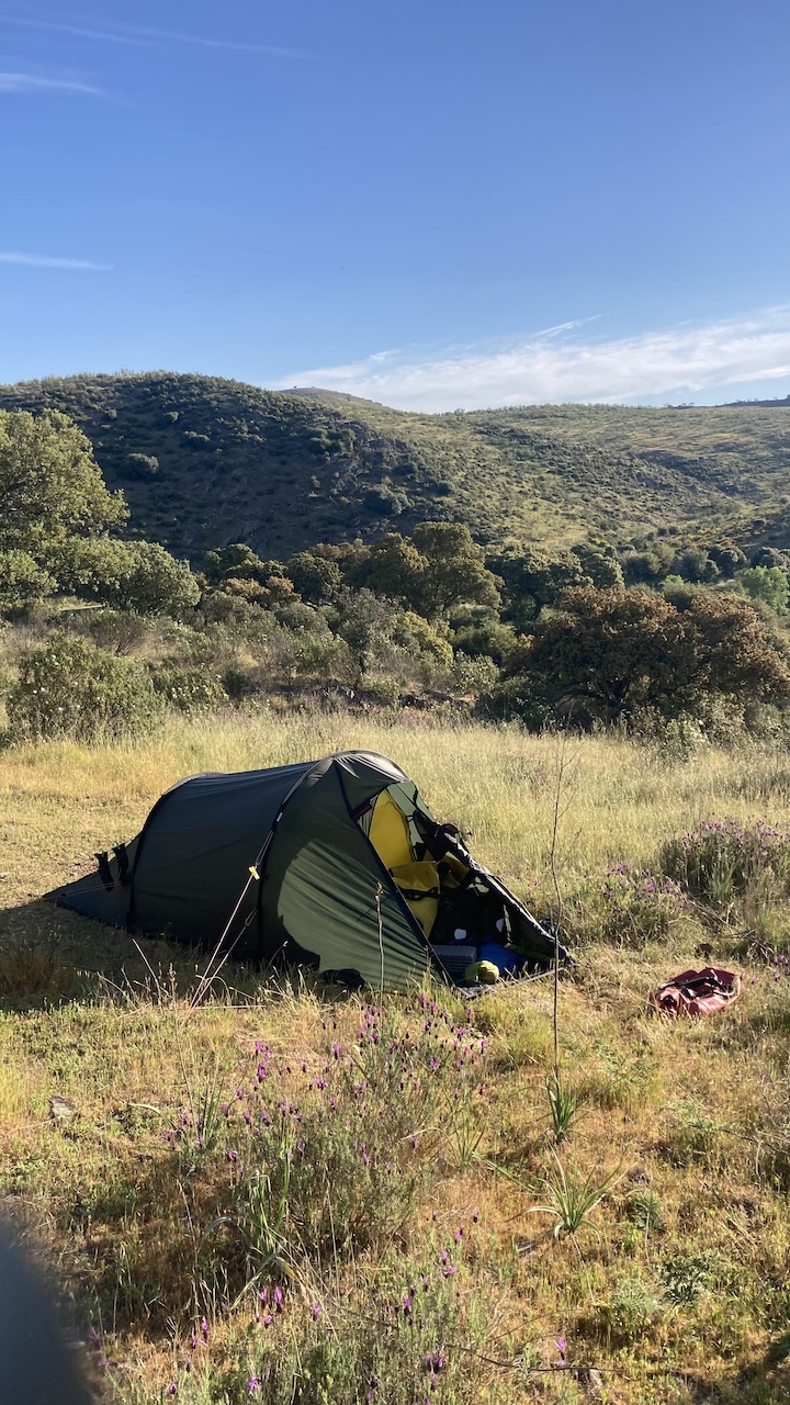
 I camped in between Retuerta Del Bullaque and Navas de Estena.
Had to chase some wild boar away in the evening. They didn’t return overnight, so that’s good.
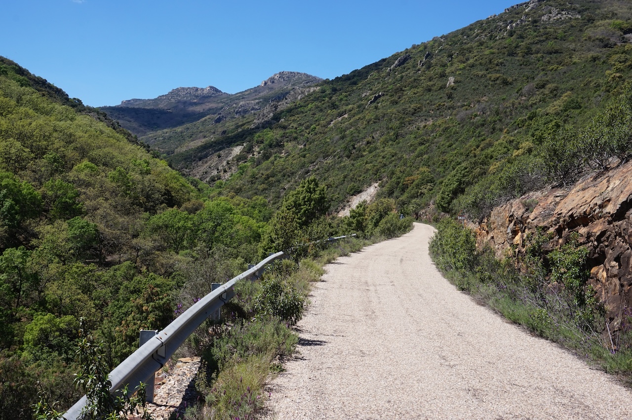
16 April 2026: From to a few km passed Retuerta Del Bullaque to a few km before Anchuras
72,40 km – Altitude climbed: 1.071 mtr
Luckily, I loaded already 10 liter of water on the bike yesterday in Retuerta Del Bullaque, as nothing was open in Navas de Estena. I am climbing high into the Parque Nacional de Cabañeros today and don’t expect to see any other village until tomorrow.
 I climb up to a hight of 1.122 meter, all the while between 5 and 7%, nothing too dramatic.
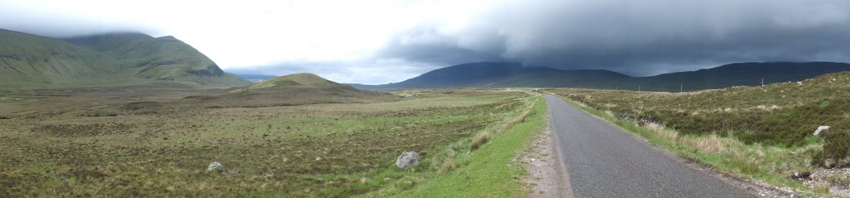
Very nice views towards the valley. Resembles a bit (of what I imagine) the African savannah.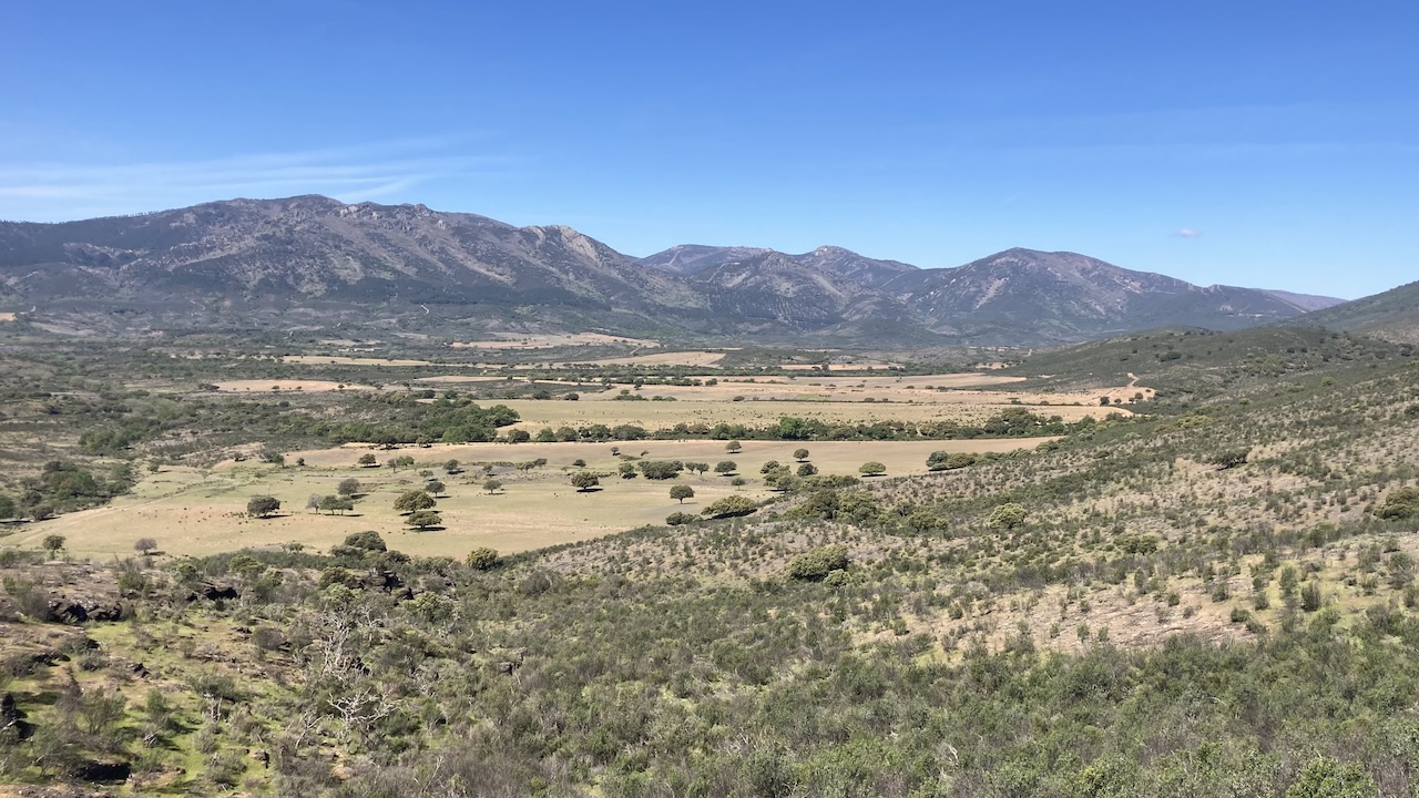
 At the top, I take a left turn direction Portillo Del Cijara.
The asphalt deteriorates and becomes ever bumpier.
The road goes up and down all the time. Excellent scenery, worth the effort.
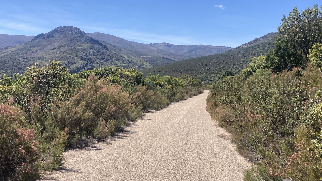
 I’m passing the highest mountain of Toledo province, Pico Rocigalgo (1.448 meter).
Saw a lot of deer today, more wild boar and a lot of lizards.
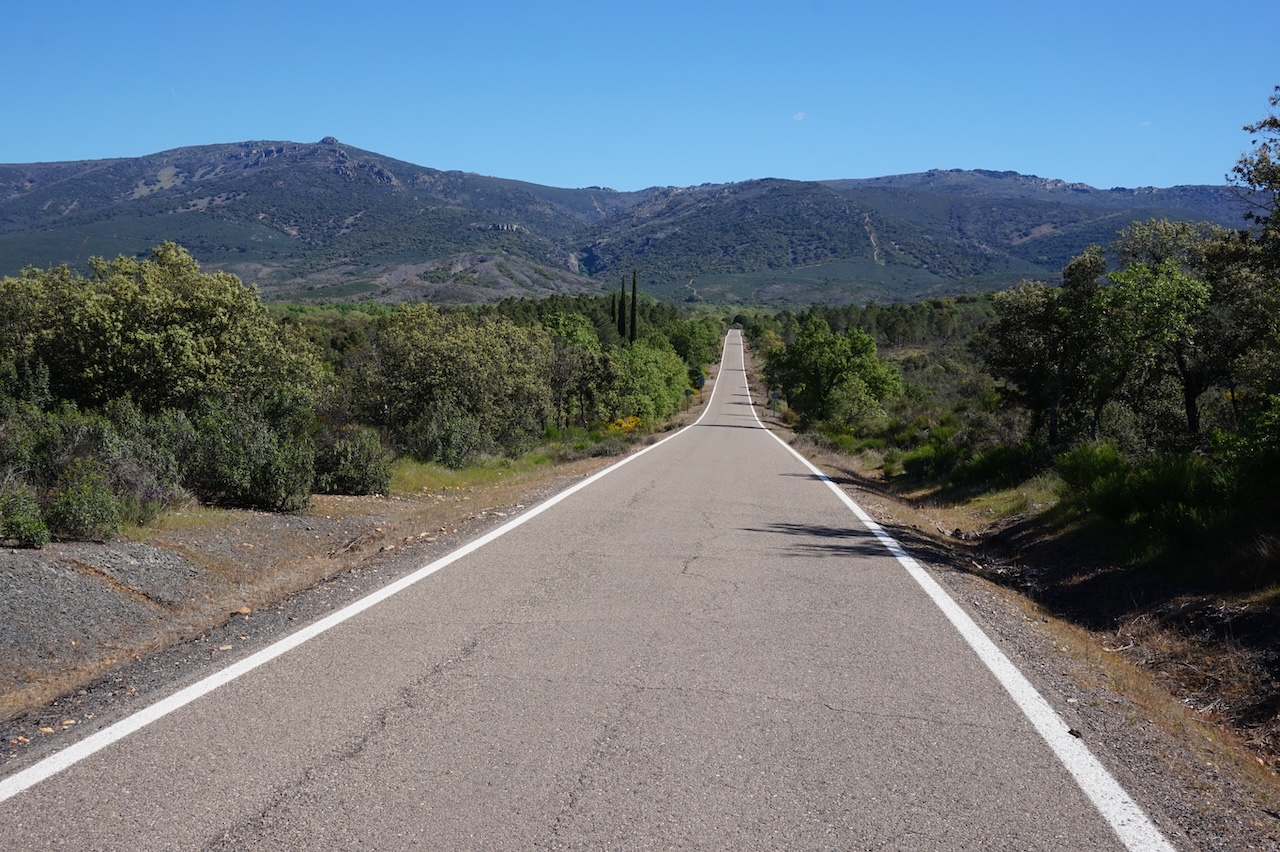
 On the decend, I’m entering the Extremadura Region for a few kilometer, and am finally on a better road again, direction Sevilleja de la Jara.
Nice wild camping spot a bit before Anchuras, but in the morning a lot of barking dogs in the distance.
Always annoying.
17 April 2026: From a few km before Anchuras to along Via Verde de la Jara
67,65 km – Altitude climbed: 687 mtr
The road continues to go up and down towards Sevilleja de la Jara, where I had lunch.
The choice was easy, as only a lomo (pork) sandwich was available.
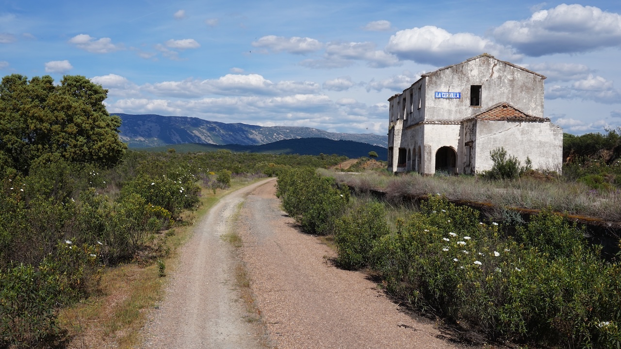
Sevilleja de la Jara is also the terminus of the GR 162, which starts in Puerto Lapice. All the sign posts seem pretty new, but surprisingly and unfortunately, the website to which they refer doesn’t work, nor can’t I find any gpx tracks online.
Filled the water bottles at the restaurant as well and rode towards Gargantilla, where I descended towards the ‘Via Verde (green way) de la Jara’.
I first rode back south again towards the end of the via verde, Estacion de Santa Quiteria, as I wanted to see the whole via verde. This really is the end, as they stopped building the railway here. No more tunnel through the mountain here.
It’s really worth to ride this extra bit, as it turns out to be the nicest part of the greenway.
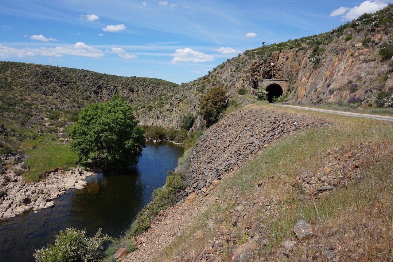
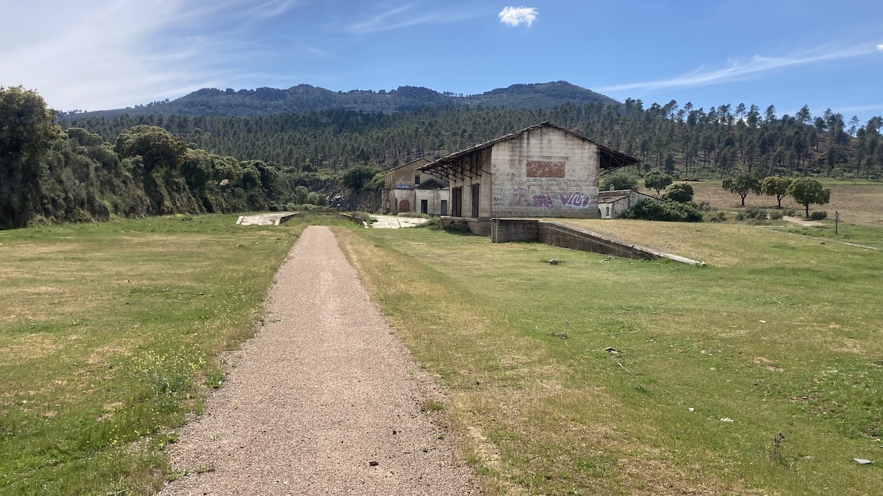
On the official via verde’s website, it’s mentioned it is forbidden to ride it, due to lack of maintenance and a closed tunnel. Don’t be bothered. There are worse via verde’s in Spain, which are ‘open’. Also, none of the tunnels were closed.
Another good camping spot somewhere half way the via verde.
 18 April 2026: From along Via Verde de la Jara to passed Cebolla
80,74 km – Altitude climbed: 257 mtr
It being a Saturday, there were even some other riders on the greenway, especially closer towards Talavera de la Reina.
Some good views to the River Tajo and a spectacular bridge to cross it.
Loads of eagles here.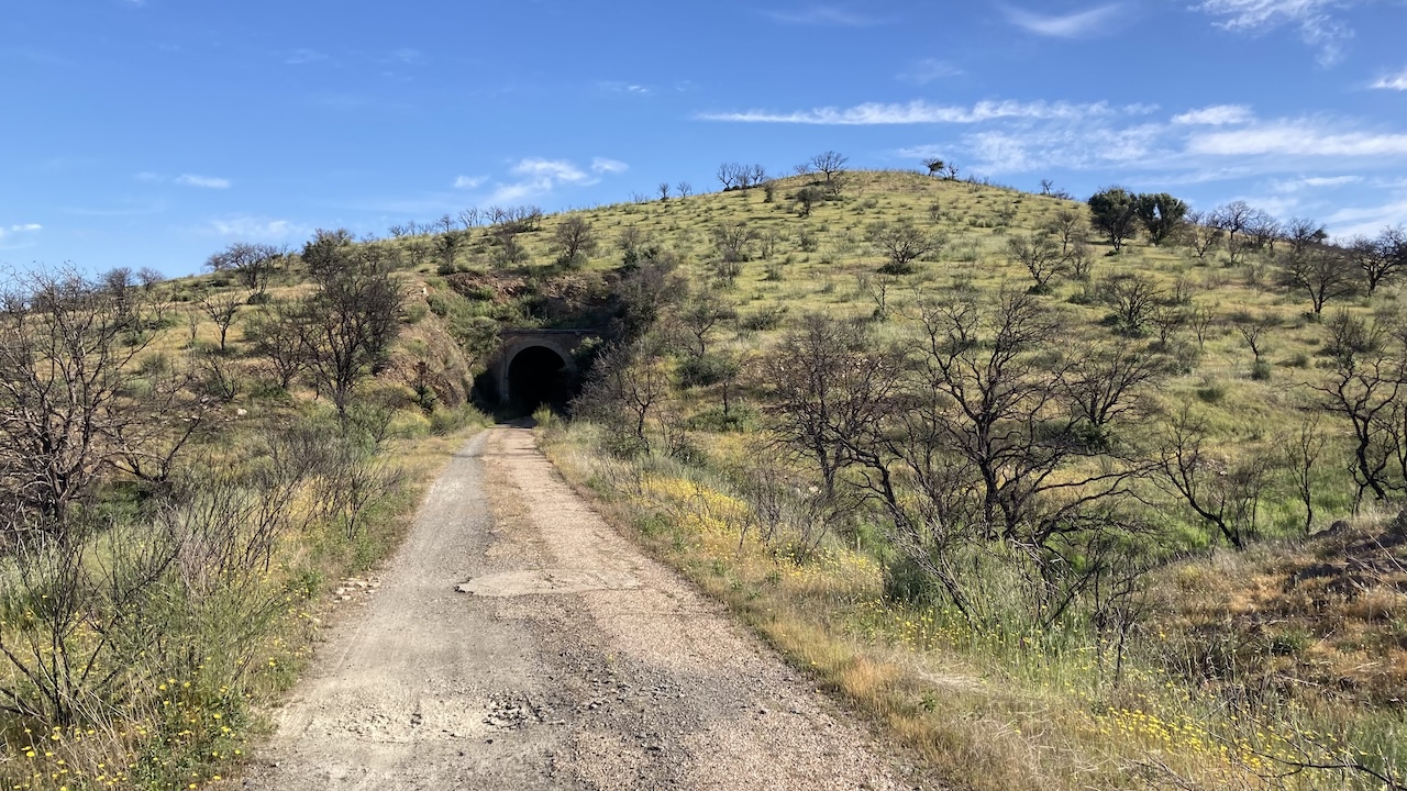
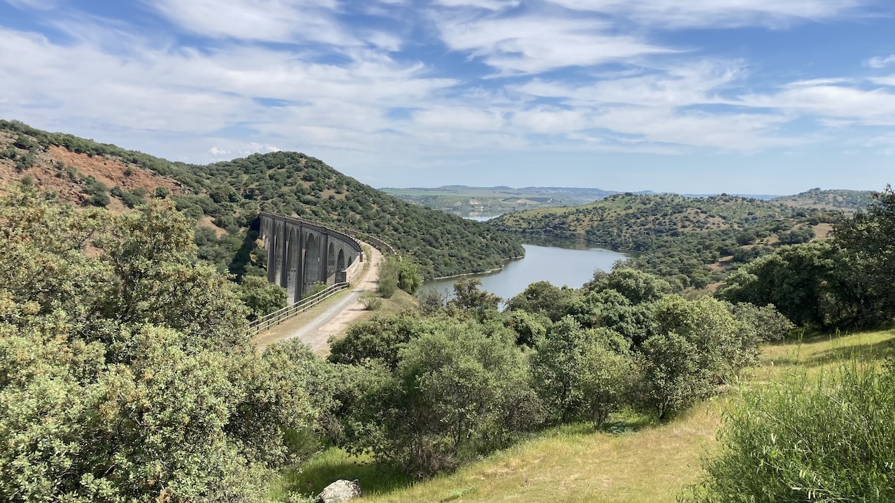
Yesterday and today I have some good views to the snowy mountain tops of the Sierra de Gredos, a much higher range than the Montes de Toledo. Highest peak in Sierra de Gredos: Pico Almanzor, 2.592 meter. Nevertheless, I’m surprised to see they still carry so much snow, second half of April, in this hot part of the Iberian Peninsula.
Towards the northern end, the Via Verde de la Jara coincides with the ‘Camino Natural del Tajo’.
Before Talavera de la Reina, I’m on a bigger road for a while.
Had lunch in a restaurant next to the Mercadona supermarket. Not cheap and with the dirtiest toilets I’ve seen in years.
After Talavera, I follow the ‘Camino Real de Guadelupe’ for a while. Good thing is you’re away from the asphalt, but it gets really sandy at times, like a beach, which makes me crash once, without issues. Some pushing required as well, due to the loose sand.
I camp a bit after Cebolla (village named ‘Onion’ haha).
Lots of mosquitos, so dive in the tent immediately.
19 April 2026: From passed Cebolla to Toledo
66,90 km – Altitude climbed: 651 mtr
I stop for breakfast in the bar in the first village, Erustes. A very friendly service.
Just outside the village I bump into two other cyclists, Jeroen and Annette.
We ride together towards Toledo, mostly along the Canal de Castrejon, which runs just north of the Tajo River. Lot’s of dead fish in the canal.
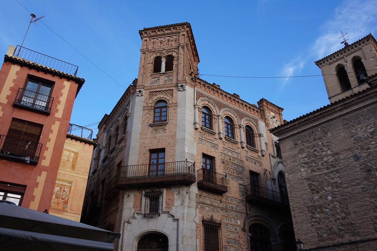
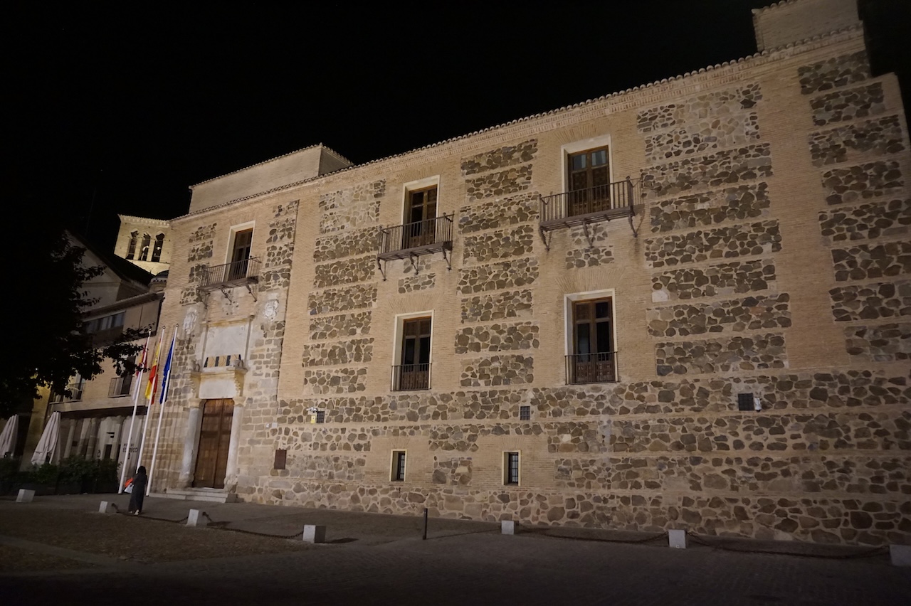
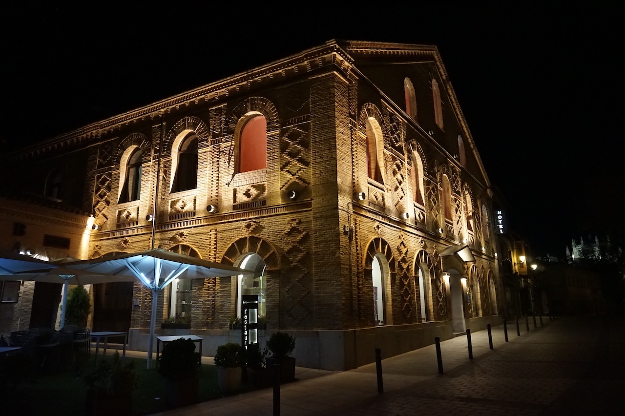
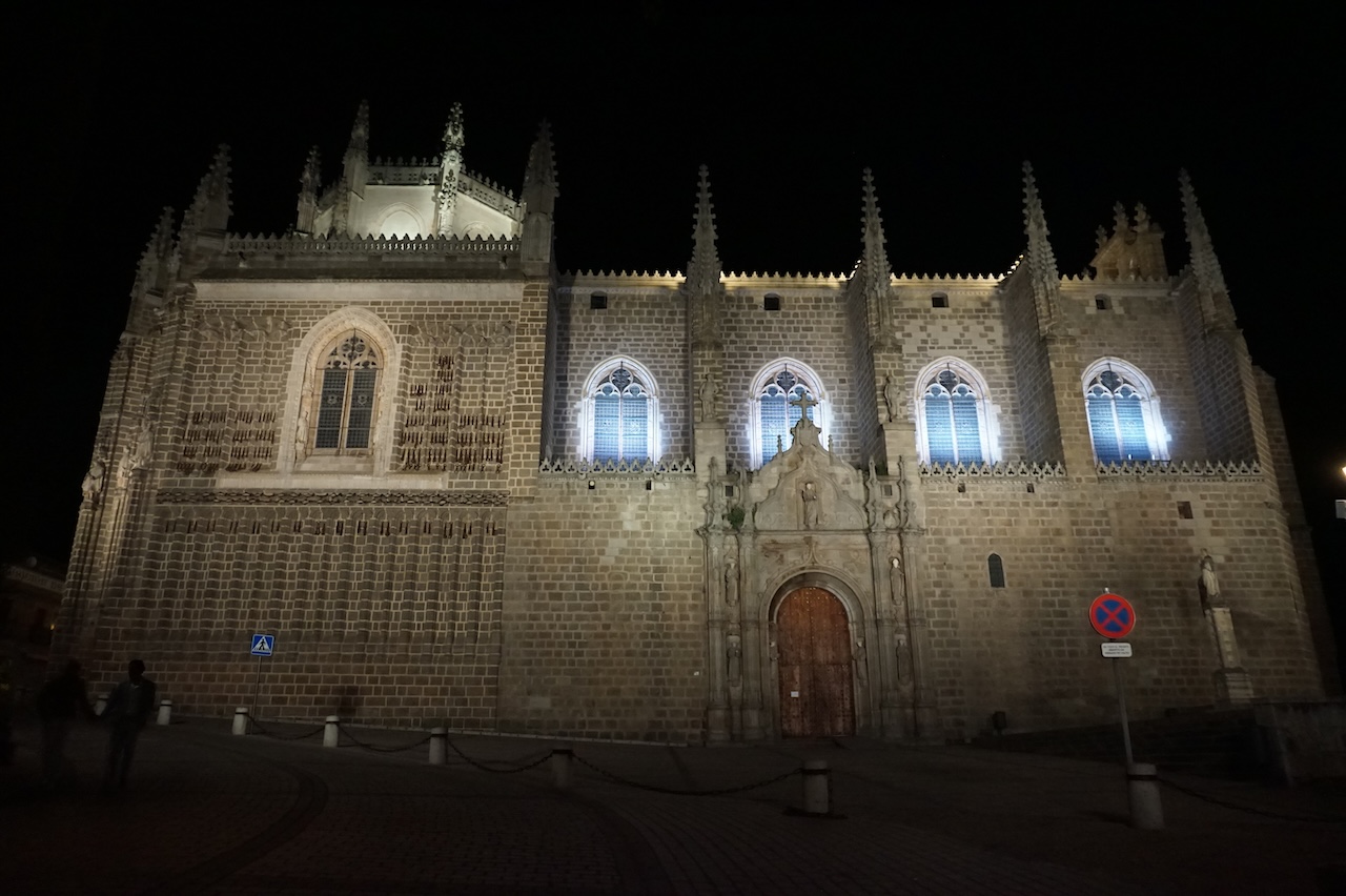
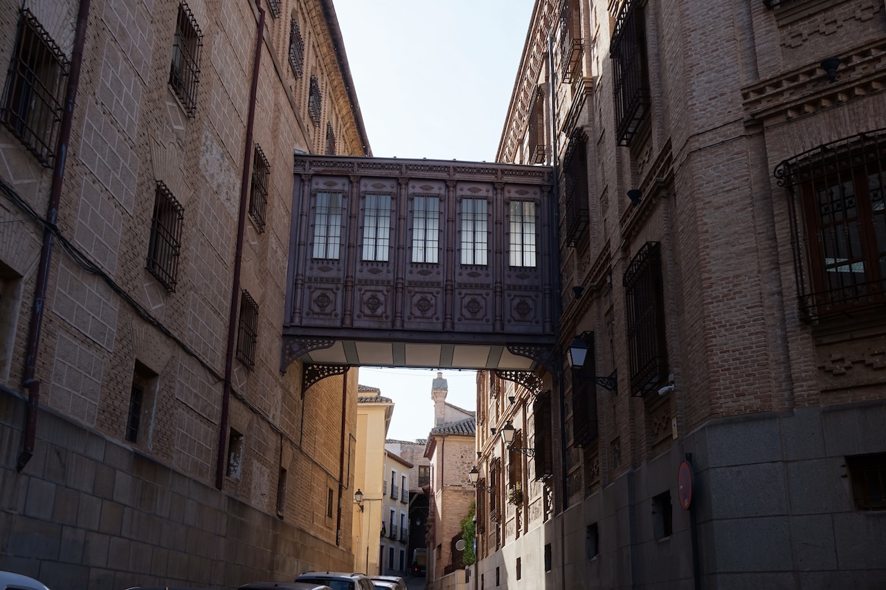
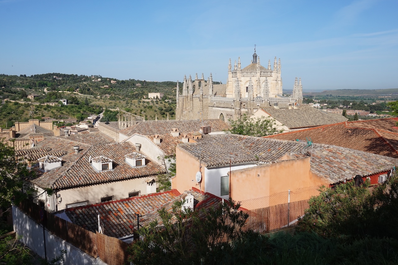
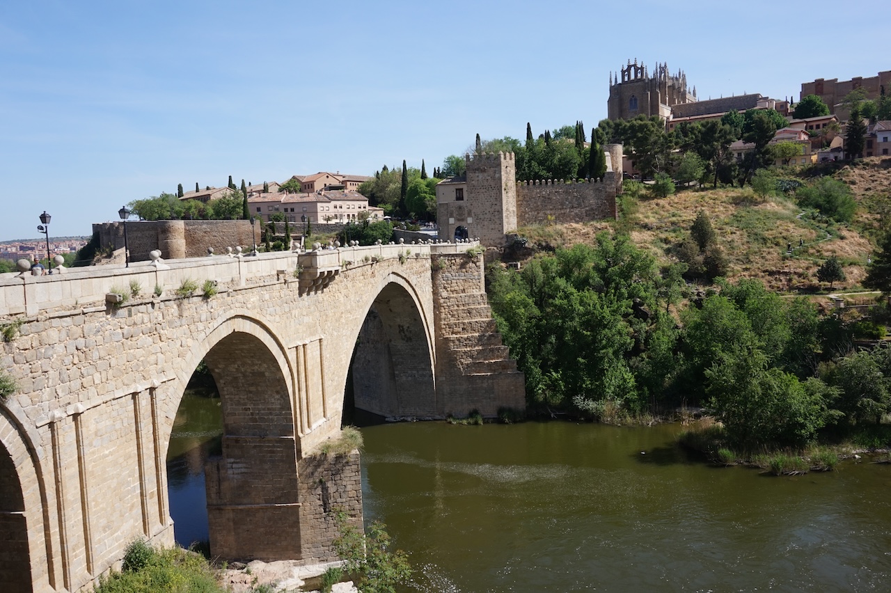
The hotel in Toledo was excellent. Went out for diner (Japanese ramen) and a late evening walk through town. Stayed in the jacuzzi from midnight till 3 am to watch the Flèche Wallon bike race, Male and female.
 20 April 2026: From Toledo to Puerto Lápice
93,98 km – Altitude climbed: 721 mtr
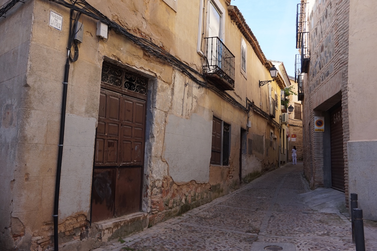
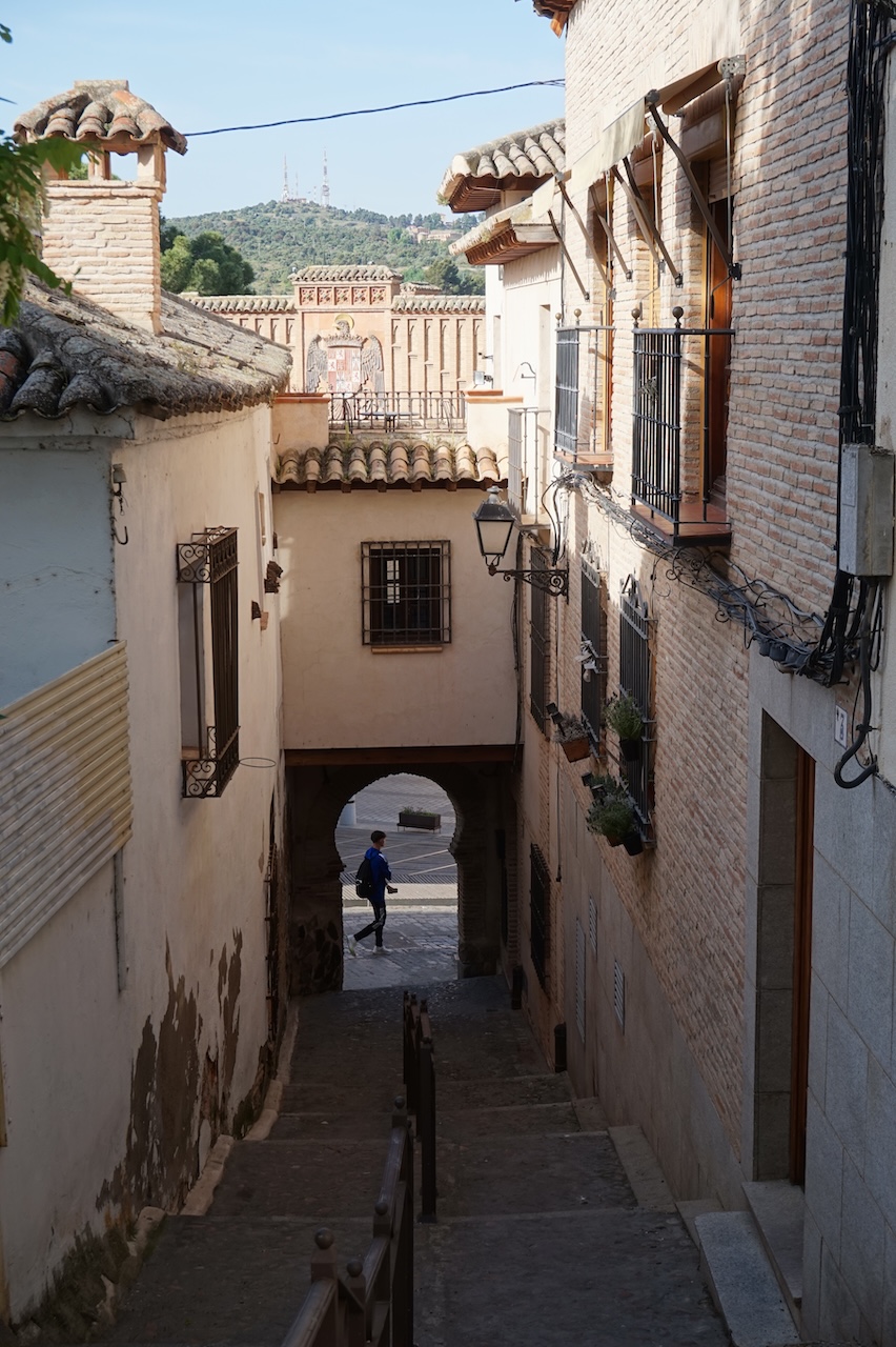
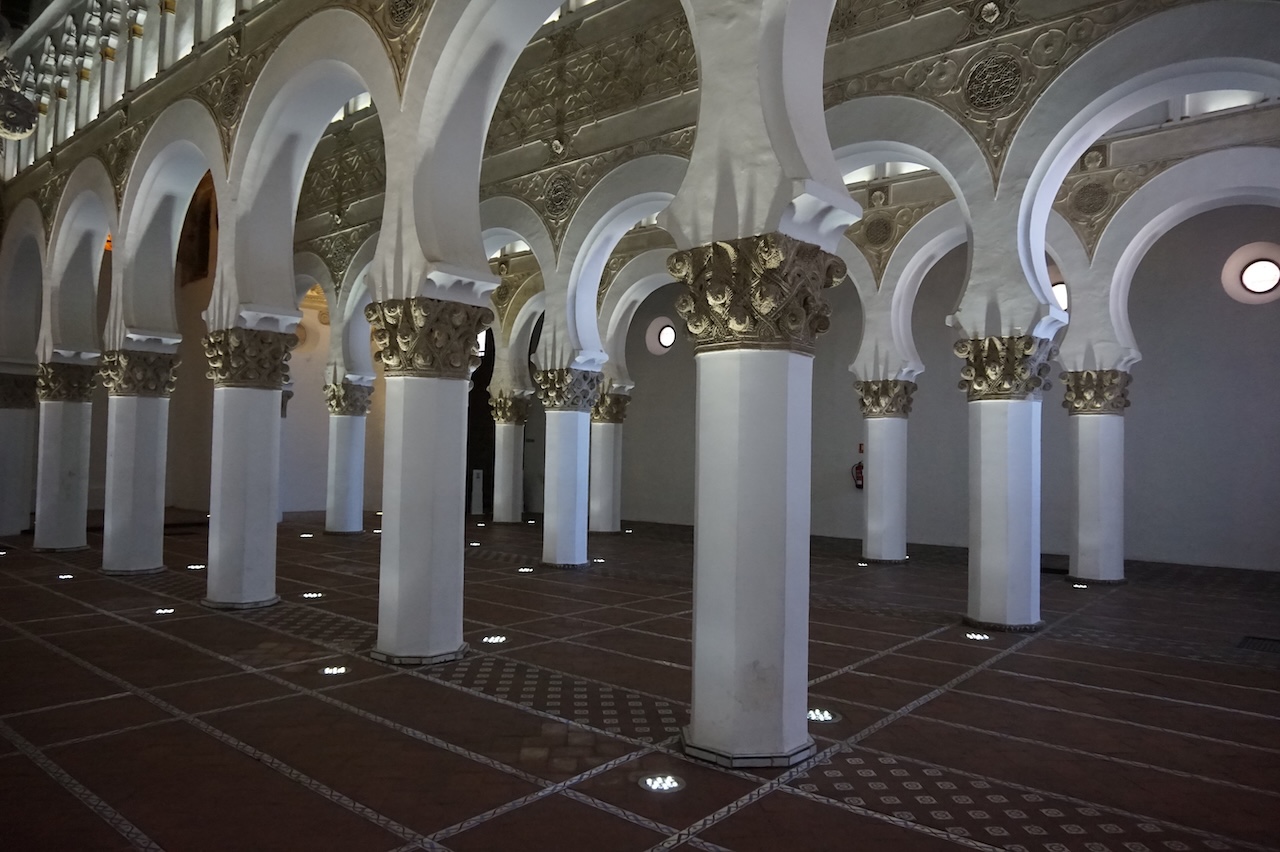
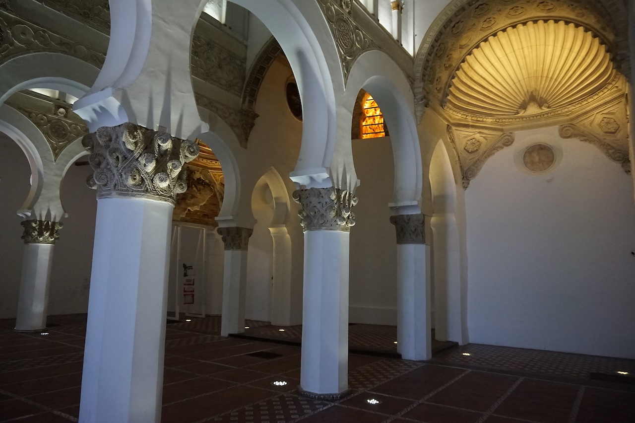
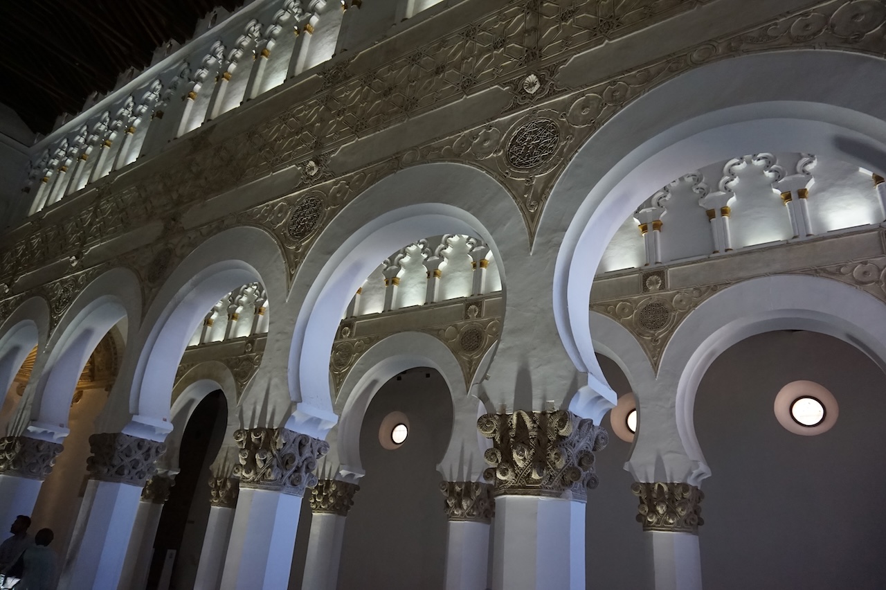
Morning time, I wandered around the city some more. As I stayed in the ‘Jewish Quarter’, I also went into the synagogue of Santa Maria La Blanca, an empty hall with white pillars.
I think the security guard was a Jew, as he was very unfriendly and looked at me, and especially my camera with a lot off suspicion. What ya think, I have a bomb in there ?
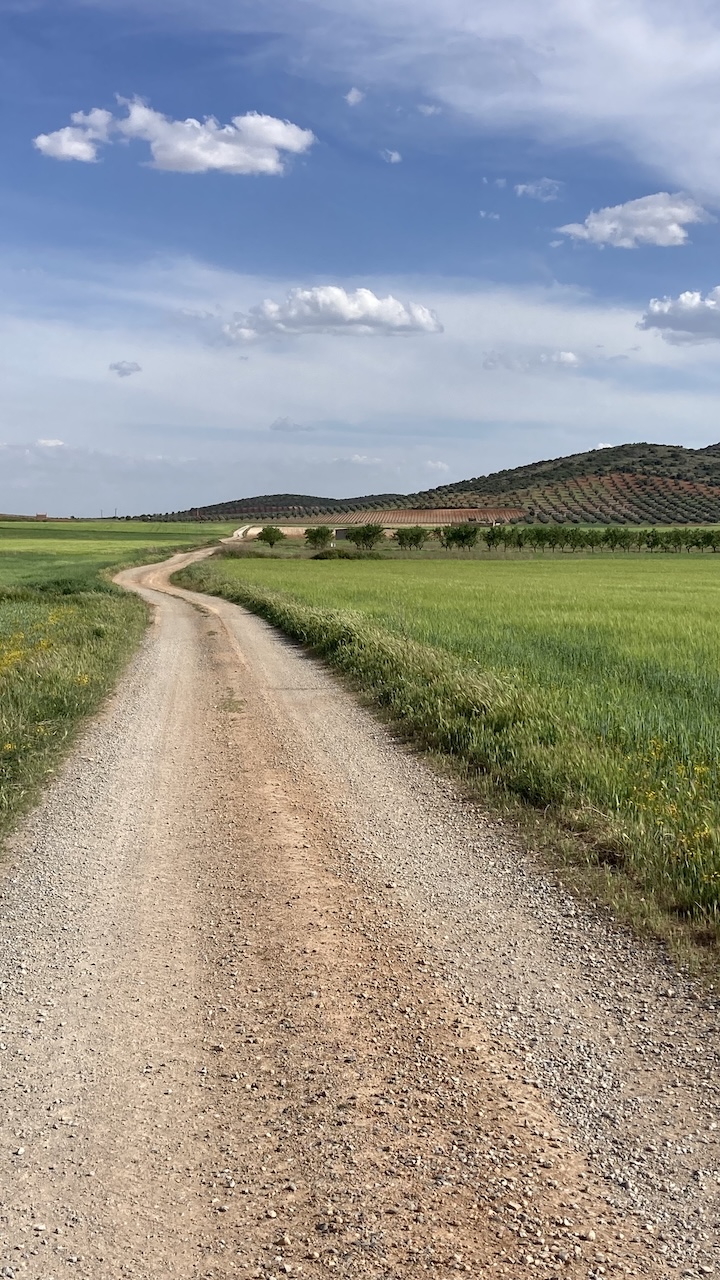
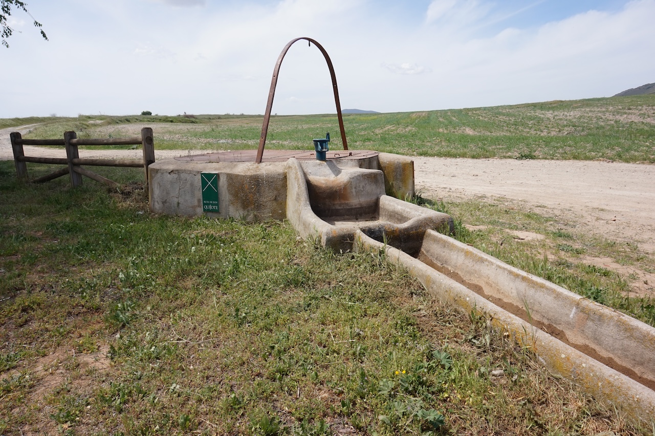
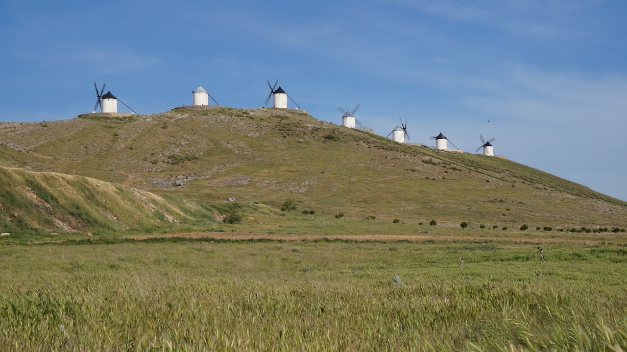
 Left town around noon time. A good climb towards Cobisa. I’m on the Rutas de Don Quixote now. Excellent off-road trails that I follow till Mora, from where I take a very, very bumpy trail towards the freeway CM 42. After crossing the freeway, a much better track, parallel to the highway towards Consuegra. Went to have a look at the windmills before taking on the final stretch, back again on the Rutas de Don Quixote towards Puerto Lapice.
At first, the track is still okay, but it deteriorates into a very bumpy affair with a lot of big, loose stones. Arrived back in Puerto Lapice an hour before sunset.