Route: Puerto Lápice – Villarubia de Los Ojos – Los Cortijos – Retuerta Del Bullaque – Sevilleja de la Jara – Talavera de la Reina – Toledo – Consuegra – Puerto Lápice
13 April 2026: From Puerto Lápice to somewhere along GR 162
15,18 km – Altitude climbed: 321 mtr
In the east, the Montes de Toledo mountain range rises up from the plains of La Mancha and continues west all the way through the Extremadura to the Portugese border. Highest peak is ‘La Villuerca’, 1.603 meter in Badajoz province, Extremadura Region.
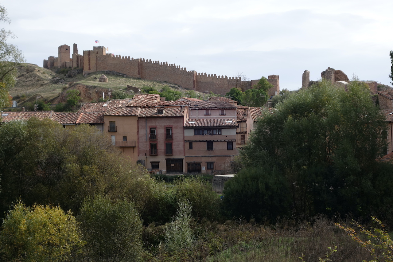
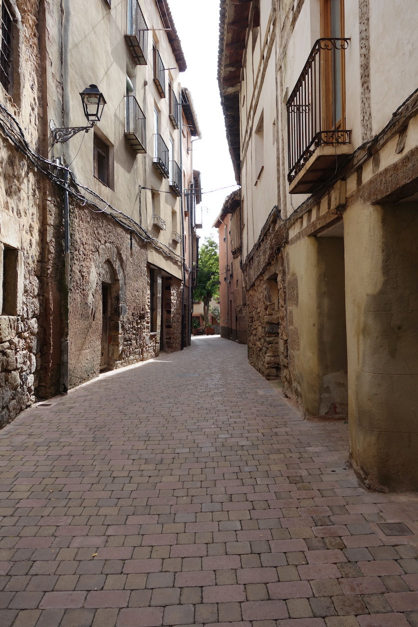
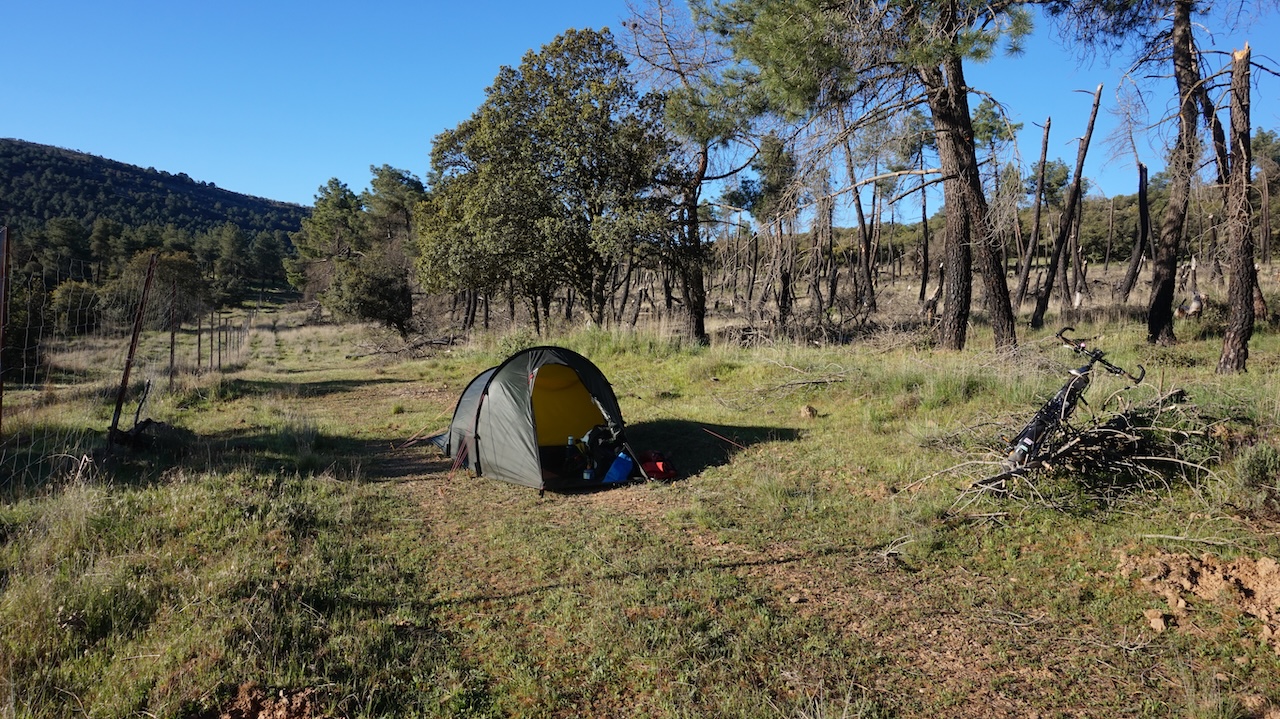
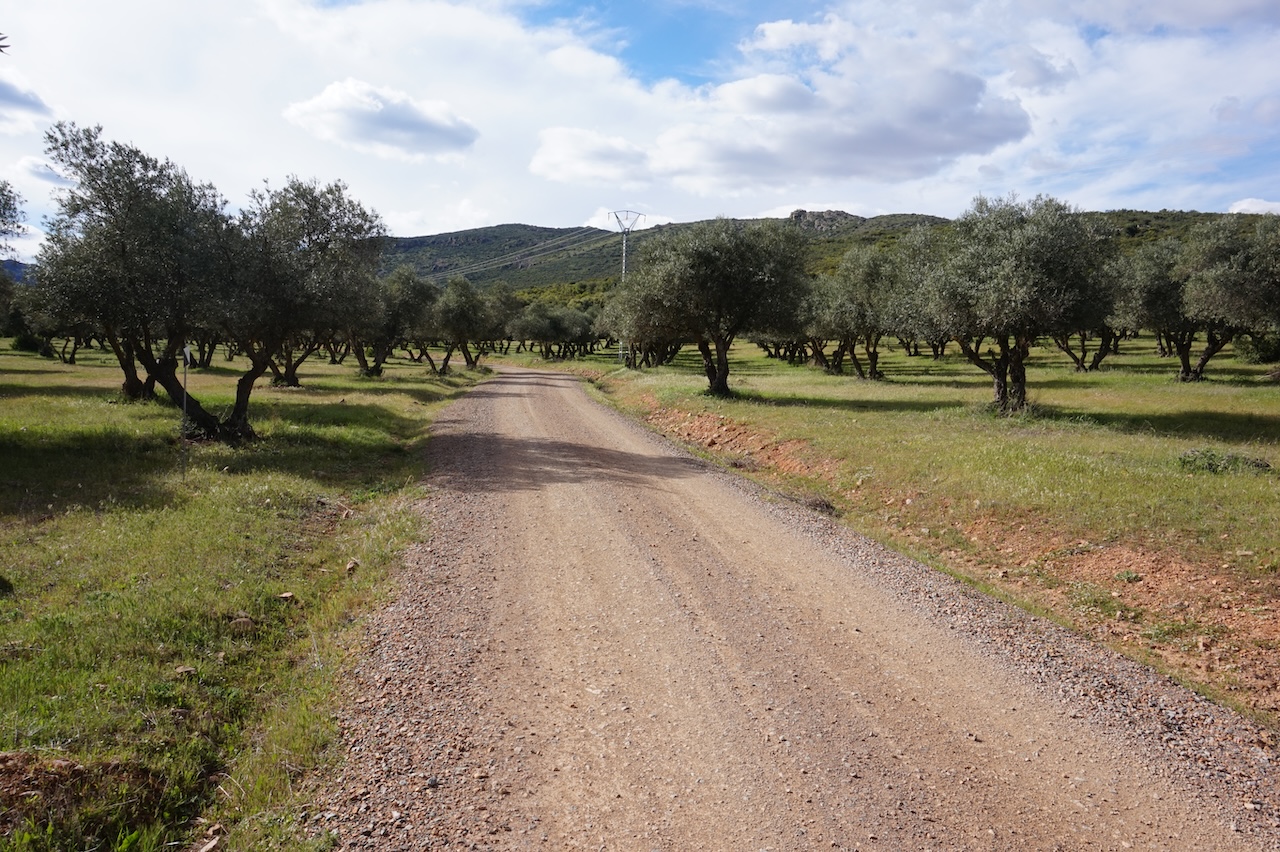 I concentrate this trip on the eastern part in Ciudad Real and Toledo provinces, both in the Castilla-La Mancha Region. I start in the village Puerto Lapice, which everybody knows of course because this is the village where Don Quixote was knighted. Initially, I’m following the GR 162 route. Via a good off-road track, I’m slowly climbing into the mountains. I’m surprised to pass a more or less deserted village on the way in. First day is pretty short. I find a good camping spot close to the highest point of the route.
This part of the mountains is home to the Iberian Lynx. Let’s hope I get to see one. Chances are small.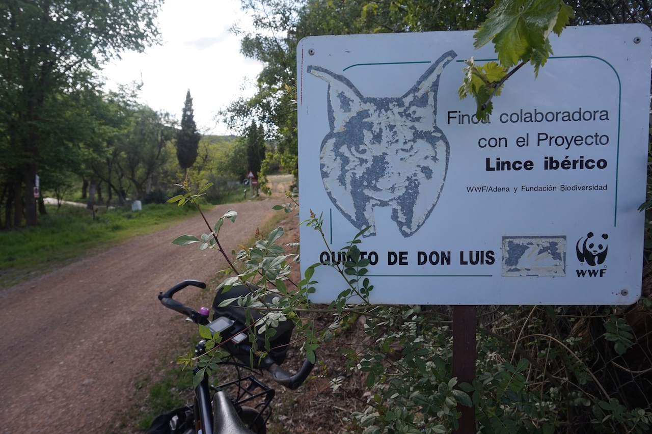
14 April 2026: From somewhere along GR 162 to a few km passed Los Cortijos
71,88 km – Altitude climbed: 580 mtr
I camped at an altitude of 970 meter. It was only another kilometer towards the highest point of this track at 1.004 meter. A bit after the highest point, Continue reading “Around Montes de Toledo”