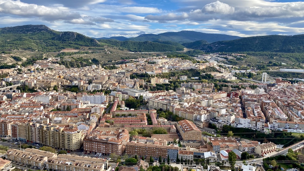
I made a couple of day trips in the ‘El Comtat’, a region bordering the north of Alicante province and the south of Valencia province. El Comtat, together with Marina Alta and Marina Baja is a region where a lot of the professional cycling peloton tends to spend their winters for training rides. Understandable because the climate is smooth most of the times and with multiple mountains over 1.300 meters, they can train their climbing legs.
Via Verde del Serpis:
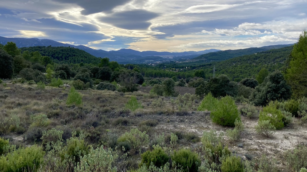
But it doesn’t have to be climbing. There ’s a via verde from Cocentaina, near Alcoy, towards the coastal town Gandia. I rode it up and down, starting in Muro de Alcoy down to Villalonga (about 15 km before Gandia) and back to Muro de Alcoy.
Upon leaving Muro, you first descend towards the Rio D’Agres and a short steep climb back out of it’s little valley. Now I’m riding a quiet paved country road towards Gaianes. To my left (north) is the Sierra de Benicadell.

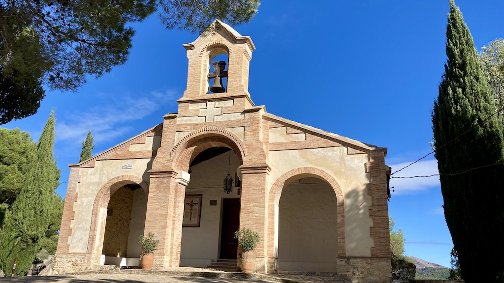
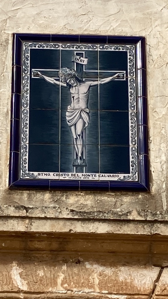
Arriving in the next little town, Beniarrés, I ride to the highest point in town where you’ll find the Ermita Del Santo Cristo, a beautiful white church.
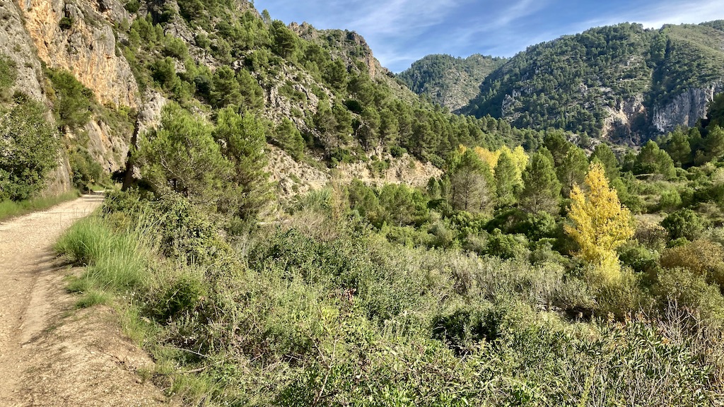
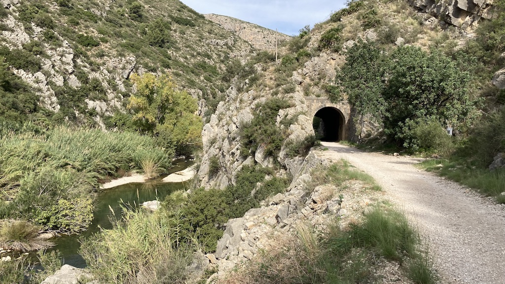
From Beniarrés, you could take the cv-705, the road over the Sierra the Benicadell, but that’s for another time. Here, the via verde starts for real. I immediately have to ride through the first old railway tunnel. It’s still a paved, narrow road where in theory you could encounter a car or a tractor going to the fields, but I never saw one.

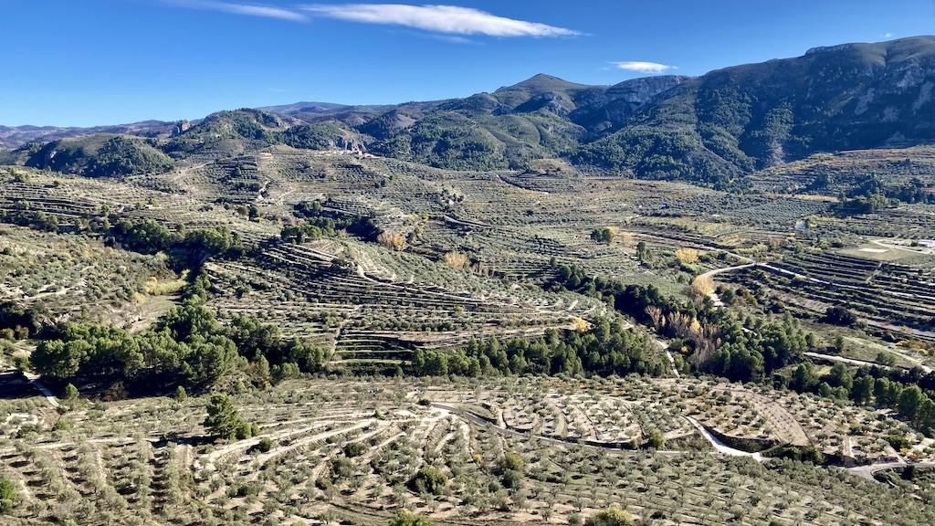
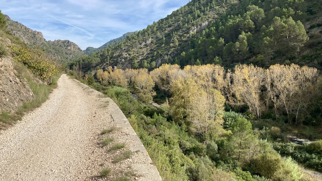
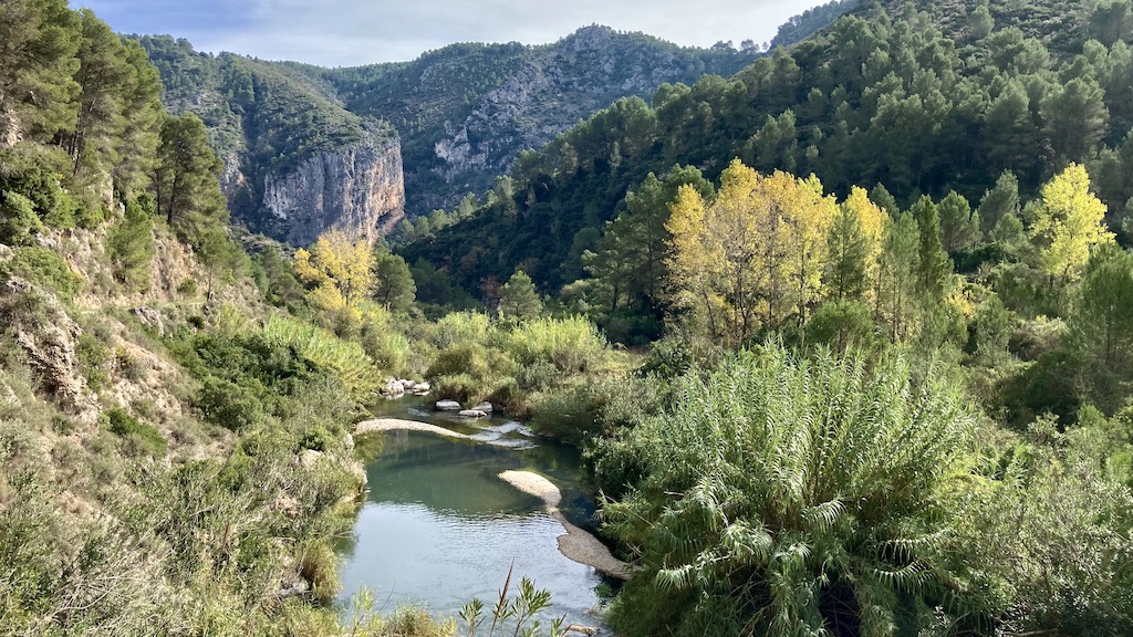
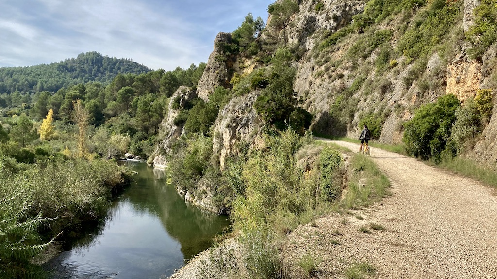
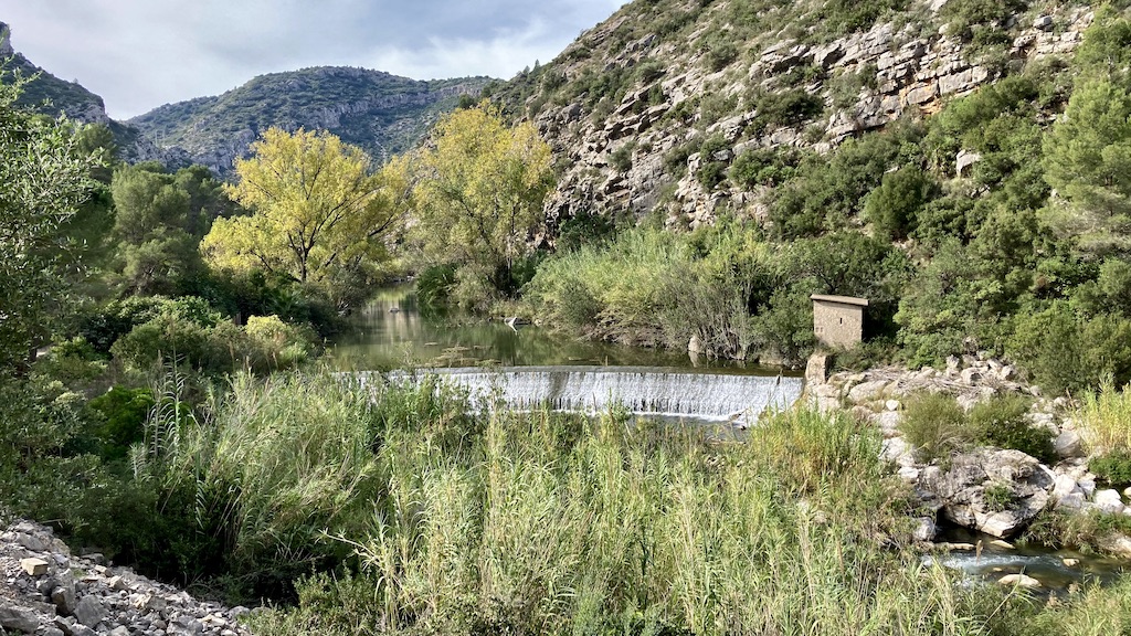
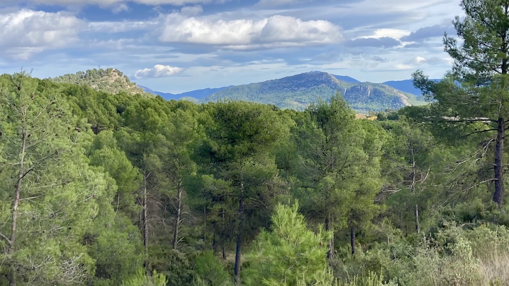
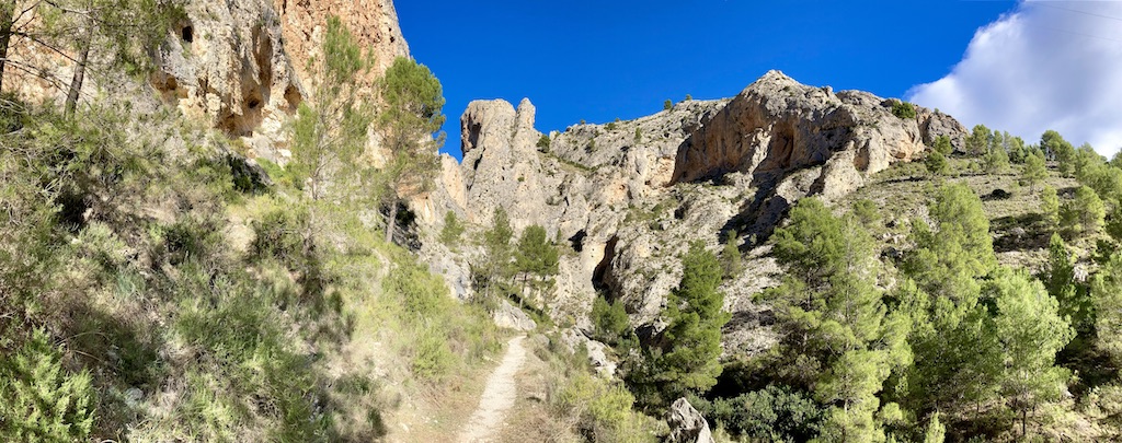
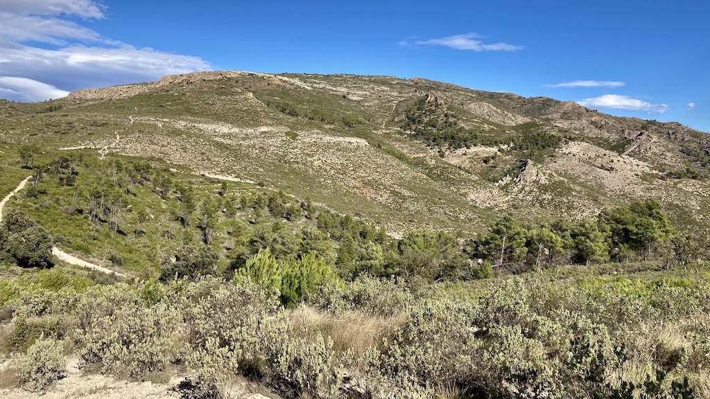
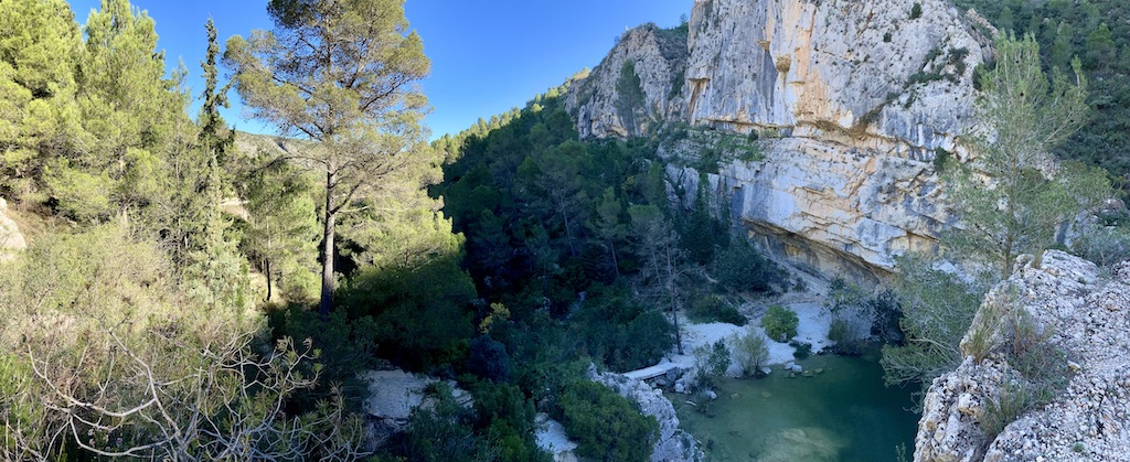
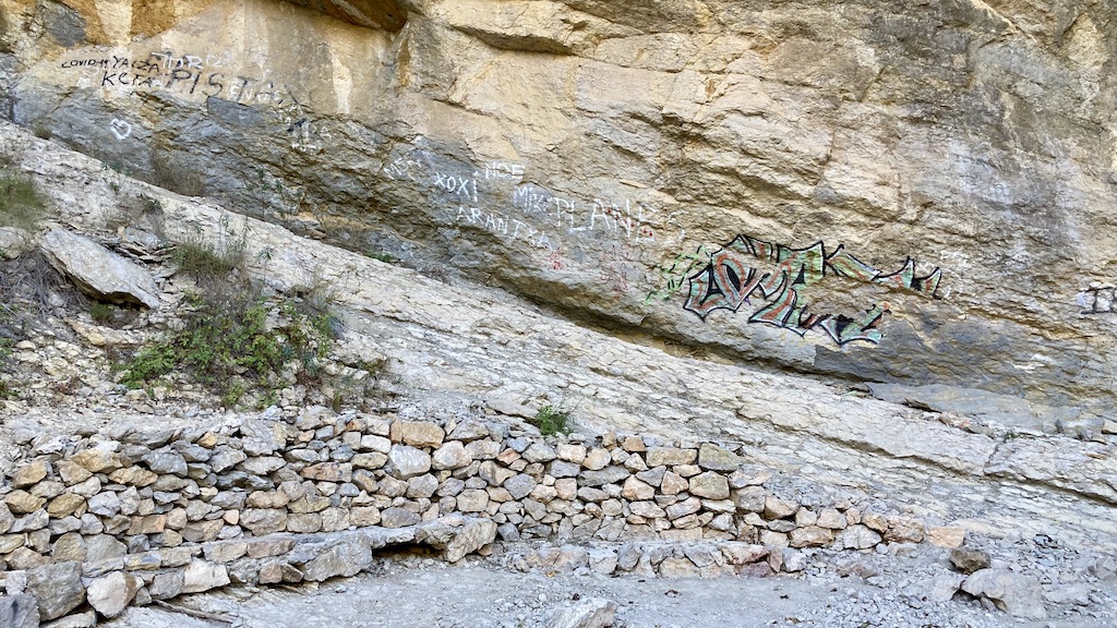
Near the town of L’Orxa it starts to get really spectacular. First I get views to the Castillo de Perputxent. Continuing on the gravel road I soon reach the borders of the Rio Serpis. From here, all the way towards Villalonga it is really spectacular, cycling through the barranc de l’Infern.


A trip to Bocairent:
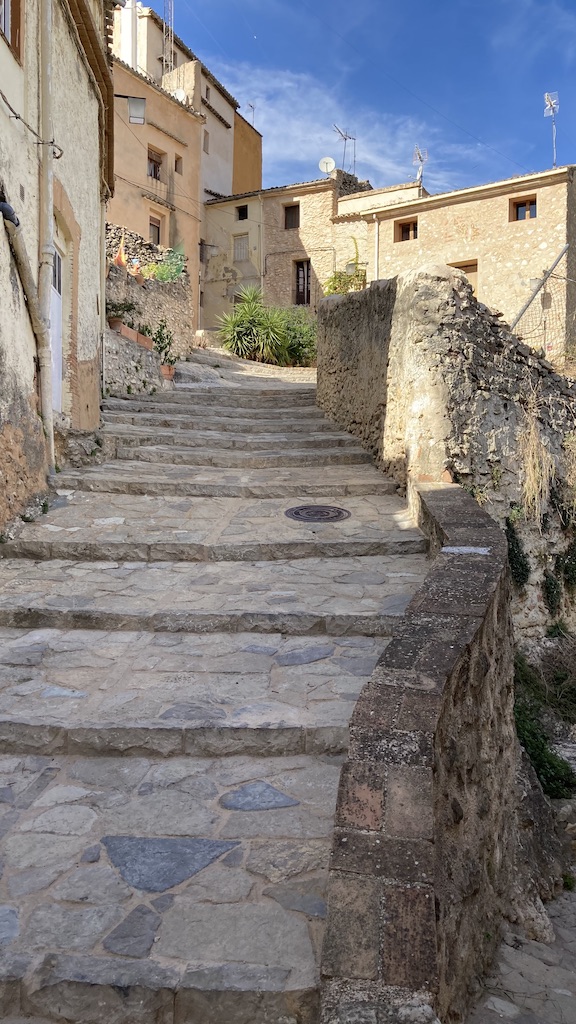
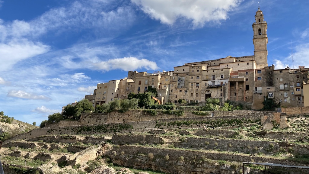
Bocairent is a small medieval town, north of the Sierra de Mariola National Parc. I first visited the towns’ bull ring. Dating back to 1843, it is the oldest one in the Valencia region.

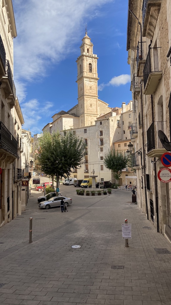
Arriving at the ‘Placa de Ajuntament’, the main square, I could admire already the impressive church ‘Santa Maria de l’ Assumpcio’. Unfortunately it was closed, so the interior will be for another time.


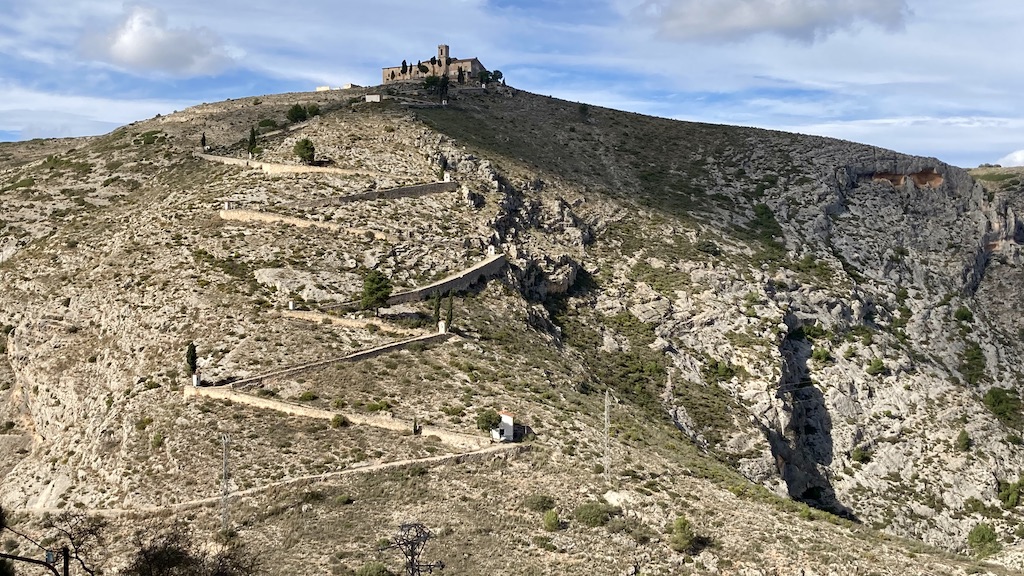
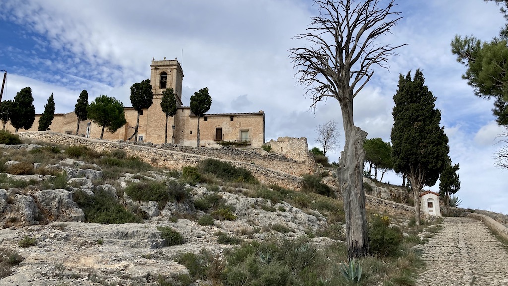
From the city walls I have a good view towards ‘Les Covetes dels Moros’, human made caves and corridors carved out of the mountains. They just dropped three buses with school kids at the bottom of the hill to visit these caves, so I decided to skip it and instead hike to the top of the hill to have a look a the monastery ‘Ermita del Santo Cristo’.


Via Verde del Xixarra and the Sierra de Mariola:
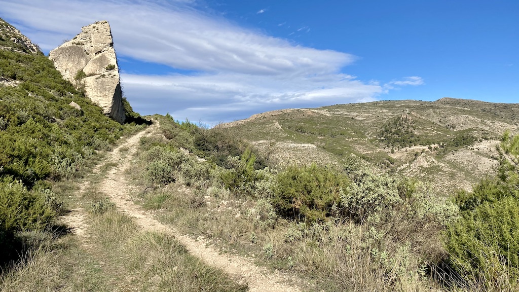
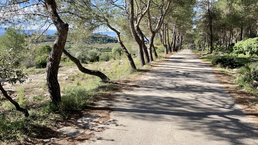
From the town of Cocentaina, I took the Via Verde del Xixarra. The greenway is not paved. Sometimes gravel, sometimes bigger stones, the going is slow, but the scenery nice and free of traffic. Close to town I still see another cyclist or runner from time to time, but after a few kilometer, I’m on my own.


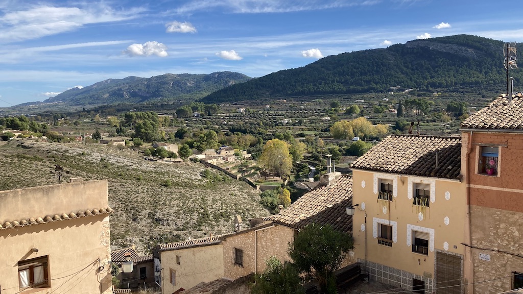
The greenway, heading west is passing Bocairent which I visited the day before. Here I leave the via verde behind and turn south on the Cv-794 which crosses the natural park. A short steep climbs follows, but after that it’s all easy riding all the way back to Alcoy.

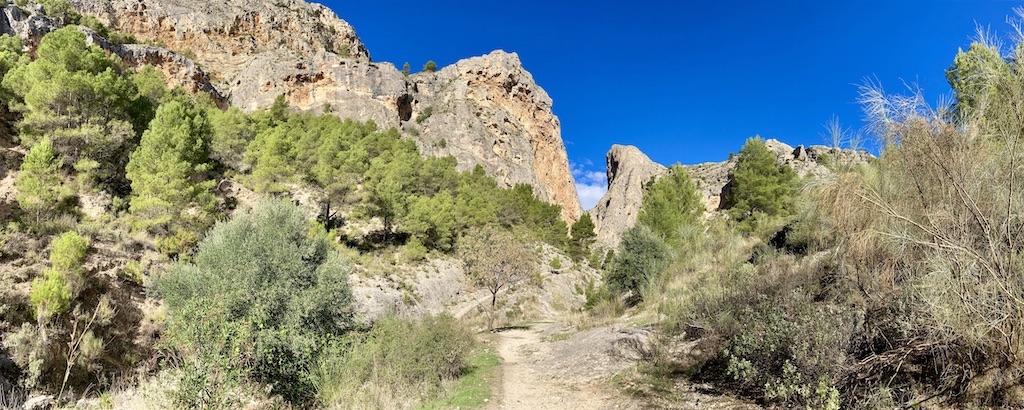
Dayhike ‘Barranc del Sinc’:
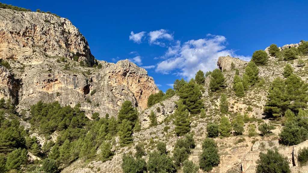
Upon riding down towards Alcoy, I saw a spectacular rock formation just out of the town. I took a quick look around and decided to hike the circuit one of the following days. The ‘Barranc del Sinc’ hike is 11,3 km long with an altitude gain of about 600 meter in total.


Bike trip north of the Sierra de Benicadell:
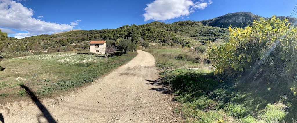
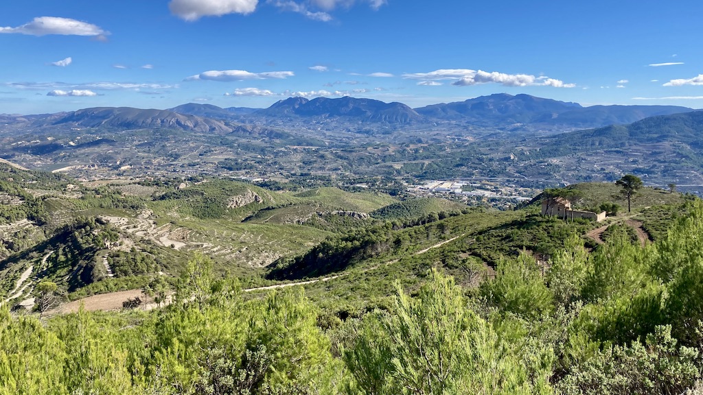
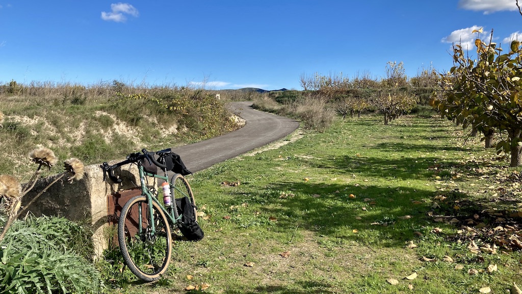
As I’m not in the best of shape right now, I decided to go from the north of Alicante province to the south of Valencia province and make a day ride in the flatter lands here. I started in ‘La Pobla Del Duc’ and via small roads and tracks I went via Benicolet to Llutxent. Just north of this town I first passed the ‘Ermita de la Mare De Déu de la Consolació’, founded in 1772 by Catalan pilgrims.
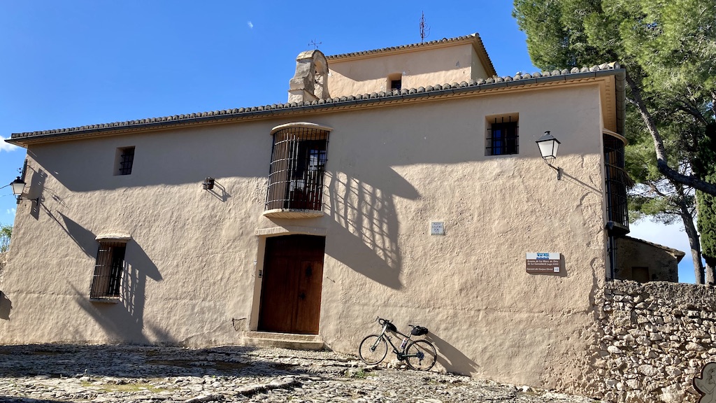
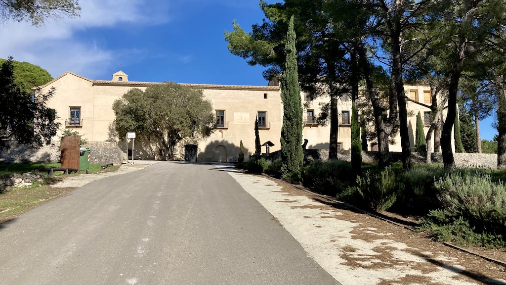
A bit further up the road is the Monestir Corpus Cristi, built in 1422

Further on the route is nothing too special, just easy riding.


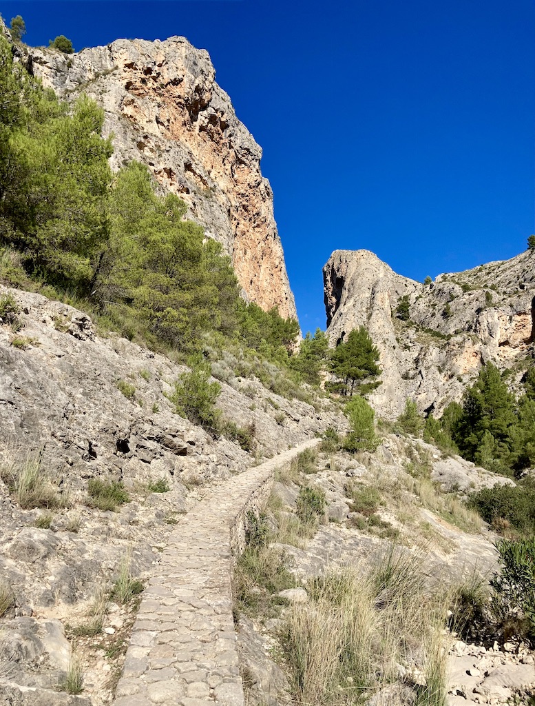
Dayhike in Planes, Circuito Ermito de Santo Cristo:
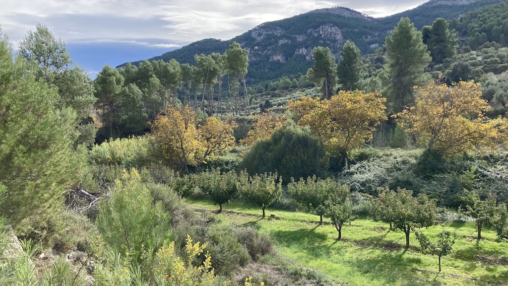
My last trip was a beautiful 10 km dayhike , starting a bit outside of Planes. Walking first alongside a small olive grove, I soon arrive at the Barranco de L’Encantada.

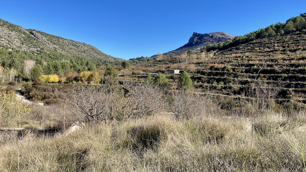
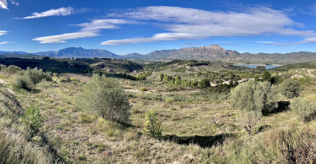
After the barranco, I hike for a long time on a single track with fantastic views towards the Sierra de l’Albureca.
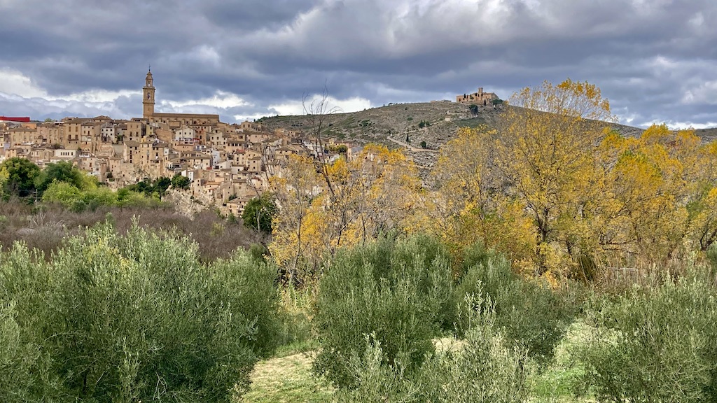
Turning around the corner of the Sierra del Cantalar I’m back on a small asphalt road. The views towards the reservoir ‘Embalse de Beniarrés’, constructed in 1958. Behind the reservoir the Sierra de Benicadell.


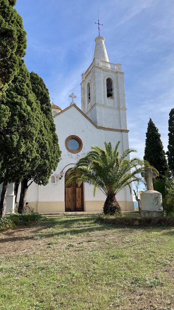
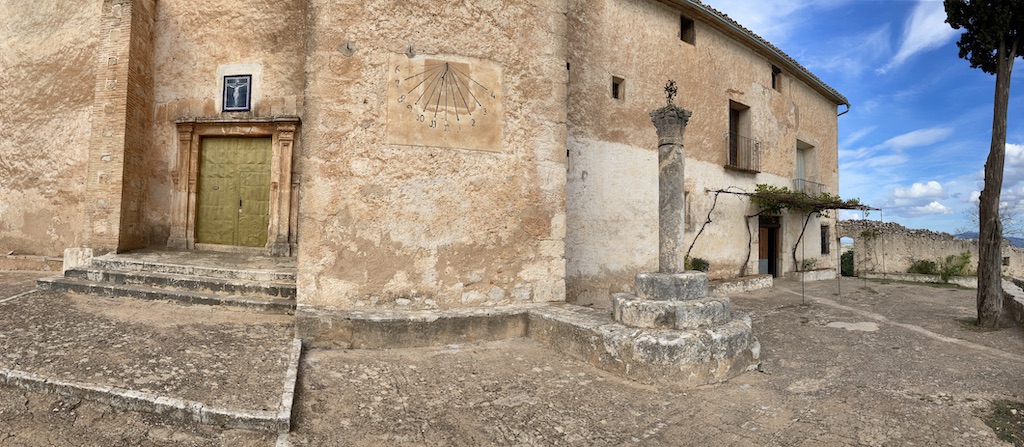
Shortly after joining the main road, the track goos steep up towards the Ermita del Santo Cristo. Would be a good track to run up and down for your daily work out.