Route: Aluminé – Junin de los Andes – Villa La Angostura – Bariloche – El Bolson
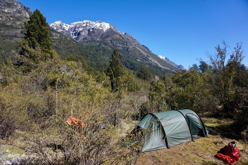
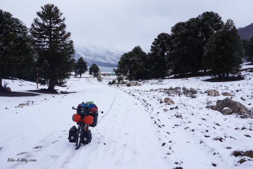
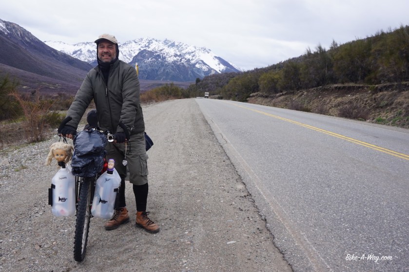
Having entered Argentina’s ‘Lake Region’, I headed down to the first lake within reach. One of the smaller ones, ‘Lago Ruca Choroi’, at the end of a 30 km dead end road, west of Aluminé. It’s a ripio road, but too my disappointment much busier then expected. There are small Mapuche settlements at regular intervals, and I have the impression they all drive up and down to Aluminé this evening. As I’m getting deeper into the Andes, temperatures drop quickly and my progress is slower as expected. After sunset I enter Parque Nacional Lanin (named after the volcano Lanin), which covers the northern half of the lake region. I pitch the tent next to the lake, near some trees for wind cover (which would turn out to be a bad decision). During my second night at the lake, it snowed. Well, first it rained during the day, then wet snow, then snow. In the morning, all this frozen icy wet snow started to drop from the branches on my tent in pretty big and heavy chunks. No damage, but I packed my stuff quicker then usual that morning.
The road back to Aluminé was a muddy affair.


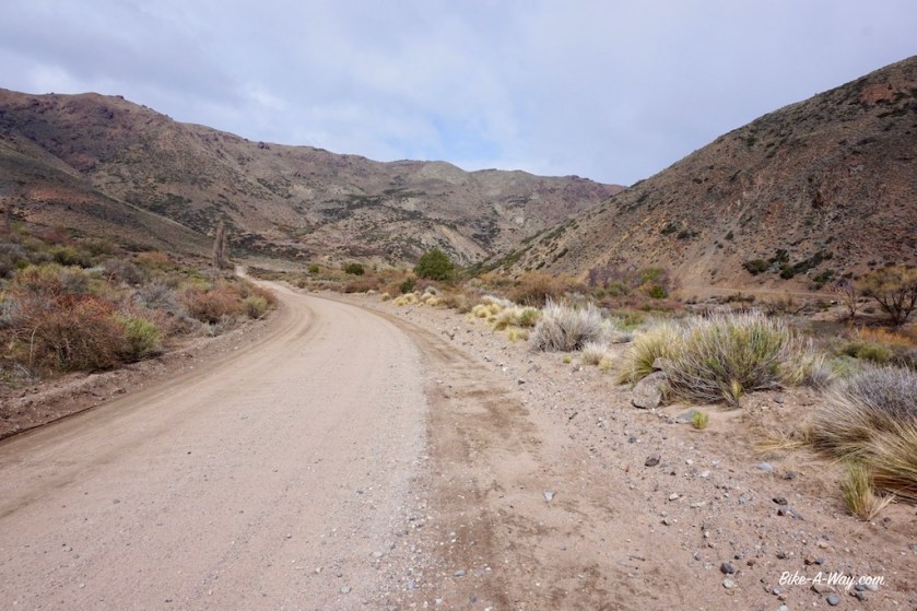
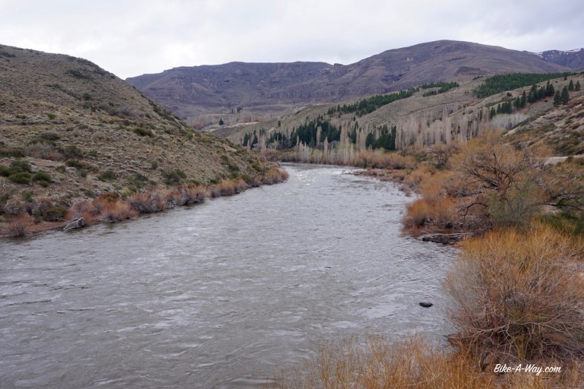
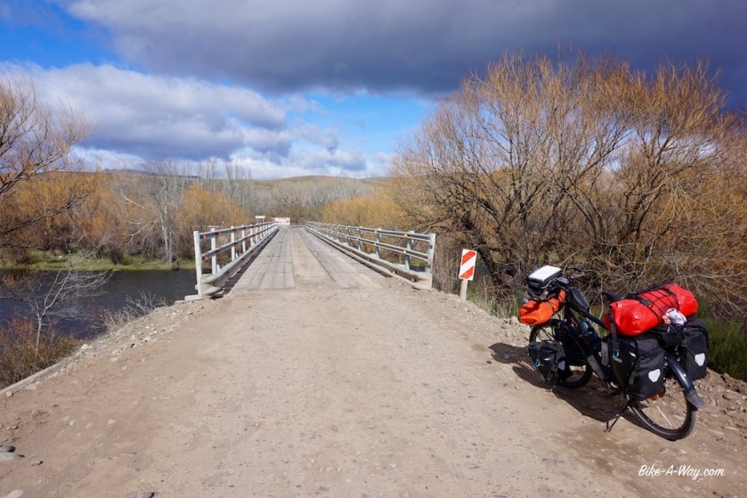
After Rahue, I took ripio road 23 riding south along the river, a nice and quiet option. I wanted to visit some other lakes at the end of some dead end roads further west, but the weather wasn’t really inviting.


The next ‘town’, Junin de los Andes lays just above the 40th latitude.
All was fine till there.
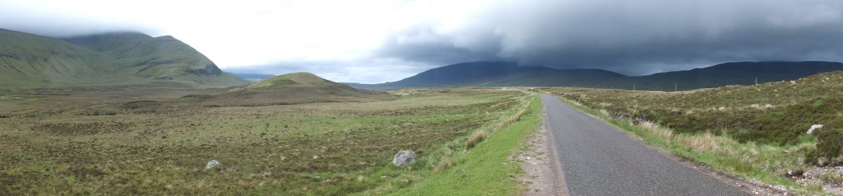
South of Junin de los Andes, having crossed the 40th latitude, it immediately became clear why the area south of that is famous as the ‘roaring forties’ among sailors.
I got into a true Patagonian storm as I hadn’t experienced before.
Riding a bike ?
Forget it !
Pushing a touring bike ?
Well, I could do one, two, three steps.
Stop.
Recover (Holding the brakes to avoid being blown back).
One, two, three steps….
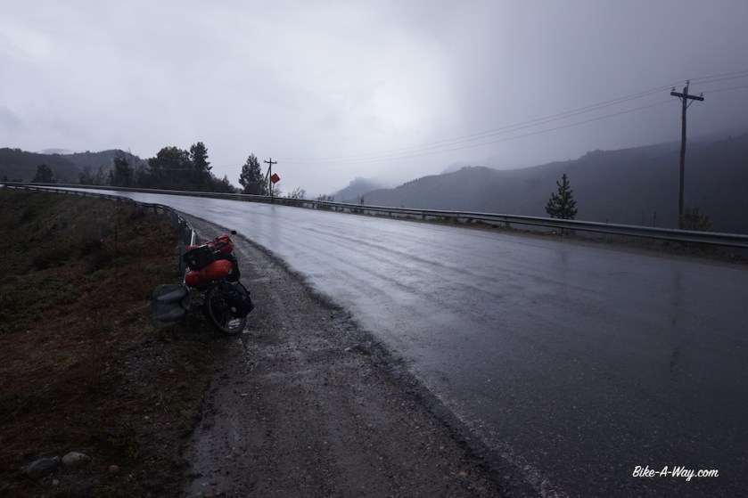
It starting raining, which soon became wet snow.
Passing cars sprayed it all over you.
Good rain gear or not, I got cold.
Push, one, two, three.
Stop.
Recover.
I can hardly hold the bike, so much wind.
Then a pick-up truck stopped and offered me a ride.
I gratefully accepted.
This was way too extreme and dangerous along this relatively busy road (I rejoined ruta 40 just north of Junin).
No places to pitch the tent and wait it out.
A shame I missed part of the region, but so be it.
The bad weather lasted for four days. I sat it out in a hostel in ‘Villa La Angostura’.
Chocolate shops, pizza restaurants and outdoor stores. That about sums it up as for as Villa La Angostura is concerned.
The outdoor stores are of the sort where you can buy shoes and jackets. Don’t think a decent tent or multi fuel stove is on offer.
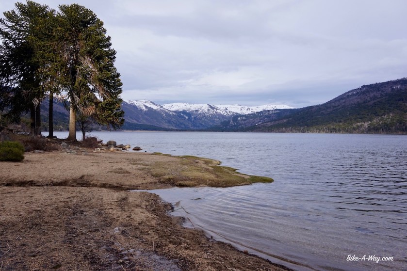
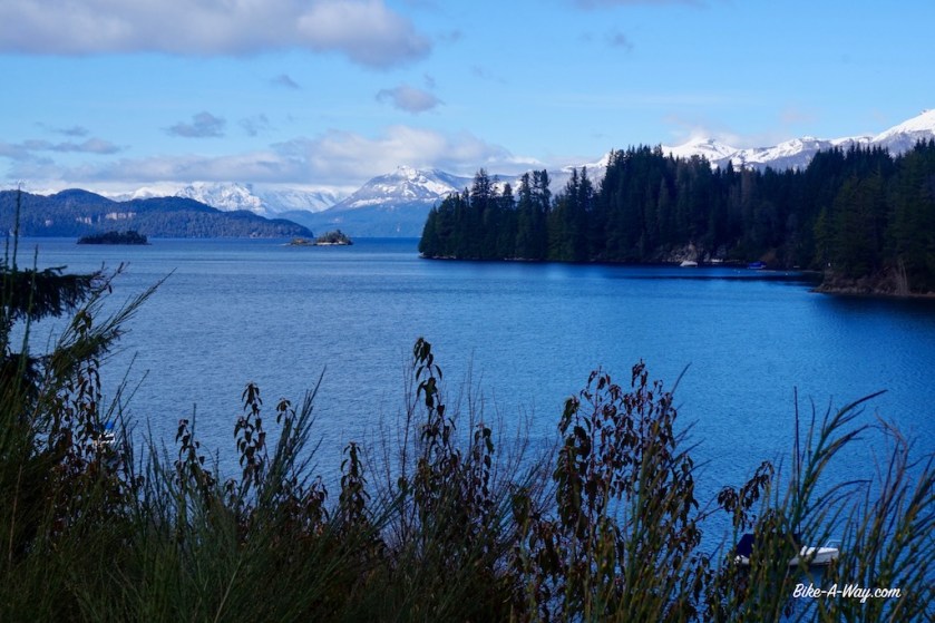
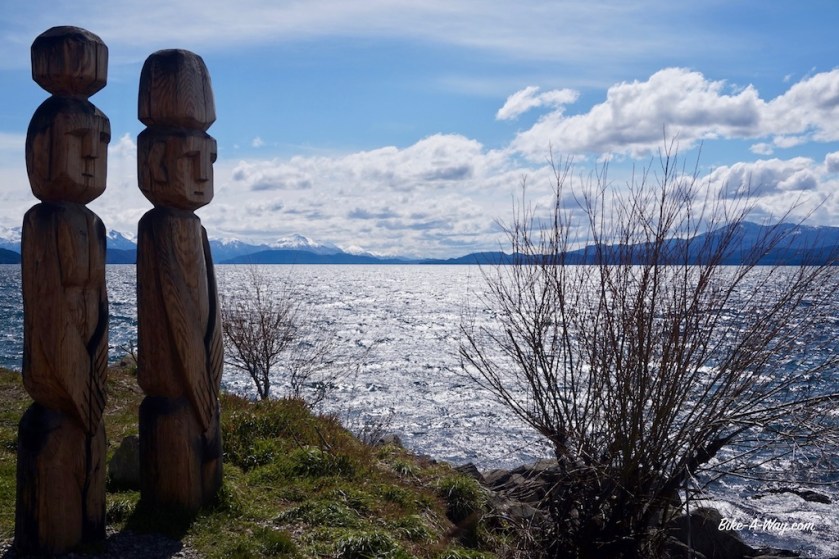
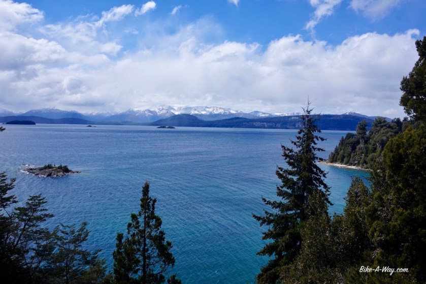
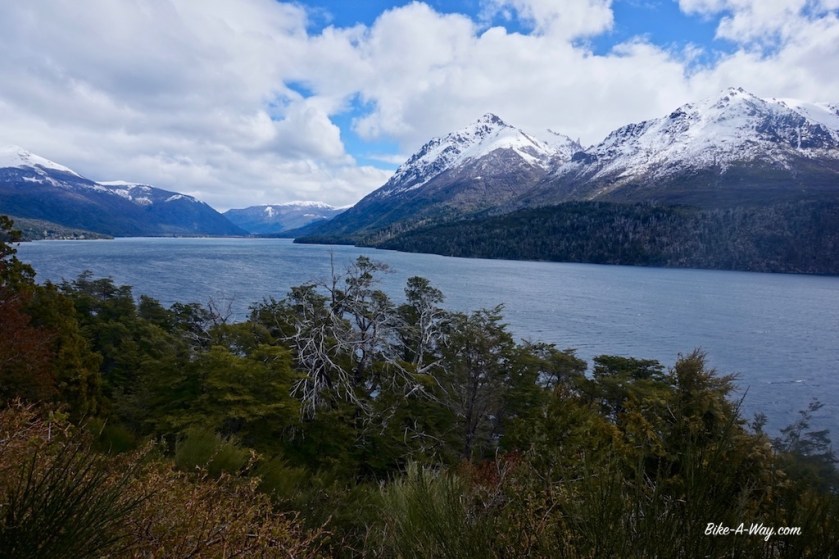
I’m now in Parque Nacional Nahuel Huapi and am riding the northern shore of the lake Nahuel Huapi, with it’s 557 km2 the biggest lake in Northern Patagonia. The snow line is only 30 / 40 meter above the road.
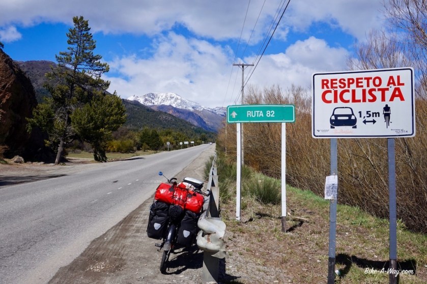
Ruta 40 is still busy, and I’m here at the beginning of October, as low as low season can go. I don’t want to imagine what this route is like in high season, and can’t understand why so much cyclists rave about it.
Yes, the scenery is great, but the cycling not really with the speeding, continuous stream of traffic. You’ve got a car passing you every 15 seconds or so, often a stream of multiple cars. When I was lucky, there were intervals of 45 seconds between cars.

San Carlos de Bariloche. It seems to be the most famous tourist town in this region. It’s much, much bigger as I expected. Much bigger as shown on both the maps I carry. I don’t like the place. Guide books that rave about the towns architecture haven’t visited the place in decades I guess. The air is thicker with heavy diesel fumes as it is in Bangkok.

I meet up with Sebastian, a German cyclist and we make a nice day ride, known as the ‘circuito chico’ here along the southern shore of the lake (nice but ooh…. that traffic 😦 ).
After the famous Llao Llao hotel, we visit a few beautiful view points and return to Bariloche passing what they call here Colonia Suiza and Moreno lake, named after Perito Moreno.
Now, this guy must have done something right, having a lake, a mountain, a town, a national park and the most famous glacier in the southern hemisphere named after him.
There’s a museum about him in Bariloche where you can find it out.


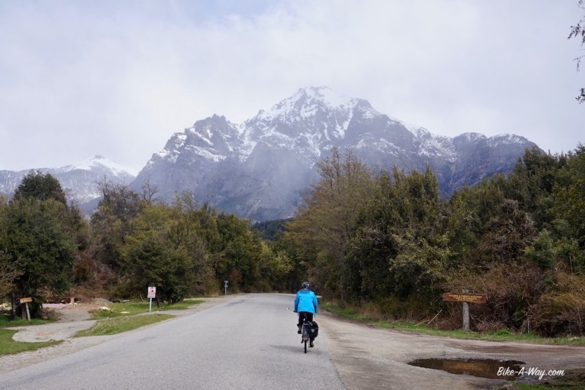


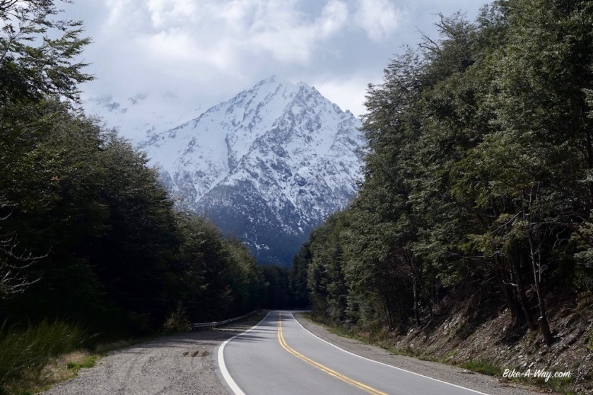
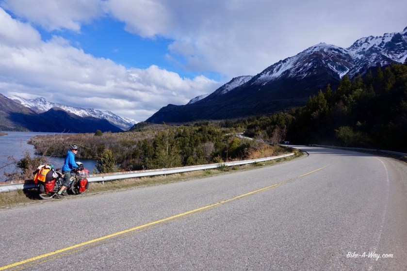
Together with Sebastian, I leave Bariloche. The scenery is again amazing.
We’re riding along several lakes, Lago Gutiérrez, Lago Mascardi, Lago Guillelmo, …


Sebastian has an address to stay with somebody in El Bolson. As I didn’t like that town either (busy streets, stinking diesel fumes), I left town immediately after buying provisions.
While for a mysterious reason, Ruta 40 was more or less ok between Bariloche and El Bolson, south of El Bolson, all hell was loose again.
Since the beginning of this trip, I’m keeping a spreadsheet, classifying the countries drivers’ abilities from A to E, so from very good being ‘A’ to very bad, being ‘E’.
I never expected I’d have to add category ‘F’ to it, but I feel I might have to.
As I’m such a nice guy I won’t do it.
For now.
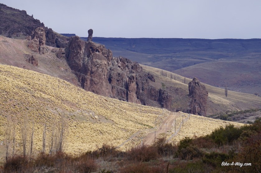
My gps showed a small ripio route just west of ruta 40 to El Hoyo. Closer to the mountain, no traffic, cycling was great again.
South of El Hoyo and back on ruta 40, I met an experienced Argentinian cyclist, Patricia who recommended me to camp next to Lago Epuyén, a bit further south.
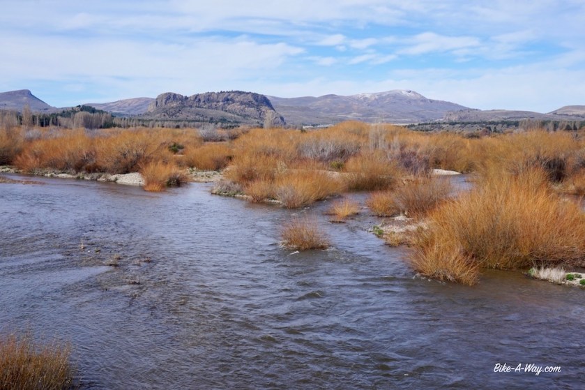
Daylight was running out and I didn’t make it that far, but found a really nice spot right next to the Rio Epuyén.


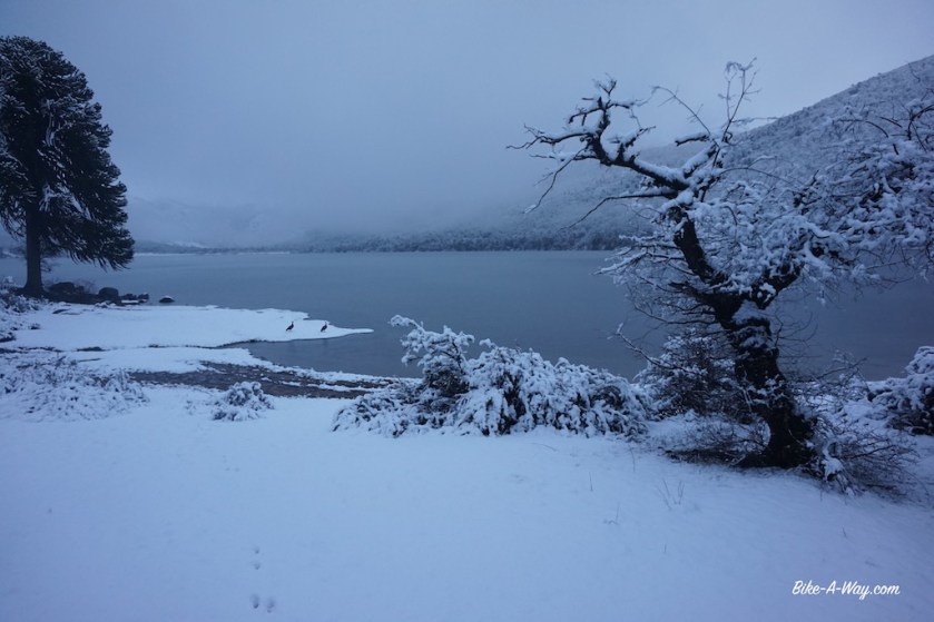
Still cold nights.