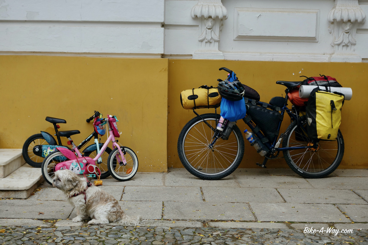
From Hervás, where I collected my long awaited package, I planned to ride the Cicloextremeña, a mostly off-road route along the borders of the Extremadura region, about 1.300 km. The makers have made a nice website with more info and links to download the tracks here.
I had to start climbing immediately to the highest point of the whole route, the Puerto de Honduras at 1.440 meter.


Down in Hervás, temperature was a mere 8 degrees Celsius. I can only imagine what it will be up there. Luckily it had stopped raining. Still, I was wearing four pants. My cycling pants, long cycling pants, running shorts and my rain pants. For the body, I wear a long sleeved t-shirt, my new soft shell and a rain jacket in ‘Gore-Tex pro’, the strongest kind. On my head a bandana and the hood of the
soft shell + the hood of the rain jacket and my helmet on top of it. At my hands some sturdy gloves I bought in Norway.
The climb is super easy. An average of 5% maybe.
Through a forest of chestnut trees I’m leaving the valley of Rio Ambroz. The violent wind has littered the road with lots of tree branches and thousands and thousands of chestnuts. The old folks of Hervas were out to gather them.
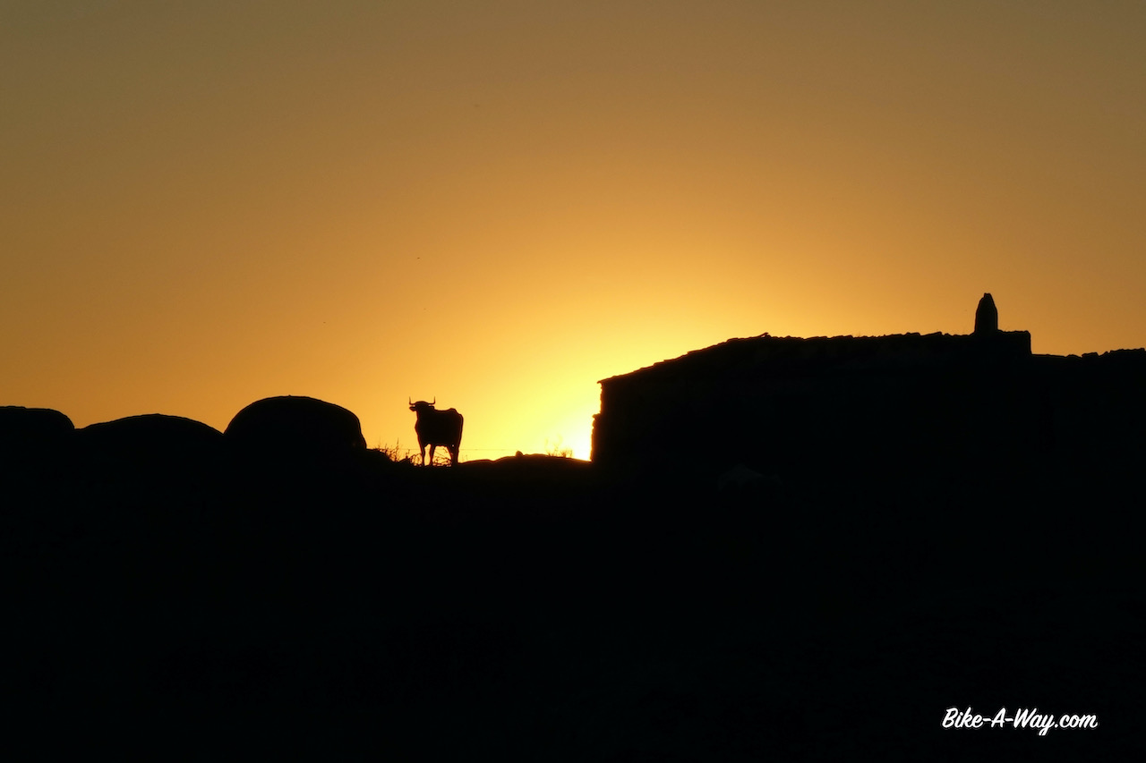
Having started late afternoon in Hervás, I arrived at the Puerto de Honduras at 6 pm.
A bitter cold wind was blowing over the pass.
There was nowhere on the climb to pitch a tent. I would normally never pitch my tent close to the road, but only two cars passed me on the way up and the grassy field next to the closed stone hut on the top seemed the only place behind which one could pitch a tent and have some break from the stormy winds.
It got bitterly cold and the wind kept blowing violently all night. I was surprised to see a thick fog in the morning, in combination with such winds.


Since a couple of days, my knees hurt again. All night the upper legs hurt as well and kept me awake. I wonder wether it could be an infection because of the cold ? To spare the legs a bit, I skipped a visit to the town of Plasencia. I’d have to descend to an elevation of 340 m asl.
Instead I chose the shortcut to Cabezuela Del Valle at 520 m asl. I’m now in the valley of the Rio Jerte and can start climbing the next hill top without the stress of going all the way to Plasencia, shop for provisions there, and get out again with probably not much time to spare to find a camping spot before dusk.
Well, talking about taking a that short cut to spare the knees….. the climb out of the valley was between 10 & 17% for some kilometers until it flattened out to a more doable 5 – 6%. Just like in the Valle de Ambroz, also in the Valle de Jerte I’m cycling between the chestnut trees. And also camping between them. I made it a short day and save the next hill top for tomorrow.
Next morning, I could barely walk. I had to move like an octogenarian with two wooden legs. The pain is on the inside of the knees. I had some knee pain in the past as well, but I always ignored it and then it disappeared automatically, so I thought it was best to continue this proven approach.
But it is different now. It is both knees and the pain is almost unbearable when I have to walk or do stairs. Laying down, I can move the knees without pain or problems. Cycling gives only a bit of pain. walking almost impossible.
In Piornal, almost at the top of the next climb, I took a side road towards Jaraiz de la Vera where I booked a hotel for three nights, but ended up staying there for a week.
A visit to the local Centro de Salud (medical center) didn’t clarify much. Unfortunately doctors seem to be able to graduate from university without having the slightest knowledge of basic English. I’ve noticed that before in Spain. That’s a pity.
I got some pils, a creme and pain killers.
This trip seems to stand under a bad omen. The problem with my package and the broken mattress are nothing. They are solved with a bit of patience and at a small cost. This knee problem is more serious…
After a couple of days I started to investigate what medication I was actually taking. The prescription leaflet is uniquely in Spanish, so internet had to help me. Even online I could only find a Spanish explanation which didn’t make anything clear to me. I suppose it’s against inflammation.
I was surprised to find out the pills, of which I hoped they would have a curing effect, were pain killers as well, just like the Paracetamol.
I stopped the latter immediately. I normally never take pain killers, cause they do nothing to cure you, just mask the problem, potentially making it worse, if I think logically.
After a week I left the hotel. Still, only 10% improvement maybe, but I just had to go out.
I had redrawn my route, again, with a lot of pain in my hearth leaving the Cicloextremeña and going for a smaller loop, avoiding climbs as much as possible.
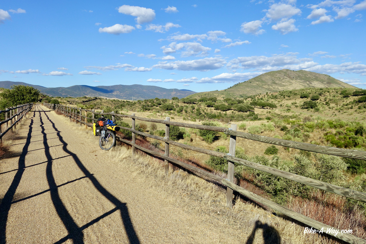
First I headed to a stretch along the Camino Natural del Rio Tajo, which I rode in 2017 and where I made some waypoints with good wild camping spots. Loaded up with food for three days from the supermarket in Jaraiz de la Vera I head out.
On the main road.
Not my favorite thing, but ok.
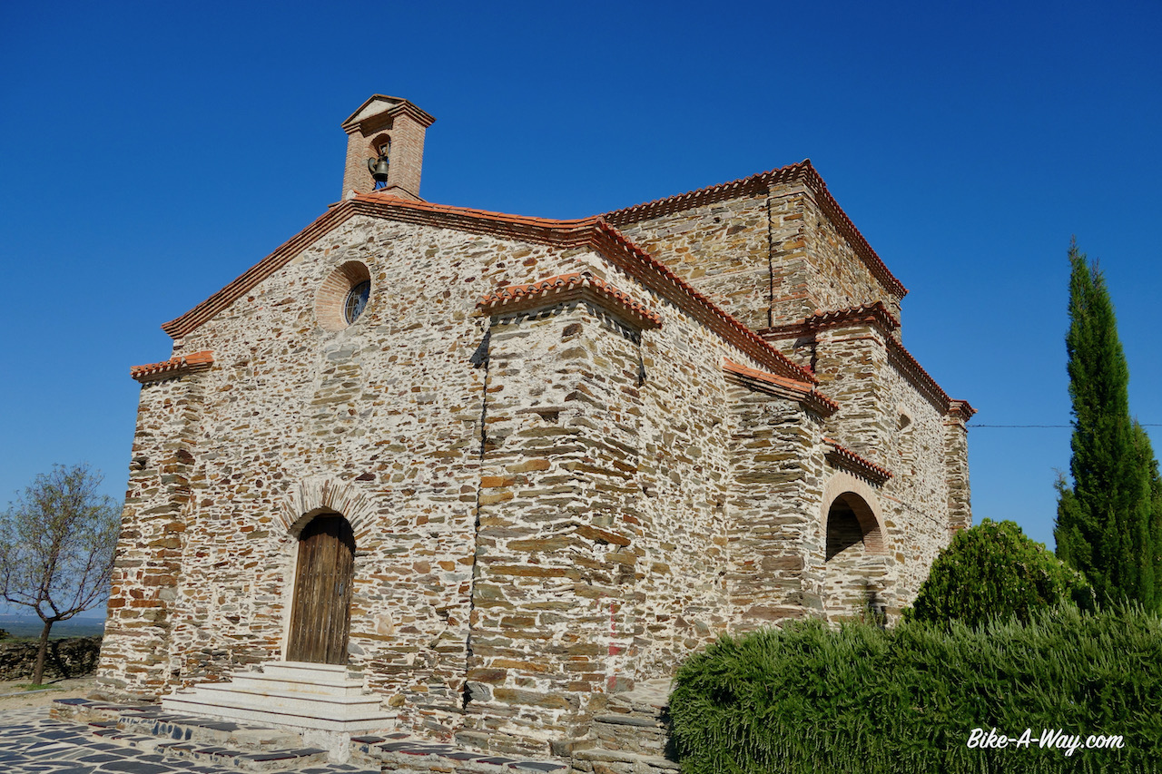
In the village Casatejada I visited the Ermita de Soledad. Definitely worth a look from both the inside and outside !

From here, after mending a front flat tyre, I took the main road to Serrejón where the water tap in the park is disconnected, but the one at the Ermita de San Antonia, more or less at the highest point in town, was still functional.
Just rolling down the hill with sixteen liter of water, on the camino to my first possible campsite.
Yeah, I remember this one.
I pitched the tent not exactly at the same place as 3,5 years ago. This time I would not break camp in the morning, so I needed something with shade during the day to avoid sauna-like temperatures in the tent.
An excellent quiet first night was followed by a surprise on day two. Suddenly a herd of about twenty five cows came near my tent. A farm must have relocated them. As big as this place is…. they wouldn’t go away too far from my tent and unlike Belgian cows, these beasts with big horns are not stopped by a simple wire or some branches around your tent. I saw them braking through bushes and knocking down small trees. They were just grazing, walking slowly forward, knocking down everything in their path. I feared a bit for my tent.
Only one of the cows had a bell around her neck.
The beast didn’t stop moving for a single second throughout the night !
I had to leave my tent at least twenty times during the night to chase them away, always leaving the tunnel tent in an awkward way, avoid sitting on my knees for even the briefest moment.
I did it once by accident and it felt like a boiling hot dagger was pushed violently into my knee.

At dawn, hunters were shooting at… I don’t know what… fifty meters away from my tent. I was a bit below them, so I think they never saw me, but let’s say it’s not the most comfortable situation when you try to relax, rest and heal.
The little village Toril has a nice information center about the Monfraguë National Park and a very helpful and friendly employee. You can also rent mtb’s there which seemed to be brand new.
I am still following my own tracks of 2017 through the park. First up is the spectacular Mirador (viewpoint) Portilla Del Tiétar. Tiétar is the river leading me into the park. It rises in the Gredos mountains, that spectacular range I had to my east when leaving Jaraiz de la Vera. It is a main tributary of the Tajo River.
The view point where I’m standing is a popular place with bird watchers because the big rock face at the opposite site of the river houses dozens of vultures and other birds. Last time I was here there were many bird watchers, most of them with lenses with which I’m sure you could spot a mouse on Mars. Now, there was only one other guy. With a modest lens 🙂
Next up is the Mirador la Higuerilla from where I have a good view to a bend in the Tiétar river.


The little climb to a higher point before Villareal de San Carlos hurt my knees a lot. It’s not good. I keep going slowly and ride short distances, but I’m full of doubt wether I can continue or not. For now, I have no choice. Can’t stop here.
I roll down to more interesting spots like the Mirador del Puente Cardinal, an old bridge which I crossed three years ago but seems to be closed now. On leaving the park, a last spectacular viewpoint, Mirador Salto Del Gitano awaits me.


I pitch my tent just beyond Torrejon El Rubbio. From this village it would only be 50 kilometer to Caceres, the capital of Extremadura where I could find decent medical facilities to get my knees checked. But lets first wait and see what the night does.


It felt slightly better in the morning so I decided to try and go on. A bit of a boring asphalt road all the way to Trujillo. This is a little gem of a town where I spend the afternoon having a look at the historical centre and pushing the bike up to the castle. Really smart in this condition.


From Trujillo you can see the lonely rock Risco de San Gregorio already south of town. Being sick of the asphalt, I check and find an off-road possibility over a track (Canada Real Del Puerto de Miravete) going south and skirting the Risco de San Gregorio (838 m asl). Much more enjoyable riding again.


From Zorita I ride for twenty kilometer on the main road towards Logrosan. A beautiful mountain range to my left, the Sierra de Las Villuercas, part of the Montes de Toledo mountain range. The reason of coming to Logrosan is the via verde that goes all the way to Villanueva de la Serena 56 km from here.
Unlike other via verdes that seems heavily used in late afternoon by the local towns folk for running or making small bike trips, I’m all alone here.


A lot of the land next to the track is fenced off for cattle farming, but after a while there’s some open land and I find a nice spot for the night.
The second half of the via verde is often totally unmaintained. Luckily I bought two new slime tubes in the bike shop in Trujillo, or I would have flats without a doubt.

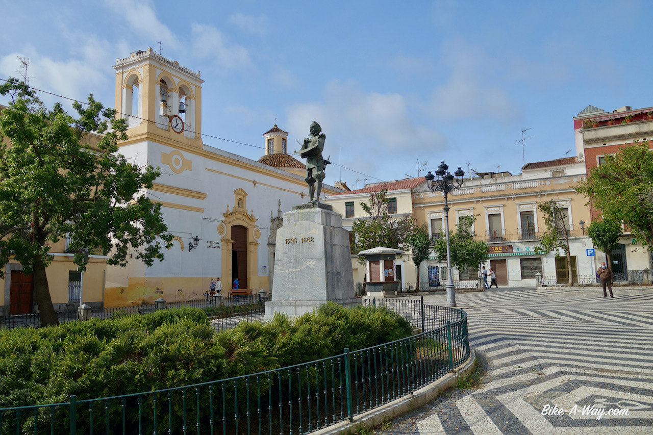
I didn’t see anything interesting in Don Benito and rode on towards Medellín where I took a nice hotel for the night so I could gives the knees a long, long hot shower. Medellin turned out to be a attractive little town. The Roman theatre and the castle are really worth a visit. On the town square is a statue of its most famous resident, Hernan Cortes, the man who conquered Mexico. He was born here in Medellín in 1485 and become governor of the former Aztec territories.


I left the town following dirt roads always close to the Guadiana. I passed rather quickly through Mérida, a town I visited extensively in 2017. It is a super nice town that deserves a second thorough visit, but that’s for later. I plan to ride on to Badajoz, then up to Cáceres where I plan to pick up the Via de la Plate back down to Merida and further down to Andalusia.
So, first direction Badajoz, still along the Guadiana River. With winter getting nearer, the farmers are burning down their fields. It’s terrible. I cycle in a big haze which makes it hard to breath. I thought this slash and burn agriculture was something they did in some developing countries, but it’s happening here as well. Hard to believe, in 2020, with all the air pollution we’re trying to limit.

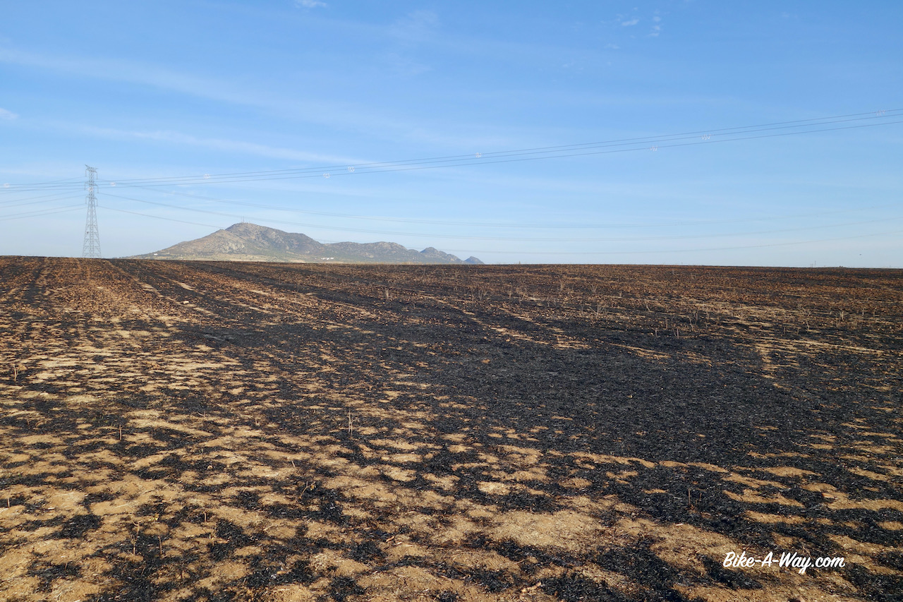


Above scene is from the banks of the Guadiana River. I don’t know which large group of fools had taken residence here and left it like this. They deserve 40 years in prison.
Badajoz, close to the Portugese border, was in the year 1812 the scene of one of the bloodiest sieges of the Napoleonic Wars. Again, we had to thank the Duke of Wellington for this. The allied Anglo-Portugese army consisted of some 27.000 troops and they outnumbered the French garrison in the city by around five to one.
Although the Brits won, it was a costly victory. Some 4.800 allied soldiers were killed and around 1.500 French died.
With success came mass looting and disorder and the Brits turned to drink and reprisals. The sacking of Badajoz has been noted by many historians as a particularly atrocious conduct committed by the British Army: many homes were broken into, property vandalized or stolen, Spanish civilians of all ages and backgrounds raped and killed.
Wellington waited fifteen to eighteen hours to issue an order that the sack of Badajoz should cease. It took eventually seventy two hours before order was restored and another 250 up to 300 Spanish civilians were killed. Not a good guy, this Wellington.
The knees were hurting again, so I rented an apartment for a few days in Badajoz. I went to the hospital, hoping for a better diagnosis. They made me wait between people who were there for covid tests. When, finally after many hours it was my turn, the doctor looked from afar to my knee, prescribed more pain killers and more cream. It’s clear my problem is not going to be solved like this.
In the local Decathlon store, I bought a camping chair so I wouldn’t have to sit on my knees too much when camping. I assume the pain I have is not a result of cycling but from all this crawling around on my knees and sitting cross-legged in the morning and evenings while eating.

Leaving Badajoz in the direction of Cáceres, I followed the Camino Natural Del Coredor Cáceres – Badajoz. The first section was often too muddy which forced me to the asphalt. After Villar Del Rey, the land became a bit hillier, and the track, called ‘Ruta Cañada Real Sancha Brava’ here was mostly perfectly rideable and very enjoyable. But as much as I enjoyed the scenery, the pain in my knees that came back instantly when I had to climb worried me.


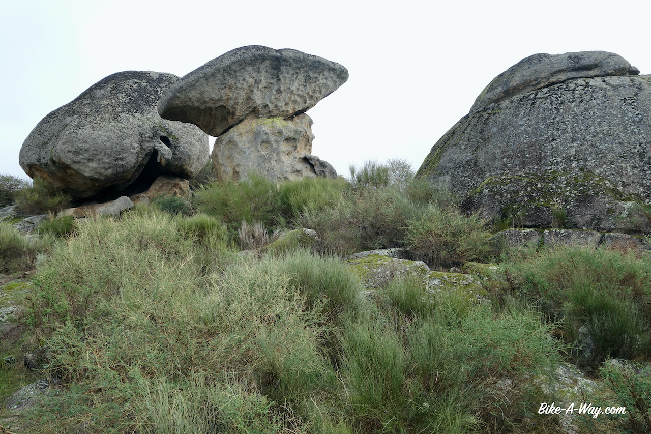
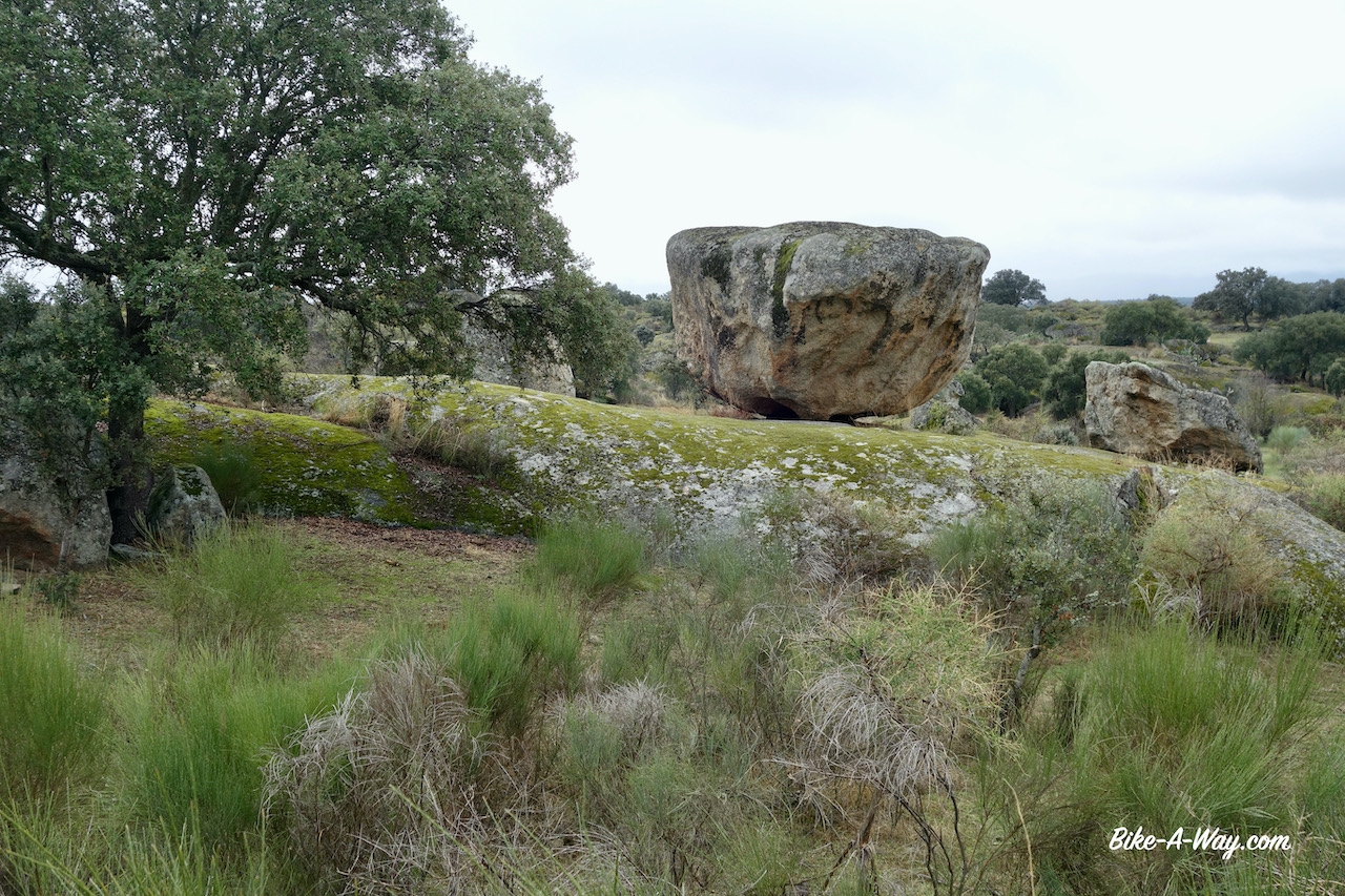
Just before entering the village Malpartida de Cáceres, I visited the Los Barruecos nature park with lots of bizar rock formation. I wandered around a bit and wondered how many storks would be here in spring. Their huge nests are everywhere.


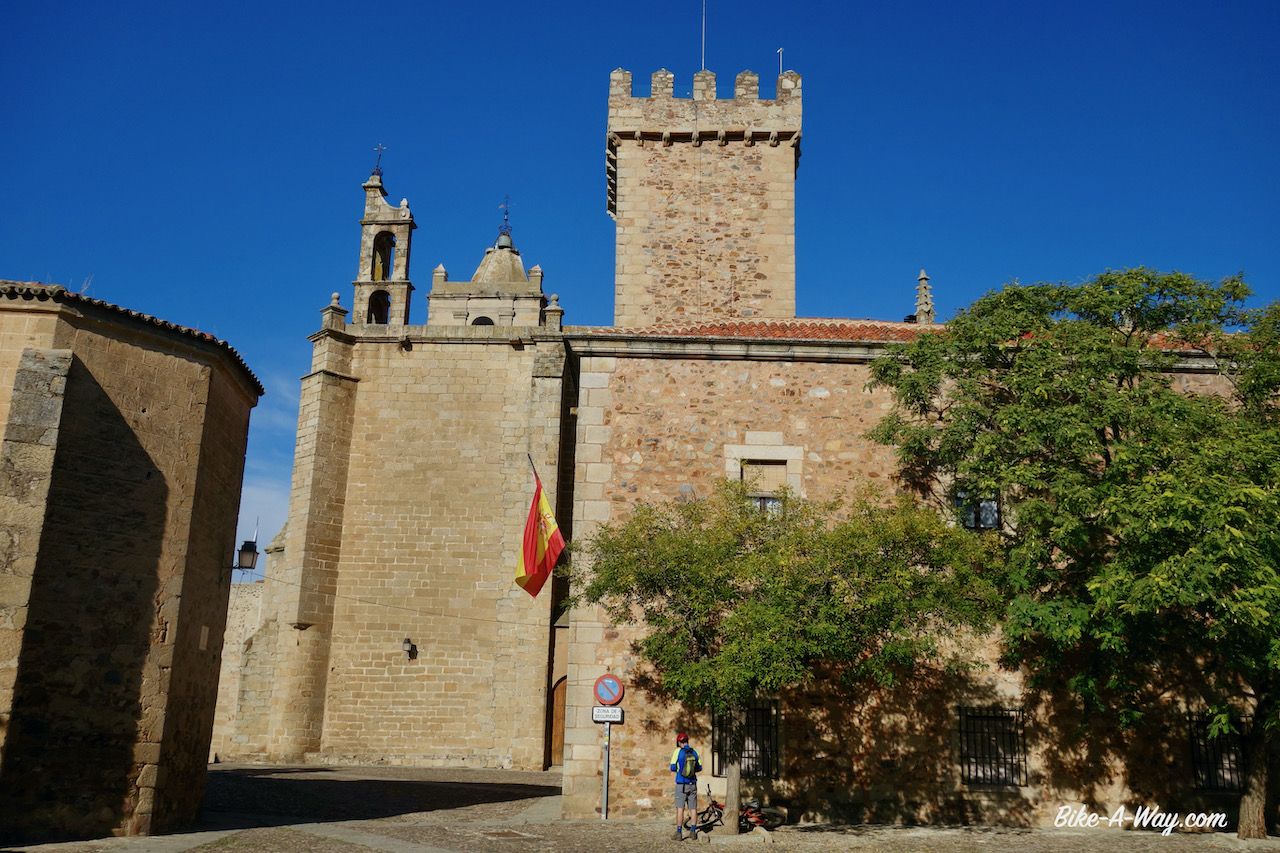
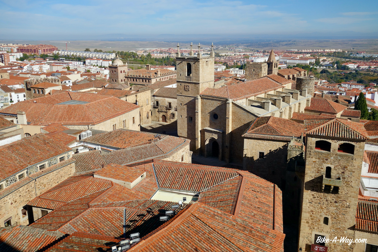
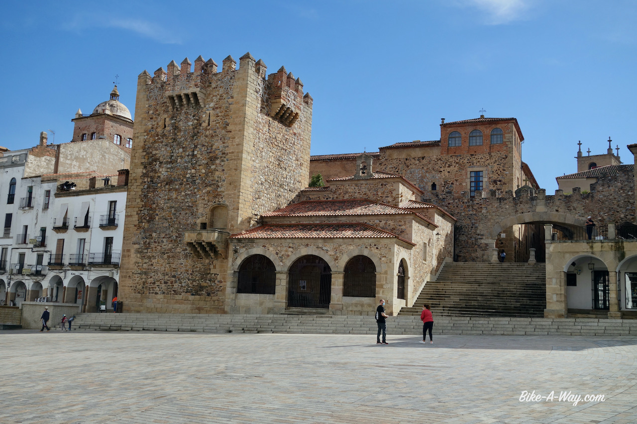
Back in Cáceres I rented again an apartment, in the old town at the Plaza de Santa Clara. Cáceres, capital of the Extremadura region is a very interesting historical town, declared a World Heritage City by Unesco in 1986. I think that at the time I was there, Extremadura was also the region with still the most relaxed covid rules on the Spanish mainland, due to the reasonable ok figures. The terraces of bars and restaurants were still open. Not that I used them. I’m too careful for that, but at least it still created some atmosphere in the town.


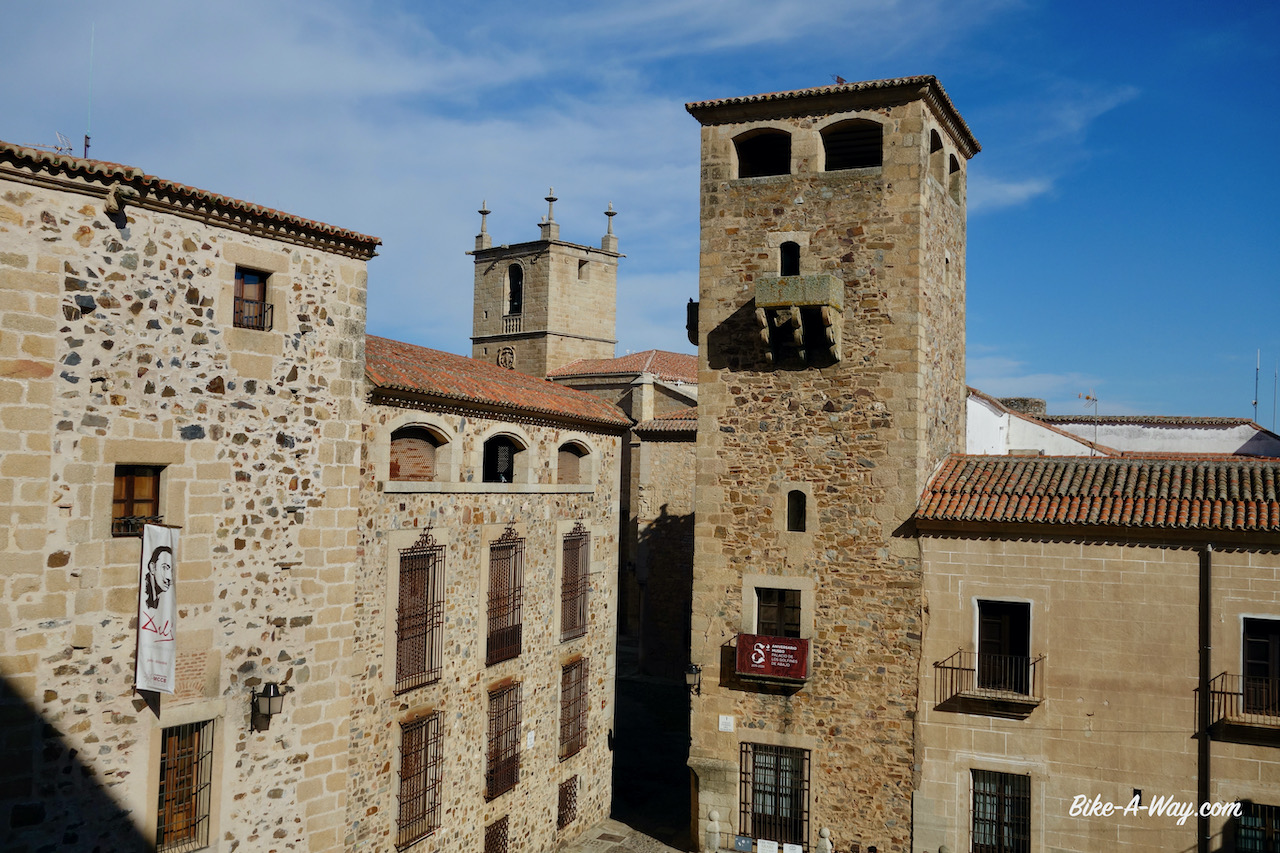


After taking more rest, the acute pain in the knees was gone, but walking up the hill in the old town center, I felt it coming back with the slightest effort I made. With deep regret, I decided to return home and hope to find a good knee specialist to fix things. So instead of the planned winter on the Canary Islands, where I intended to stay 7 – 10 days on each island, it’s back to dreary Belgium.
Hope to resume cycling in spring.

Some figures about this trip from Belgium to Spain:
Total distance: 5.142,17 km
Total altimeter: 62.162 meter
Highest maximum speed: 78,96 km/hr
Most altimeter in one day: 1.799 m (Asturia, Spain)
Highest point: 1.955 m (Montes de Leon)
Longest day in the saddle: 7 hrs 41 minutes (France)
Below, the map from my route.
My gpx track can be downloaded from Wikiloc.
