Route: Col d’Ares – Céret – Thuir – Gorges de Galamus – Rennes-les-Bains – Saint-Girons – Tarbes – Pau – Orthez – Donapaleu – Lekunberri -‘Chalet de Pedro’ track
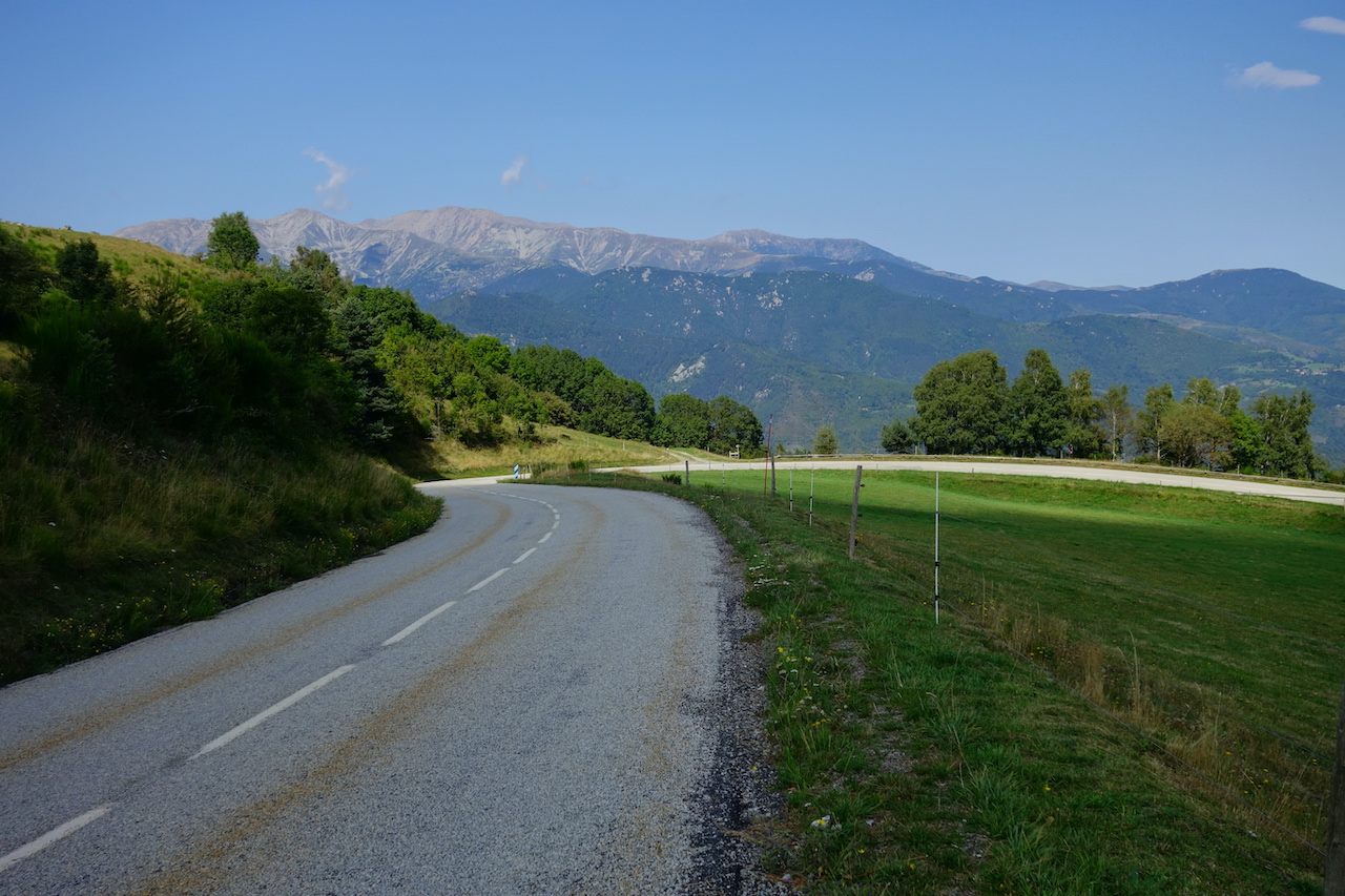
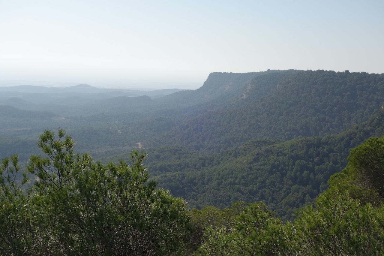
From the top of the Col d’Ares, I had marvelous views towards the Massif du Canigou. The downhill is a beautiful one, but as I’m descending into the valley, village after village there’s more traffic and immediately you’ll notice the different attitude of French drivers compared to the (much, much better) Spanish drivers. Luckily, there’s another greenway awaiting, the Ancienne Voie Verte D’Arles à Eine.
Cities like Bordeaux are too big for me.Too stressful.Too hard to get in and out, even when it’s on bike paths, which are anyway full of pedestrians, parked cars, people crossing, stopping or doing whatever, without regards to anyone else.Leaving Bordeaux, I made a little break in the ‘Parc de Mussonville’, just to catch my breath.
The first highlight I had in mind to visit south of Bordeaux was le Château de la Brède (Brède Castle) were philosopher Montesquieu was born in 1689. The construction of the castle itself started in 1306.In 2004, countess Jacqueline de Chabannes died.She was a descendant of Denise, Montesquieu’s daughter.She has placed the castle in a foundation named after her and determined that it should be opened to the public.
I arrived ten minutes before closing time.Too late to visit the castle.With the intention to camp nearby and visit the place the day after, I left La Brève over the ‘Hosten – La Brède cycle path’.
As I couldn’t visit Montesquieu’s castle, I made a picture of a picture of the castle.
I realized that, after standing next to Leonardo Da Vinci’s bed earlier this trip, I had literally just followed in Montesqieu’s footsteps. He probably didn’t ride his bicycle to the village, because it hadn’t been invented yet. He did it on his horse. You wonder why such a great philosopher doesn’t think to himself “I want to go to the village on my bike”. But no, I’d rather philosophize about politics all the time… With all that philosophizing I suddenly find myself a long way outside La Brède before I find a suitable place for the night.
I was too far from the castle to return the next day, and so this is again one of those place left for ‘next time’.If you’ve got time, I can recommend it, cause it looked good from the entrance, where you can safely park your bike.
At the next village, Hostens, I joined the ‘Mios – Bazas cycle path’.In 2018 I cycled here as well, when cycling from Barcelona via Bretagne to Belgium.A camping spot for the night was found in the heathland near the village Pissos.
The sandy track, directly towards the village Escoursol was impassable on a loaded bike, so I went via the main road.
The old railway station of Hostens.
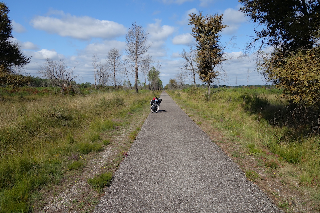
Along the ‘Mios – Bazas cycle path’.
Idyllic camping spot near Pissos
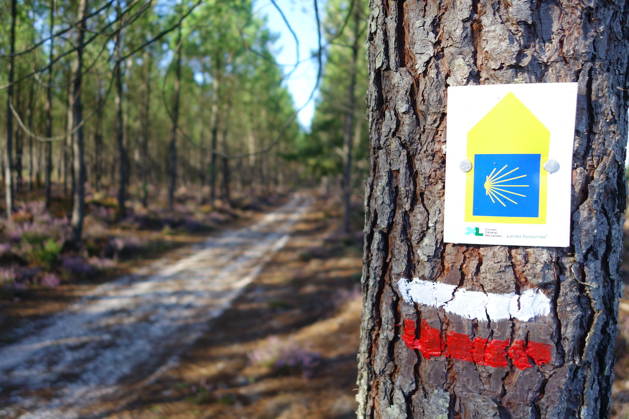
Crossing a Camino de Santiago Route again.
Colourful Escoursol.
As Escoursol is on the Santiago Route, a Chapel for Maria cannot be missed. With a bench for a snack.
Next day, I,arrived in Dax, the second biggest town in ‘The Landes’ after the capital Mont-De-Marsan.I took a rest day here to do laundry, shopping, recharge batteries and eat Thai food.
I really enjoyed the bike path along the river Adour, south of Dax.
Notre Dame in Dax
The excellent path along the river Adour.
Along the Adour River.
At Ahurti / Urt (Basque / French names) I left the river behind and started my climb into the Pyrenees.Basque Country …. Pyrenees….. equals clouds.The landscapes are impressive, but you need to be lucky with the weather.I was half lucky, which is good enough.
Basque country also equals steep climbing, especially if you’re looking for the smallest roads.I cross roads and tracks where I rode in 2014 and 2020 already.I’ve got to mark them beforehand in the gps, cause I wouldn’t notice otherwise, but it’s always nice arriving at such a place and see if you remember it from years ago.Mostly not.
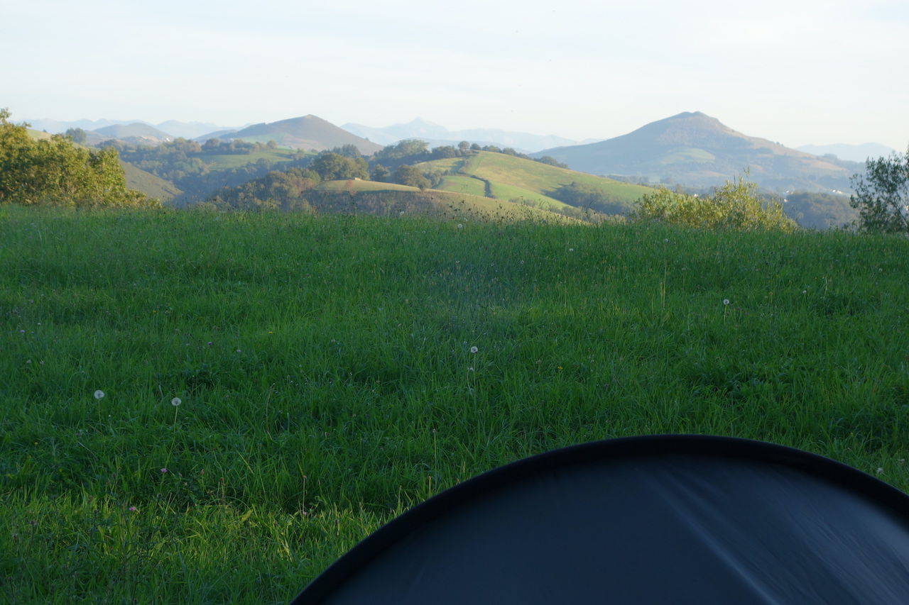
Getting very near to the Pyrenees now. Camping in a field in the French Basque Country.
Typical Basque building style.
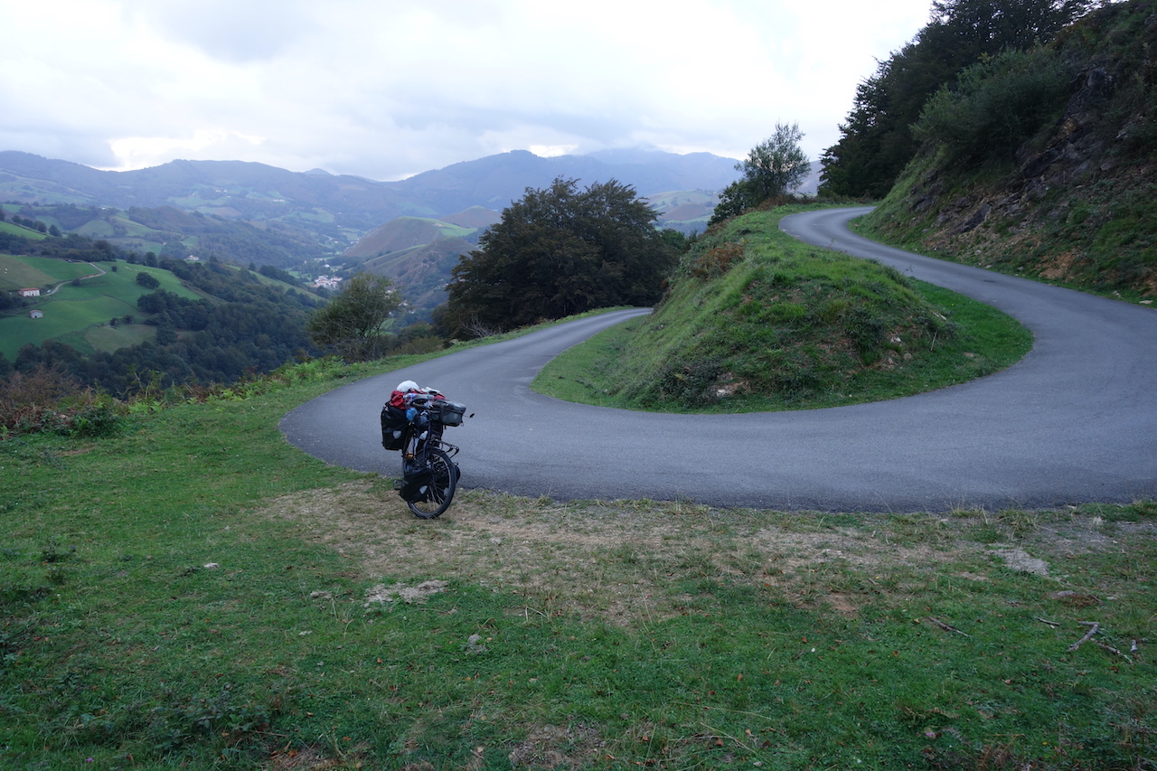
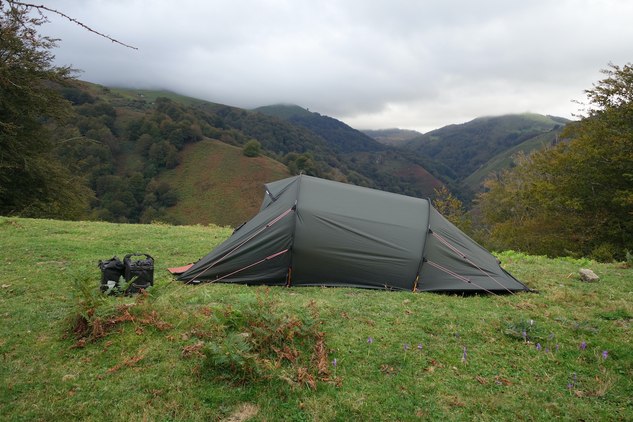
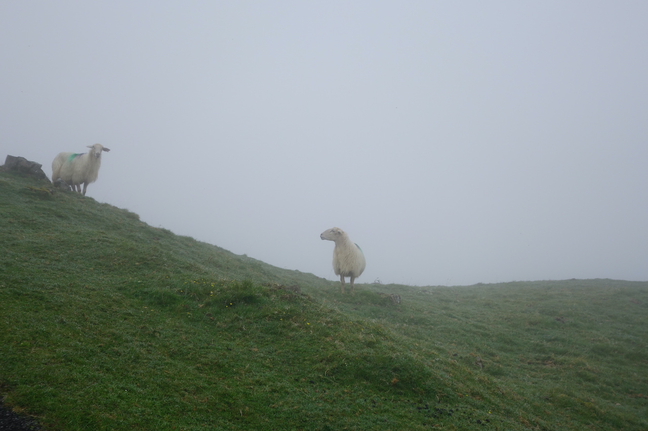
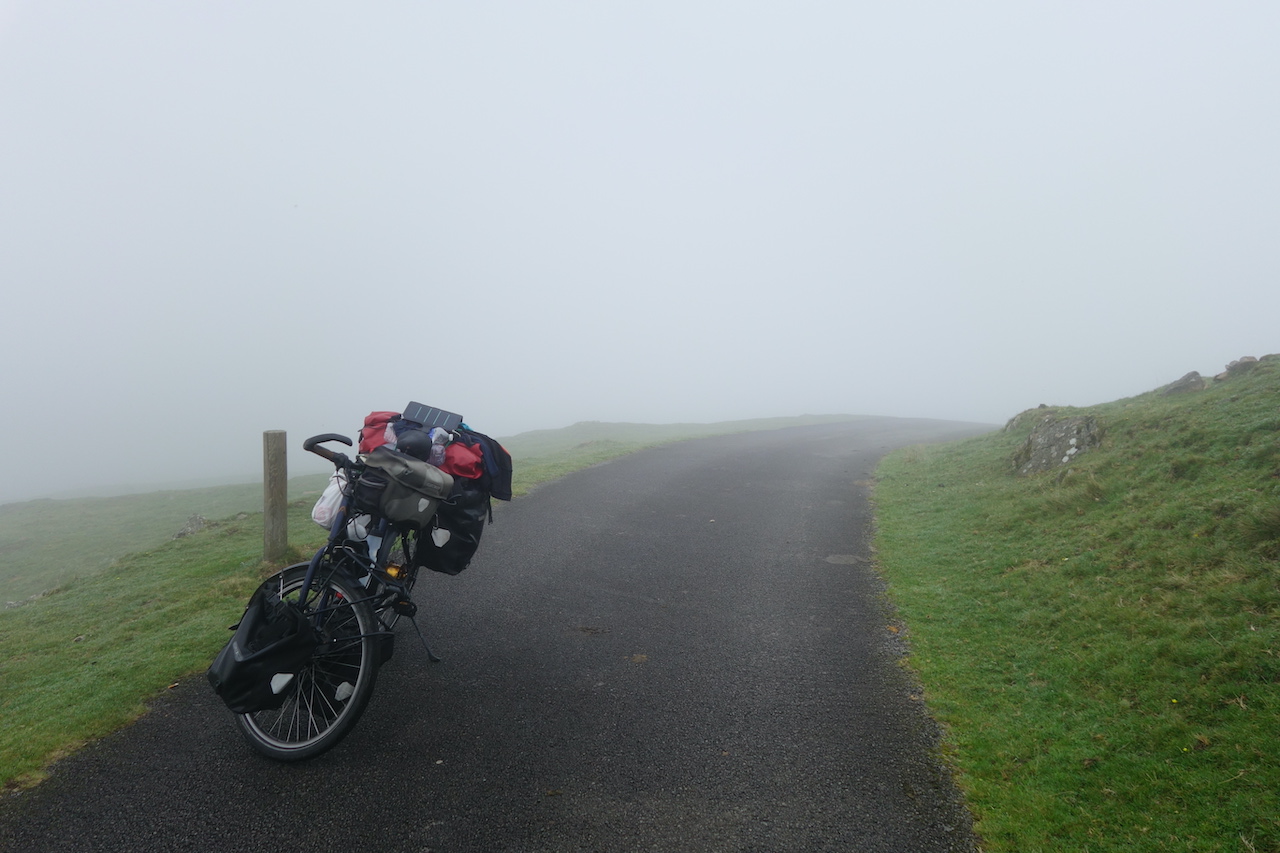
After Banka, the climbing goes very, very steep towards the French / Spanish border.Beyond Urepel, I have to push several times.Cycling is not an option anymore.I’m on a paved track, only one car passed me, I got attacked by two dogs, but otherwise it was magnificent.Steep hills with sheep, free roaming horses, mist, a mountain top that shows itself for a few seconds before hiding in the clouds again.I slept one last night on French territory a kilometer before the border.
That green !
Steep up, up, up.
The evening was cloudy but still ok.
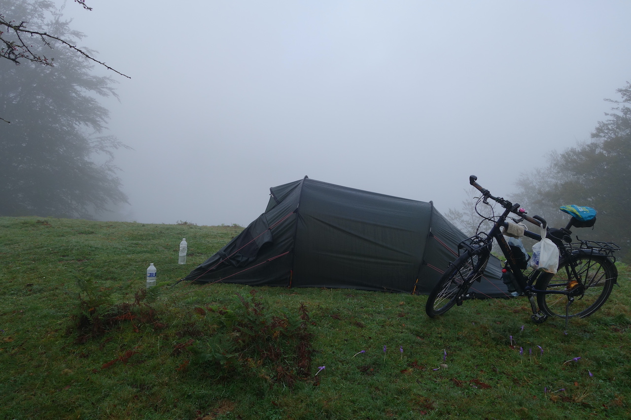
Next morning, nothing was to be seen due to the mist, which always seems to be hanging here. A soaking wet tent had to be packed.
Next morning I worked my way up, through wisps of fog to the top.Do I see some spots of blue in the sky over there ?Why, yes.I linger a bit at the top, marveling the landscape, the solitude, the mixture of mist and sun rays trying to clear through.Total silence.
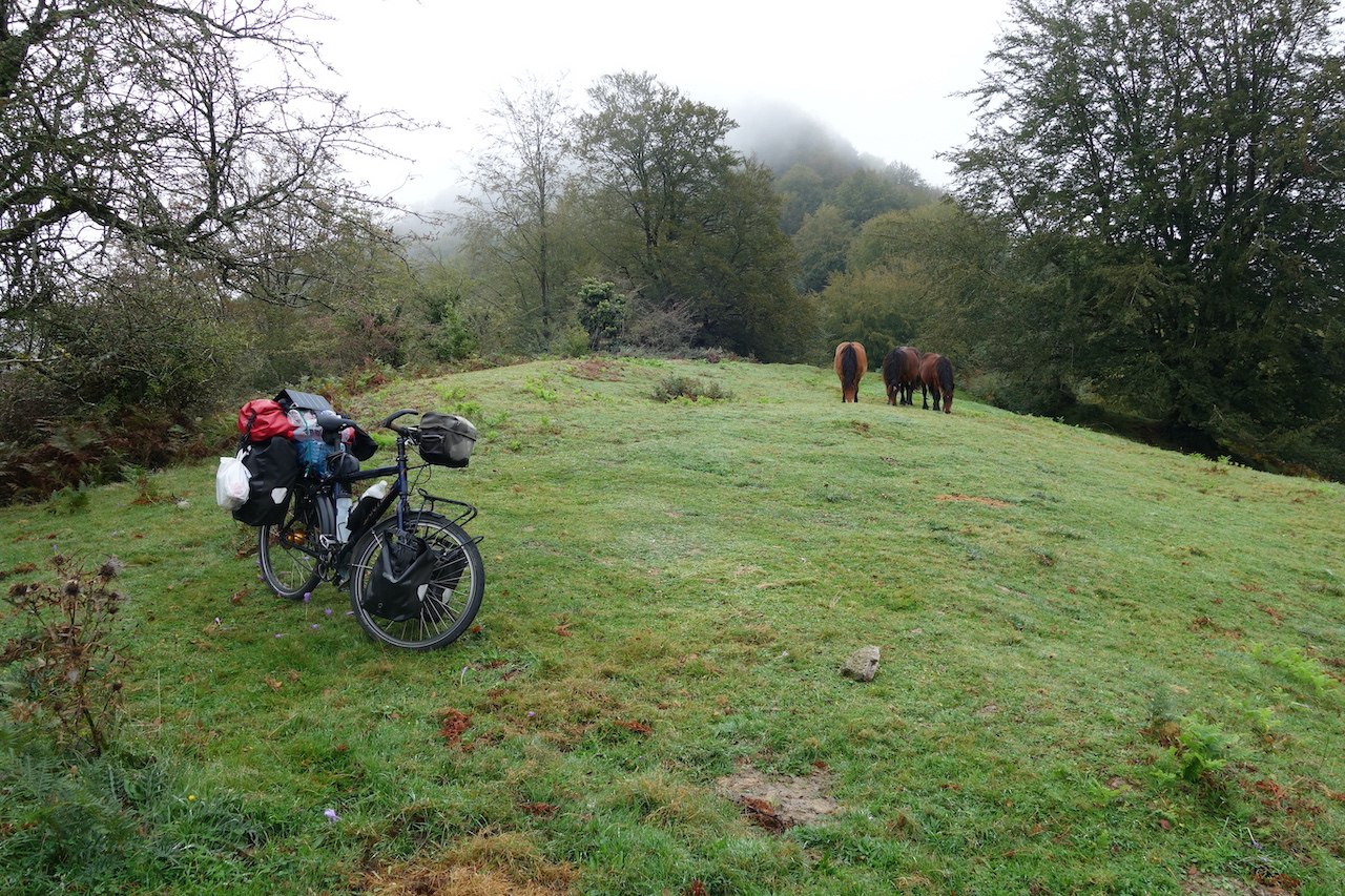
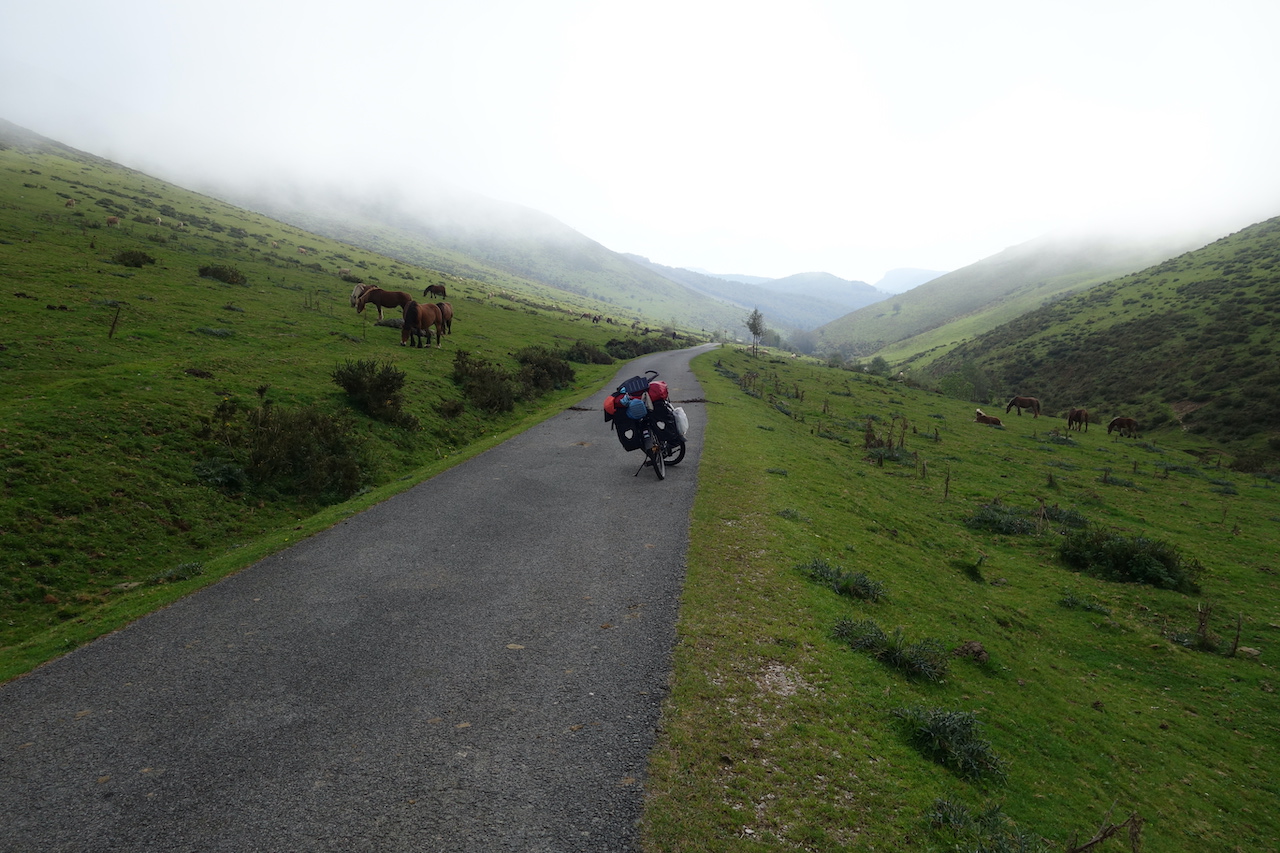
Spain doesn’t disappoint.Under blue skies I descend via the narrow asphalt track into the ‘Barranco Sorogain. Lots of free roaming cows and horses.
Packing up with some good company nearby.
Isn’t this a brilliant Pyrenees crossing ? No traffic, not a soul in sight.
Where is Spain ? I want sunshine !
They seemed surprised.
Still on the French side of the mountains.
But getting nearer to to top, and the border.
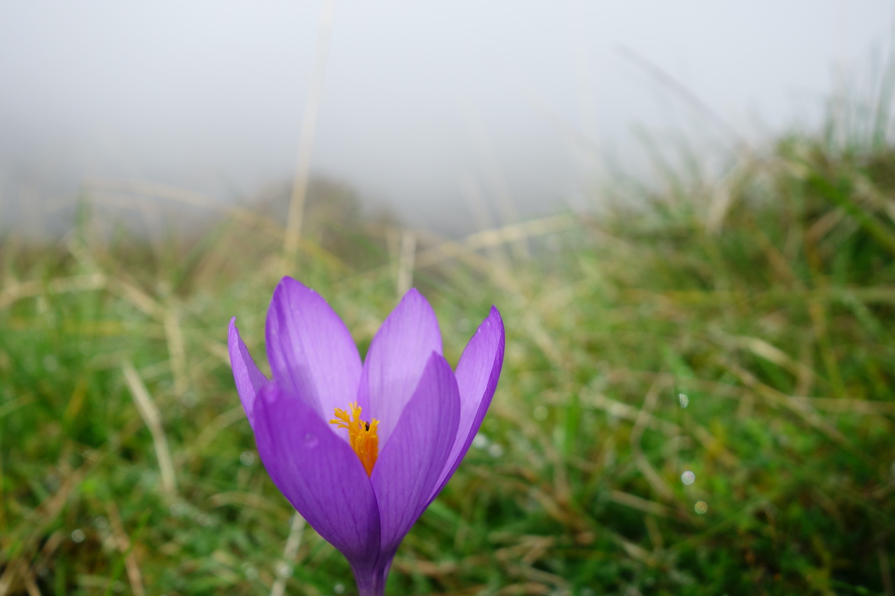
‘Crocus Nudiflorus’ or ‘Pyrenean autumn crocus’, very common here.
There ! There where the road goes to the right, there’s the French / Spanish border. I will go straight. To the light !
You see that little bit of blue ? 🙂
The clouds are still fighting back a bit, but soon, the sun will win.
Very beautiful and smooth asphalt track through the ‘Barranco Sorogain’.
Down, at the junction with the N-135 road, I join the ‘Camino Frances’, the most popular Camino de Santiago Route, but only for a very short while.This time of year, no pilgrims.Bizkarreta-Gerendiain is the first village on Spanish territory.A very basic shop here in case you need to resupply.Not open too often, I think.I now follow the N-135 for a few kilometer.Traffic is light.
Just before Erro, I take a left turn onto the Na-2330 road, which follows the River Erro.
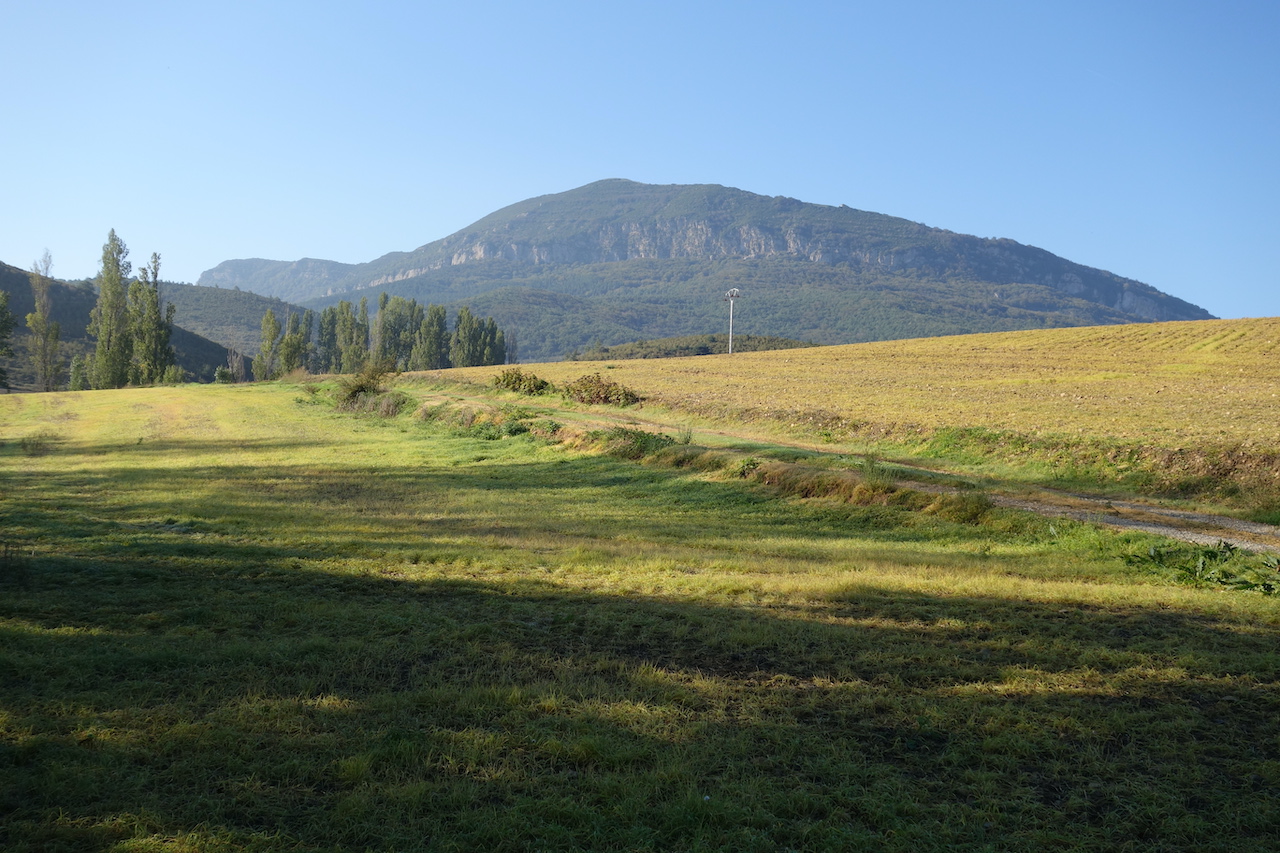
A fantastic road that leads me to Urroz-Villa.I climb into town to refill on water, then follow a dirt track via the Mendinueta Ruins to the next village, Reta.Lots of agriculture here.The farmers are out.It’s hard to find a spot to camp, but in the end, you always do.
The beautiful Na-2330 road which goes along the River Erro.
Still on the Na-2330.
Choices…. I went right.
Not the easiest country to finds a camping spot for the night.
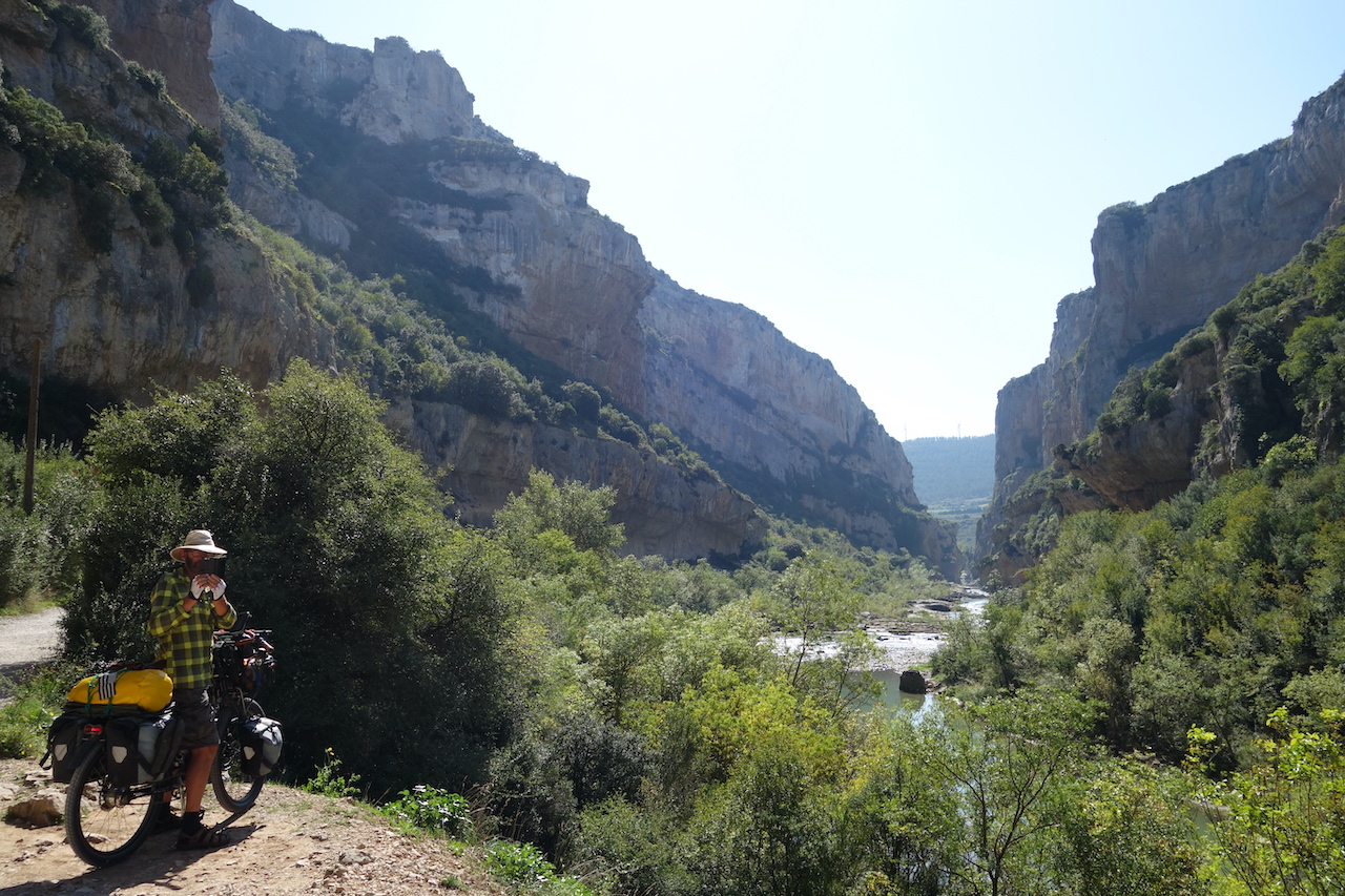
Lumbier is a small town where I take lunch at a bar on the central square.A few French cyclists arrive.Without me knowing in advance, I planned my route via ‘Foz de Lumbier’ (Lumbier Canyon) just south of town.After lunch and grocery shopping, I head down with one of the French cyclists.He is actually heading west to Santiago, but will just go up and down the canyon to have a look.It’s a nice thing if you are here, but not necessary make a detour of hundreds of kilometer for it.
Just before Lumbier
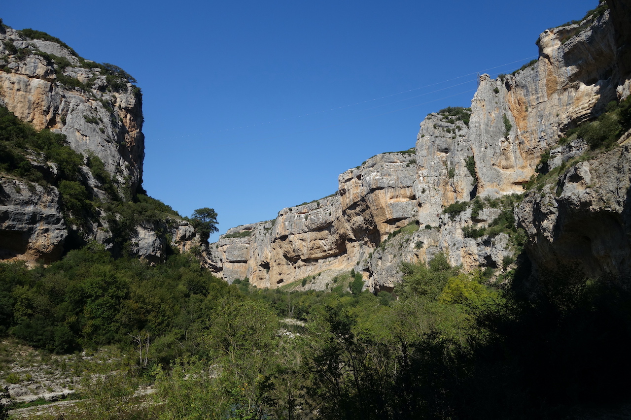
At ‘Foz de Lumbier’ (Lumbier Canyon).
‘Foz de Lumbier’.
My French cycling colleague.
The canyon is carved out of the mountains by the Rio Irati.Just south of the canyon is the confluence with the Rio Aragón, which gives its name to one of the seventeen Spanish Autonomous Regions.
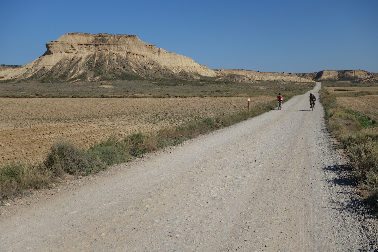
I keep following the river via a dirt track all the way down to Carcastillo.With the exception of two days, it has been exactly seven years since I arrived in this same place.That is no coincidence, since south of this little town, you ‘ll find the ‘Bardenas Reales’, a desert like area.I have to wait a bit, because the Spanish army is still doing some exercises, but in the afternoon, I can go through.
Make sure you have plenty of water, because it’s hot and dry, and you won’t find a drop here.At first, I retrace the exact same route as seven years ago, as it brings you next to the most impressive hills, but after a while I take a more left turn.The track goes up, steep and steeper.I have to dismount and push the bike.A tough job in this heath and with all the water and food on board. Just outside the borders of the Natural Park(and also leaving Navarra Region and entering Aragón), I find a good place to camp.It’s been a hard, but satisfying day.
Bridge over the Rio Aragón, which spring is in Aragón, but is running through Navarra here.
The dirt track along Rio Aragón (invisible here). The town on the hill in the background is Gallipienzo, a former defence post of the old Kingdom of Navarra.
‘Monumento Al Pastor’, at the northern entrance of Bardenas Reales.
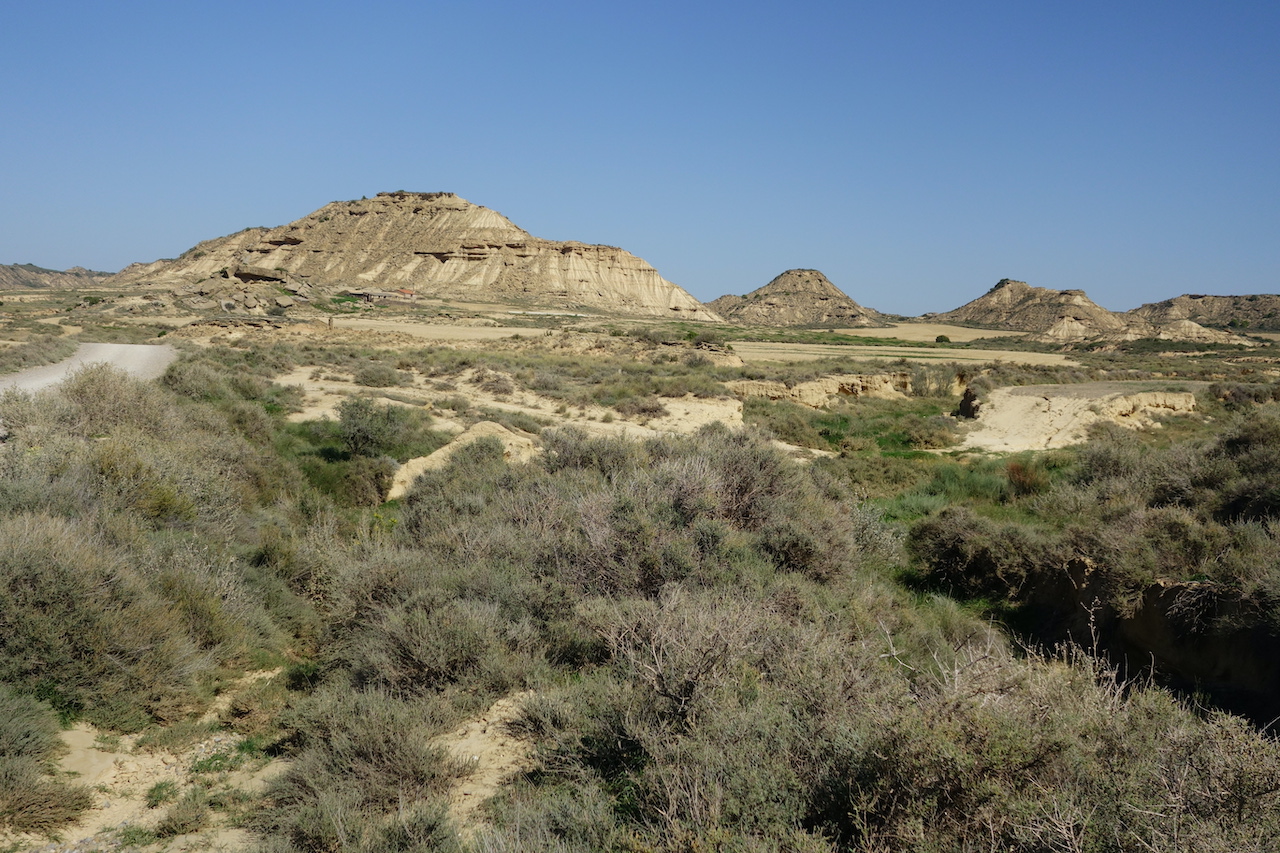
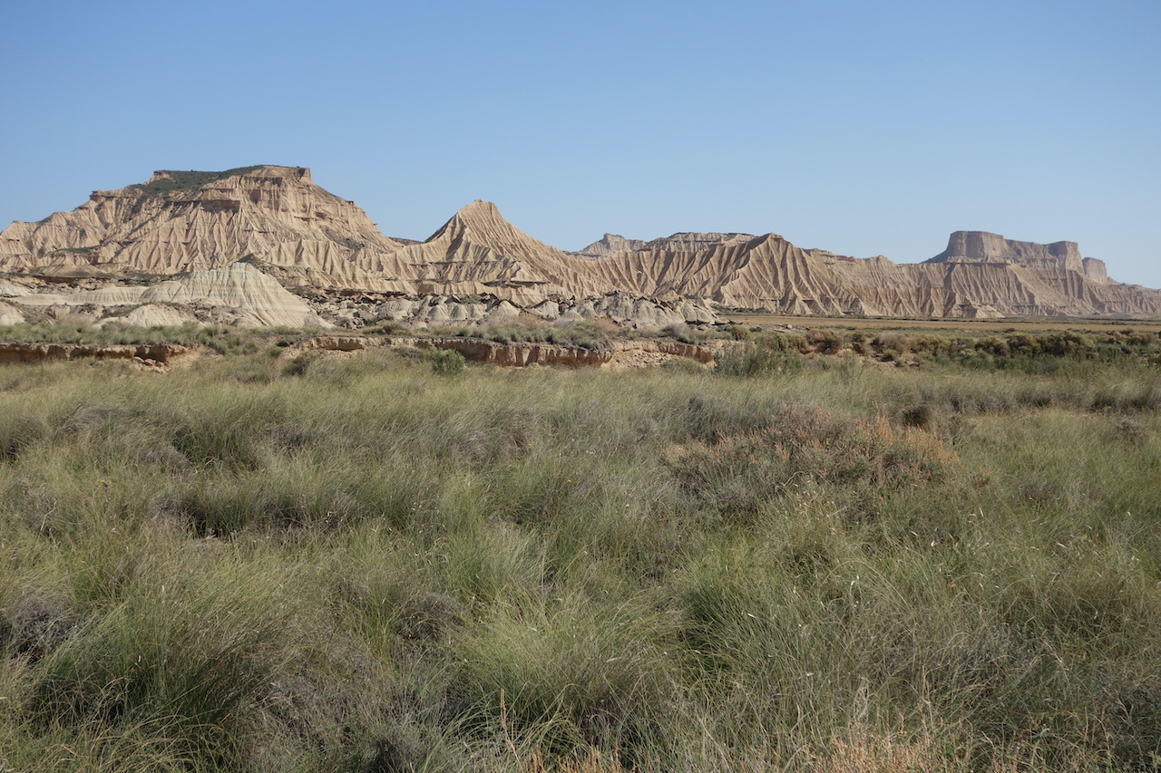
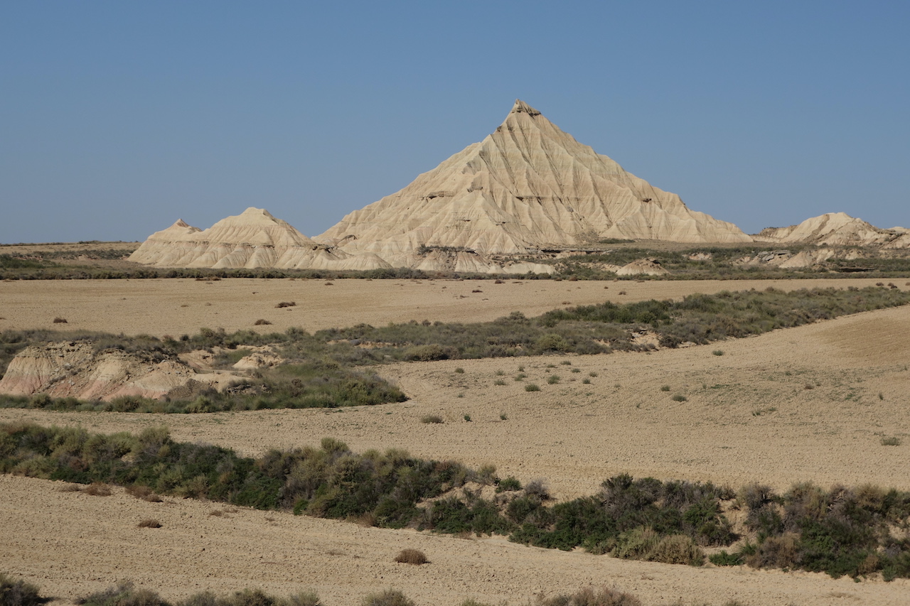
A view on the desert like landscape of ‘Bardenas Reales’. In winter thousands of sheep come down from the Pyrenees to graze here.
Bardenas Reales
Bardenas Reales
Bardenas Reales
Bardenas Reales
There are several dirt roads through the area. Unfortunately, motorized vehicles are allowed, but if you avoid weekends and holidays, there aren’t many.
Bardenas RealesBardenas Reales
Here you start climbing out of the plains towards ‘Cabezo de la Loma de la Madera (434 m).
Just outside the natural parque, on the eastern edge, where I find a camping spot for the night.
Looking towards ‘Punta La Negra’ 650 m asl.
Loads of vultures circling above me at Punta La Negra.
More Bardenas Reales.
‘Iglesia Mudéjar de Santa Maria'(the Church of Santa Maria) at Tauste. Late 13th – early 14th century. I’m not sure whether the red carpet was for my visit.
Next morning, I make a little side trip and ride up the hill towards Santuario de Sancho Abarca before riding into the small town of Tauste, Aragón region.
Earlier this autumn I cycled from Belgium to Spain.This is part two of that trip.
That next morning, leaving the Orléan forest, I rode into Châteauneuf-Sur-Loire, at the border of the mother of all rivers in France.At home, I planned to just cross the Loire river here, and ride through the forests south of it towards the castle of Chambord.But, once standing at the borders, I thought ‘ Ah, why not, everybody seems to want to ride along the Loire, so now I’m here, why not give it a try, maybe it ‘s worth it’.So along the river I went.
Big mistake !
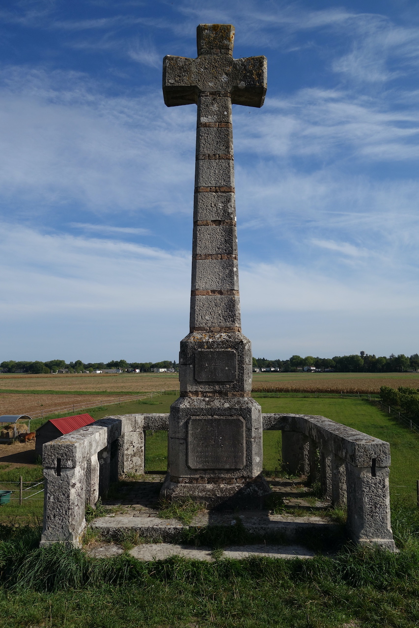
La Croix de Micy, erected in 1858 with stones from the Abbey of Micy (6th century)
I’m finally ready for another biggish trip, starting from Couvin, in the south of Belgium and, all going well, ending in the north of Alicante province, Spain.
I’ve put a lot of energy in creating my route.So much that I ended up with five routes between these two destinations.Enough to look forward to in the future.
I’ll start with what I think will be the one but easiest route Ihave put together.Easy, cause I want my knees to make it to the end.
Excited to be on the road again. Here, in the train towards my starting point Couvin, a small village at the Begian – French border.
Starting from the train station in Couvin, I plan a very short first day and hope to find a decent camping spot early on.The good reason for this short day is a first interesting visit, In Brûly-de-Pesche, just south of Couvin.There is a bunker (Wolfsschlucht) in which Adolf Hitler and his high command resided from 6 till 28 June 1940 to prepare his battle against France and where the conditions for the French armistice were prepared.
The bunker on the terrain occupied by Hitler and his high command in June 1940.
Church in Brûly-de-Pesche in which the translation of the armastice in French was done the night of 20 to 21 June 1940.
Next day, after one last portion of Belgian fries, I hop over the border into France.