Route: Bordeaux – Dax – Ahurti – Banka – Erro (Esp.) – Urroz-Villa – Lumbier – Carcastillo – Tauste
Cities like Bordeaux are too big for me. Too stressful. Too hard to get in and out, even when it’s on bike paths, which are anyway full of pedestrians, parked cars, people crossing, stopping or doing whatever, without regards to anyone else. Leaving Bordeaux, I made a little break in the ‘Parc de Mussonville’, just to catch my breath.
The first highlight I had in mind to visit south of Bordeaux was le Château de la Brède (Brède Castle) were philosopher Montesquieu was born in 1689. The construction of the castle itself started in 1306. In 2004, countess Jacqueline de Chabannes died. She was a descendant of Denise, Montesquieu’s daughter. She has placed the castle in a foundation named after her and determined that it should be opened to the public.
I arrived ten minutes before closing time. Too late to visit the castle. With the intention to camp nearby and visit the place the day after, I left La Brève over the ‘Hosten – La Brède cycle path’.

I realized that, after standing next to Leonardo Da Vinci’s bed earlier this trip, I had literally just followed in Montesqieu’s footsteps. He probably didn’t ride his bicycle to the village, because it hadn’t been invented yet. He did it on his horse. You wonder why such a great philosopher doesn’t think to himself “I want to go to the village on my bike”. But no, I’d rather philosophize about politics all the time… With all that philosophizing I suddenly find myself a long way outside La Brède before I find a suitable place for the night.

I was too far from the castle to return the next day, and so this is again one of those place left for ‘next time’. If you’ve got time, I can recommend it, cause it looked good from the entrance, where you can safely park your bike.
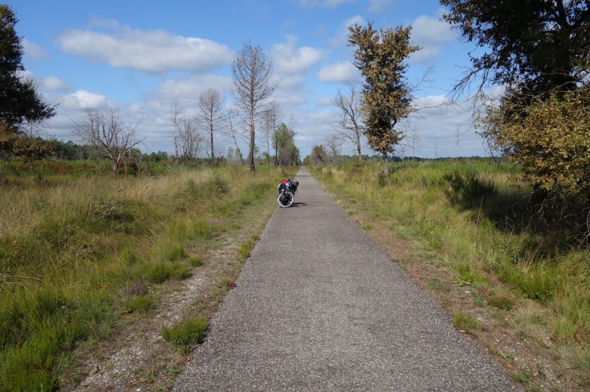
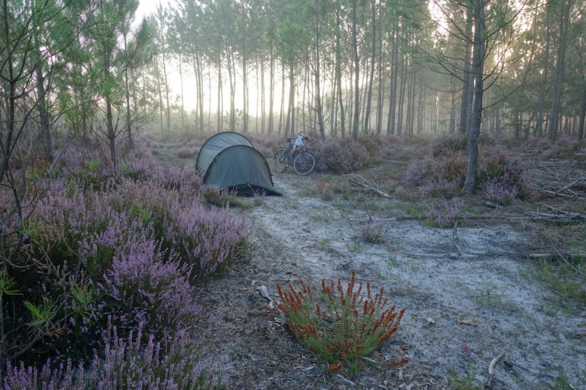
At the next village, Hostens, I joined the ‘Mios – Bazas cycle path’. In 2018 I cycled here as well, when cycling from Barcelona via Bretagne to Belgium. A camping spot for the night was found in the heathland near the village Pissos.
The sandy track, directly towards the village Escoursol was impassable on a loaded bike, so I went via the main road.


Next day, I,arrived in Dax, the second biggest town in ‘The Landes’ after the capital Mont-De-Marsan. I took a rest day here to do laundry, shopping, recharge batteries and eat Thai food.
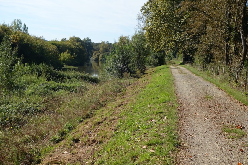
I really enjoyed the bike path along the river Adour, south of Dax.


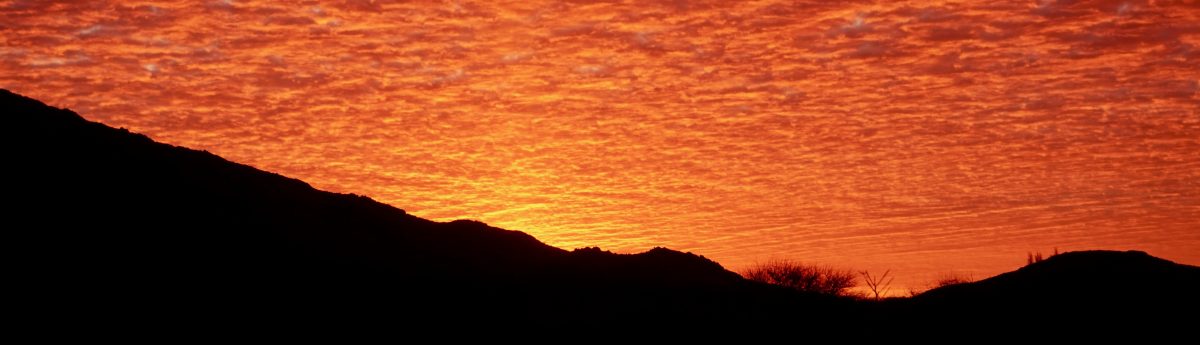
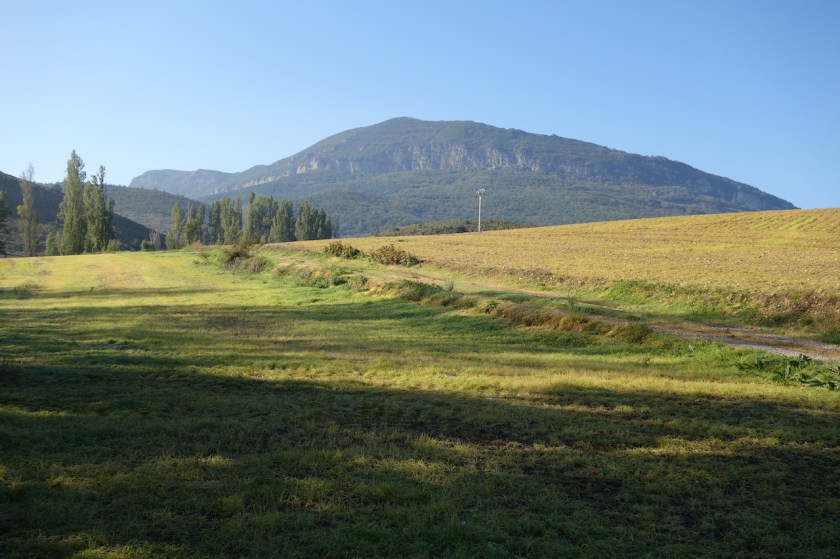
At Ahurti / Urt (Basque / French names) I left the river behind and started my climb into the Pyrenees. Basque Country …. Pyrenees….. equals clouds. The landscapes are impressive, but you need to be lucky with the weather. I was half lucky, which is good enough.
Basque country also equals steep climbing, especially if you’re looking for the smallest roads. I cross roads and tracks where I rode in 2014 and 2020 already. I’ve got to mark them beforehand in the gps, cause I wouldn’t notice otherwise, but it’s always nice arriving at such a place and see if you remember it from years ago. Mostly not.
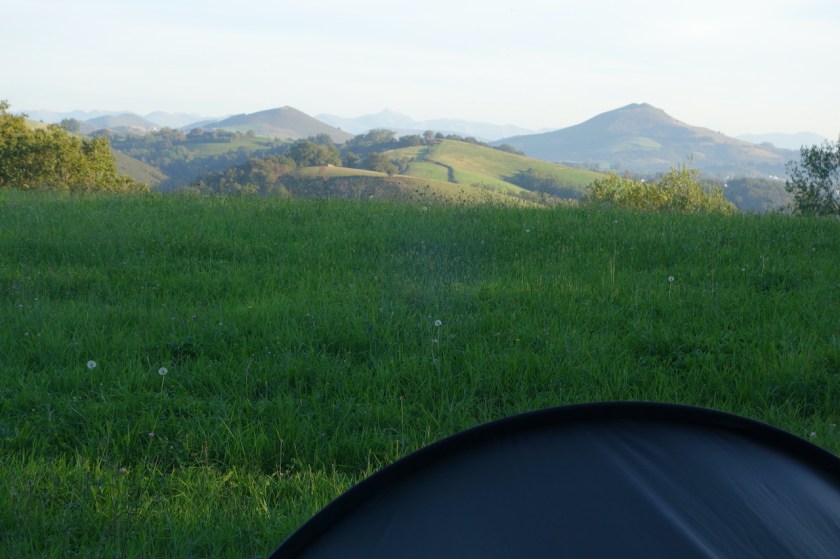


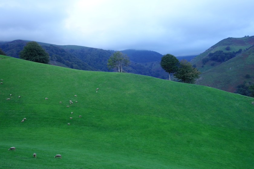
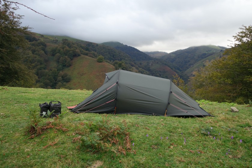
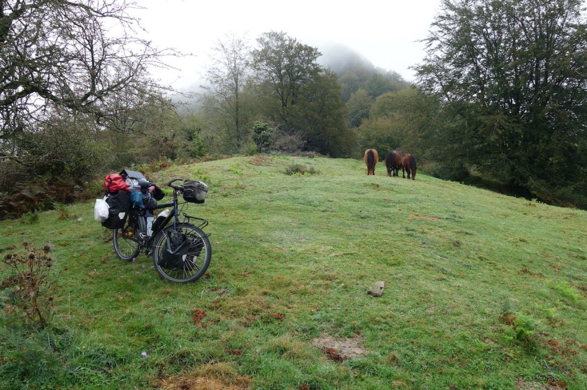
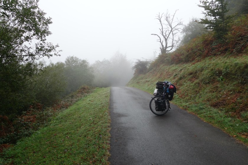
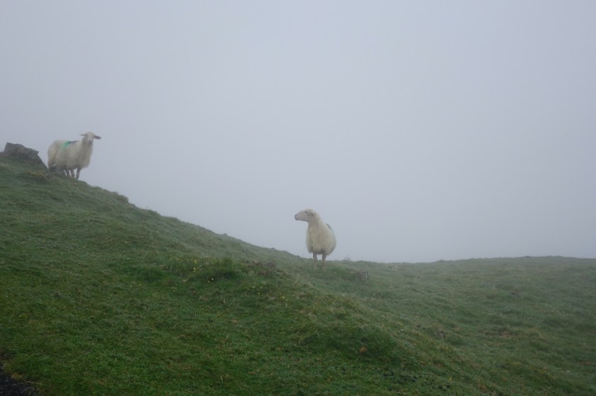
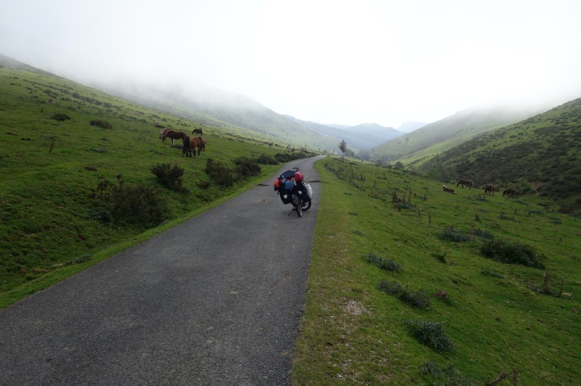
After Banka, the climbing goes very, very steep towards the French / Spanish border. Beyond Urepel, I have to push several times. Cycling is not an option anymore. I’m on a paved track, only one car passed me, I got attacked by two dogs, but otherwise it was magnificent. Steep hills with sheep, free roaming horses, mist, a mountain top that shows itself for a few seconds before hiding in the clouds again. I slept one last night on French territory a kilometer before the border.
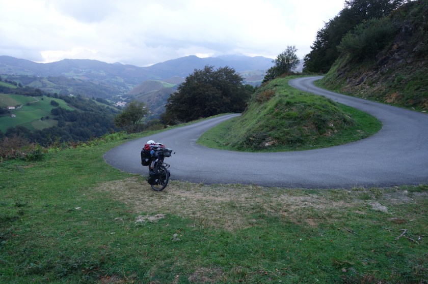

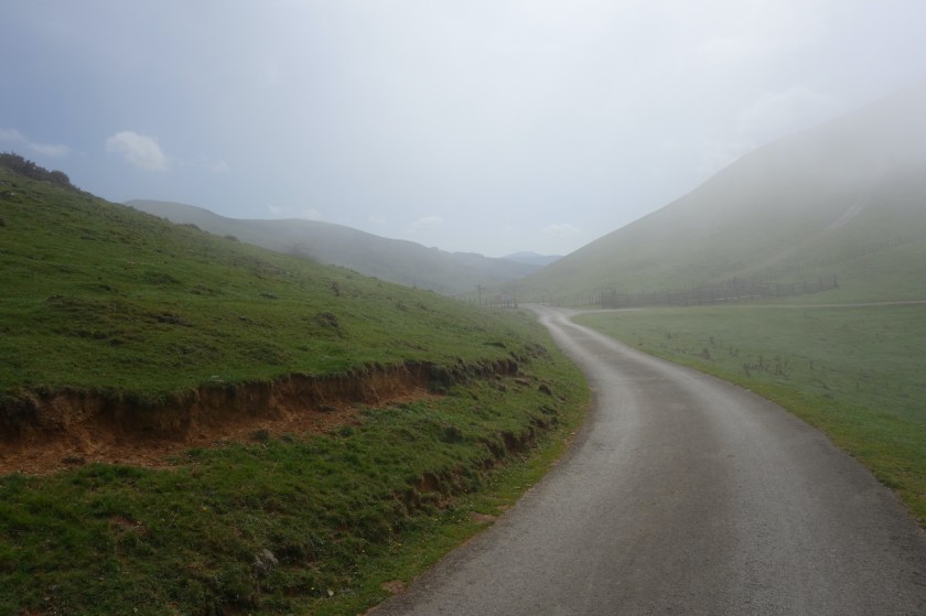
Next morning I worked my way up, through wisps of fog to the top. Do I see some spots of blue in the sky over there ? Why, yes. I linger a bit at the top, marveling the landscape, the solitude, the mixture of mist and sun rays trying to clear through. Total silence.
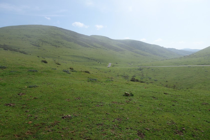
Spain doesn’t disappoint. Under blue skies I descend via the narrow asphalt track into the ‘Barranco Sorogain. Lots of free roaming cows and horses.


Down, at the junction with the N-135 road, I join the ‘Camino Frances’, the most popular Camino de Santiago Route, but only for a very short while. This time of year, no pilgrims. Bizkarreta-Gerendiain is the first village on Spanish territory. A very basic shop here in case you need to resupply. Not open too often, I think. I now follow the N-135 for a few kilometer. Traffic is light.
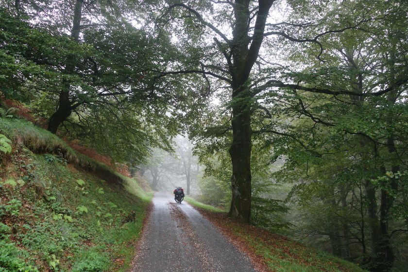
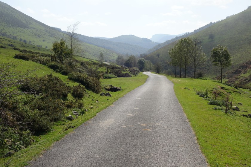
Just before Erro, I take a left turn onto the Na-2330 road, which follows the River Erro.
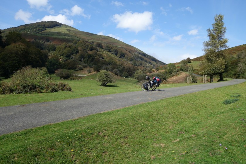
A fantastic road that leads me to Urroz-Villa. I climb into town to refill on water, then follow a dirt track via the Mendinueta Ruins to the next village, Reta. Lots of agriculture here. The farmers are out. It’s hard to find a spot to camp, but in the end, you always do.
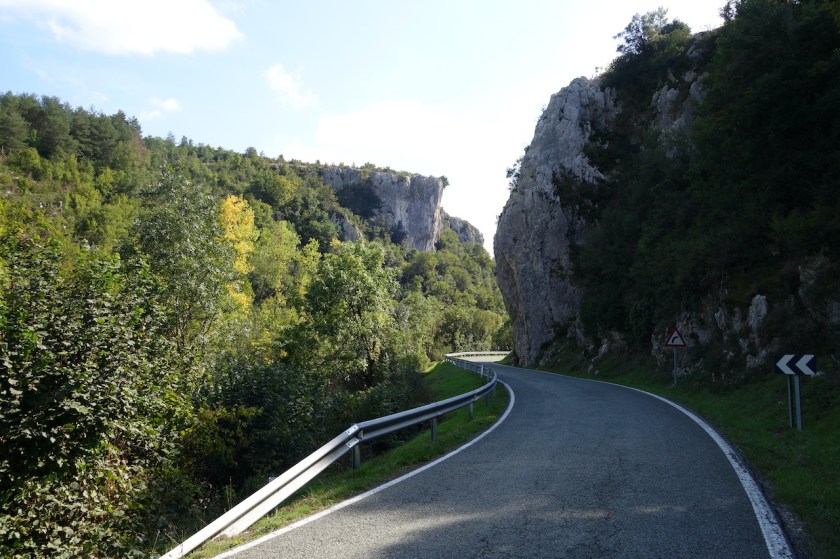
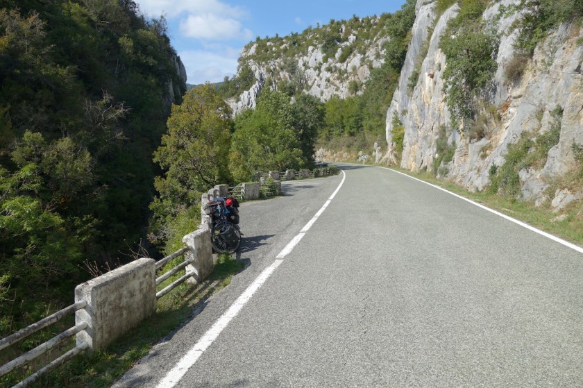


Lumbier is a small town where I take lunch at a bar on the central square. A few French cyclists arrive. Without me knowing in advance, I planned my route via ‘Foz de Lumbier’ (Lumbier Canyon) just south of town. After lunch and grocery shopping, I head down with one of the French cyclists. He is actually heading west to Santiago, but will just go up and down the canyon to have a look. It’s a nice thing if you are here, but not necessary make a detour of hundreds of kilometer for it.


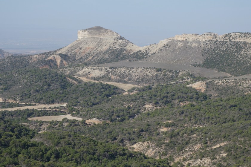
The canyon is carved out of the mountains by the Rio Irati. Just south of the canyon is the confluence with the Rio Aragón, which gives its name to one of the seventeen Spanish Autonomous Regions.
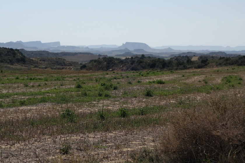
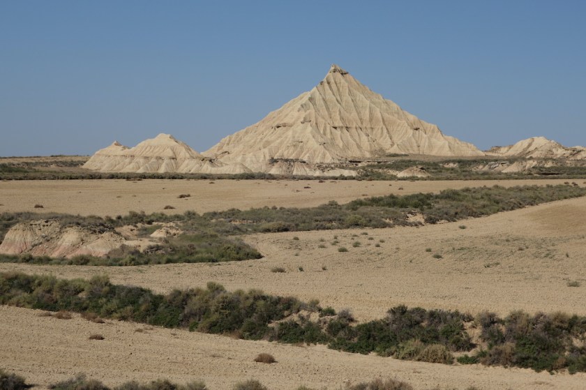
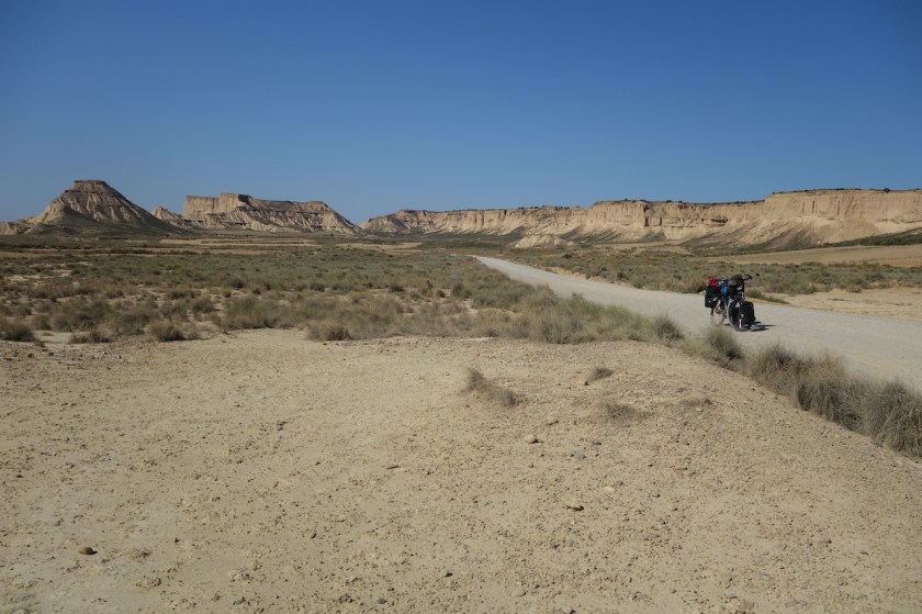
I keep following the river via a dirt track all the way down to Carcastillo. With the exception of two days, it has been exactly seven years since I arrived in this same place. That is no coincidence, since south of this little town, you ‘ll find the ‘Bardenas Reales’, a desert like area. I have to wait a bit, because the Spanish army is still doing some exercises, but in the afternoon, I can go through.
Make sure you have plenty of water, because it’s hot and dry, and you won’t find a drop here. At first, I retrace the exact same route as seven years ago, as it brings you next to the most impressive hills, but after a while I take a more left turn. The track goes up, steep and steeper. I have to dismount and push the bike. A tough job in this heath and with all the water and food on board. Just outside the borders of the Natural Park (and also leaving Navarra Region and entering Aragón), I find a good place to camp. It’s been a hard, but satisfying day.


Next morning, I make a little side trip and ride up the hill towards Santuario de Sancho Abarca before riding into the small town of Tauste, Aragón region.
