Route: Marree – Oodnadatta – Marla – Alice Springs
Day 103: 21 May 2019
From Marree to about 7 km before junction with Borefield Road
64,07 km (Total so far: 4534,96 km) – Altitude climbed: 225 m
Weather: Sunny, light and moderate head and side wind
At nine o’clock, I went to the police station again. This time, contact with Birdsville was made.
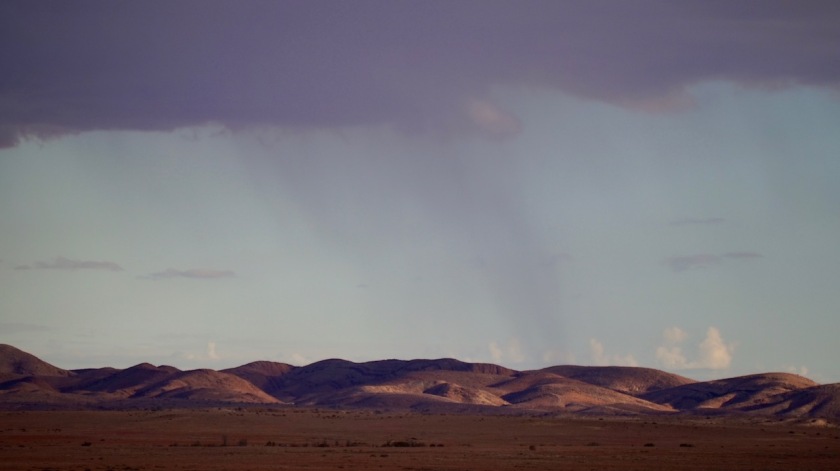
They seemed to be very happy with all the water on the other side of the line, while the local police here was complaining they didn’t get any here (although I did make it rain for a while yesterday – another ‘2 year drought broken’ after I appeared).
So, it’s final now, Birdsville cannot be reached by the Birdsville track, also not by pushbike.
There’s a stretch of 4 kilometer still completely under water.
It won’t open in the next three weeks, according to the Birdsville officials.
They only way open would be to ride 80 km back to Lyndhurst and take the Strzelecki Track to Innamincka and then the Arrabury road. From there I could ride into Birdsville, but not north from there, as those roads are closed due to floodings as well.
I go to the Oasis Pub, order a coke and stare at my maps.
What to do ?
The Oodnadatta Track, with all its grey nomads riding around with their caravans to see a wet lake ?
The Strzelecki?
Definitely the quieter option.
It would be hard. It is a long, long way from Lyndhurst to Innamincka (475 km) without any chance to buy provisions or get water.
And from Innamincka to Windorah, it’s another 450 km with nothing.
From Windorah I would have to go closer to the coast, towards Longreach, …. but that’s country where I don’t want to be (more densely populated).
I decide on the Oodnadatta Track.
The positive thing of starting so late, is that most grey nomads have disappeared already, and I have a reasonably quiet day.




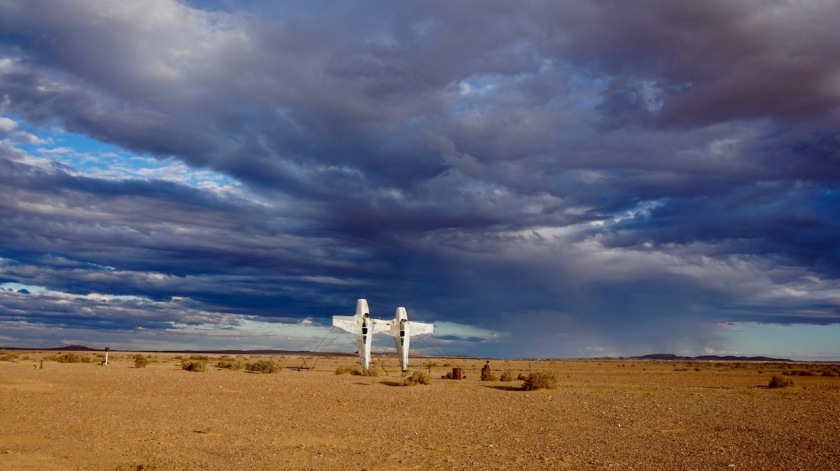
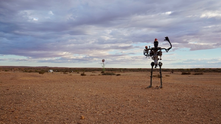


Day 104: 22 May 2019
From 7 km before junction with Borefield Road to near Kewson Hill
77,38 km (Total so far: 4612,34 km) – Altitude climbed: 177 m
Weather: Sunny, light and moderate head wind
Got up early again.
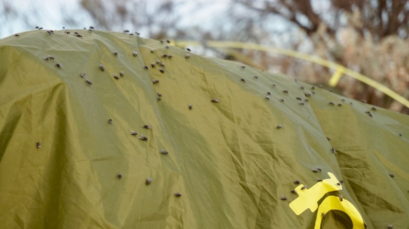
I hoped to beat the terrible bush flies which swarmed me yesterday all day. At least 500 of them.
It is terrible.
Unlivable !
And they stayed up till after sunset. But then they were joined by the mosquito’s and the moths. Also in swarms.
When I went out for a pee at 2:30 am, there were still a few bush flies up.
And before sunrise, they were all waiting already to greet and attack me.
More traffic on the Oodnadatta Track as yesterday.
A few very friendly people.
First, a Jeep with two girls stopped and offered me an ice cold bottle of water.
Further on, a father and his daughter stopped for a chat. They filled up all my bottles, cause they were gonna get to Leigh Creek for lunch and could fill up again over there (damn, lunch is in a few hours, and Leigh Creek is a four day ride for me haha). The daughter also gave me an apple and a croissant 🙂
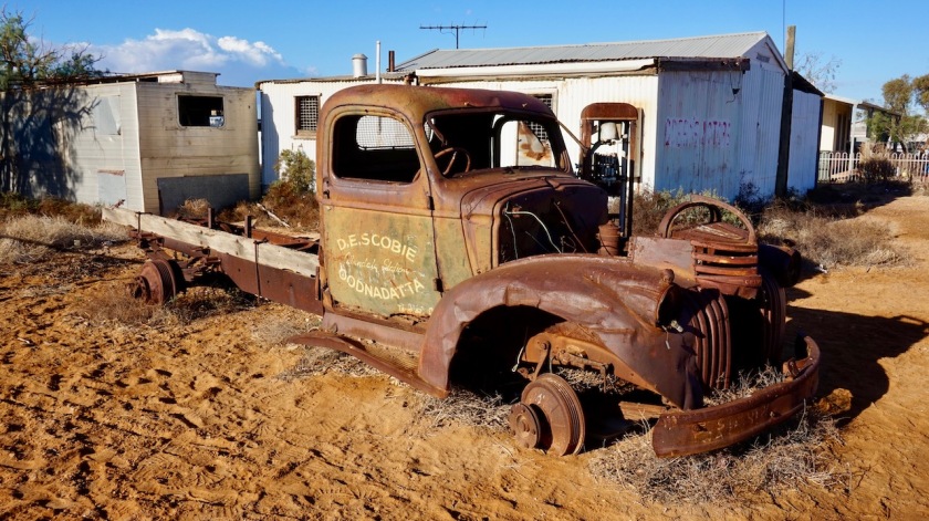
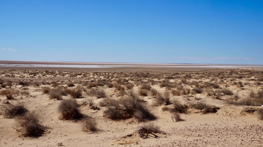
The view point over Lake Eyre South is not so special. It’s pretty far from the (dry lake).

The quality of the track is very bad. When I searched accounts of other cyclists who rode here, they all seem to write they were lucky, because ‘the grader must have passed only a few days ago’.
Well, I think the grader has a sabbatical, because this road hasn’t seen any maintenance in a long time.
Heavy corrugations, with lines of deep gravel in between. At times almost unrideable.
Anyways, still good fun if you can neglect the bush flies.
Another car stopped. A young couple from Luxemburg, on a two year trip around the world, offered me some water as well.
All is good. I’ve got enough now and don’t have to go to Cowards Spring campsite, which would guarantee a sleepless night, like I had twice in Marree.
People chatting, slamming doors, shining their cars’ head lights in your tent until well after midnight. The first ones up again before 5 am (really !), stopping their car in front of your tent and running the engine stationary for 1,5 hour.
I hate campsites.
But here I am, at a fabulous wild camping spot.
Pitched the inner tent, dived in, killed 12 flies that joined me in that 2 second action, blew up the mattress and the pillow.
Brilliant. I can lay here forever staring at the sky through the mesh inner tent.
As I ride north, it’s heating up.
Well over 30 degrees.
Good.

Day 105: 23 May 2019
From near Kewson Hill to just before William Creek (in the creek)
71,26 km (Total so far: 4683,60 km) – Altitude climbed: 199 m
Weather: Sunny, moderate side and head wind
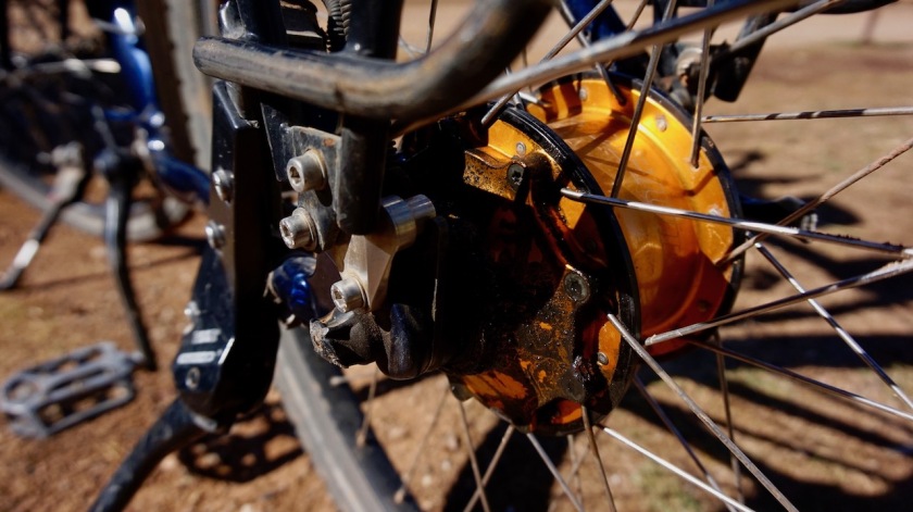
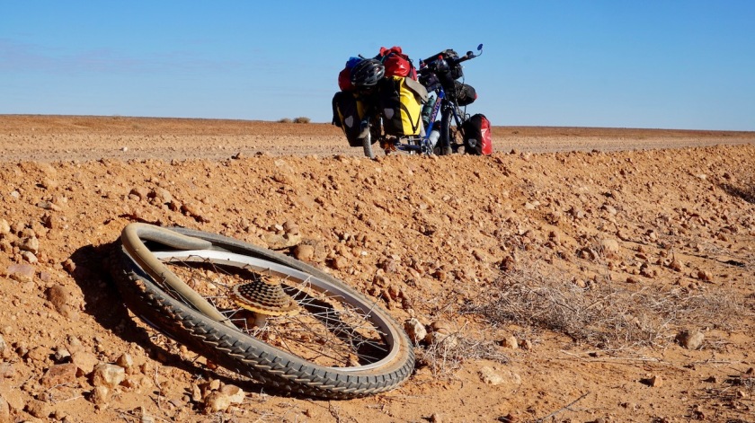
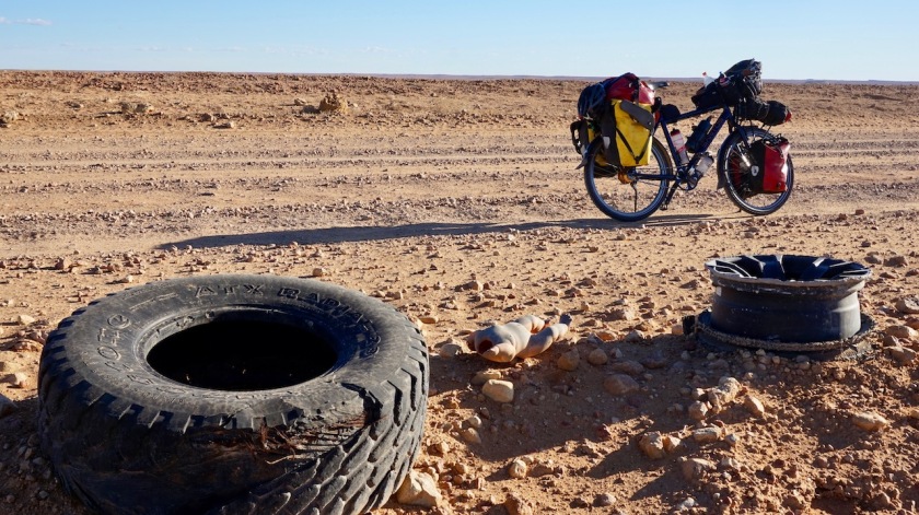
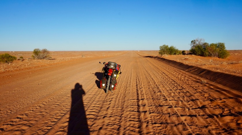
Kept bumping forward on the Oodnadatta. The track is again really bad in some places. Corrugations that make your eyeballs fall out, deep gravel, big stones. All of it. The material suffers. One of these bottle bags I have on the handle bar breaks under the weight of a liter of water in it, and all the bumping. It’s probably around 1200 bumps per kilometer on these corrugations, so that’s close to a 100.000 bumps and bangs your material and your back gets each day.
As long as I last longer as my material, it’s ok.


People were friendly again.
Ted and Maria offered me water yesterday already, but I didn’t need anymore then. Today, I gladly accept. We stand on the side of the road, chatting (and desperately trying to keep the bush flies off). They are on an eight month road trip with their two sons. No caravan. They do tent camping, or the occasional hotel. They too were swarmed by the bush flies at camp and attacked by the midges.
Yes apart from the flies, the moths, the midges have arrived as well now. And unlike the flies, they do bite.
I have been told now by two separate sources this is the worst bush fly season in 30 years !

Two motor bikers stopped for a chat. They went up and down from Marree to William Creek (200 km) and can’t get their head around it that somebody on a ‘pushbike’ would go the whole 620 kilometer on the Oodnadatta. When I explain them that, during hard times, one just has to think about that chair in the office, that computer, that airco, all the over time hours, and you’re good to go again no matter what, they laugh and say they want to have a job like me.
I assure them they really don’t haha.
From a couple of grey nomads, who kindly stop as well, I top off some more water. Now I have sufficient until tomorrow morning, so no need to roll into William Creek tonight. Can sleep happily on my lonesome in a nice place, instead of suffering with the crowds.
Because crowds is what’s out there. The Aussies arrive in their thousands to make the ‘scenic flight’ over Lake Eyre, which is supposedly filled for 60% now.
I camp just before William Creek (pop. abt. 10), in the creek bed itself.
The small airplanes keep taking off until well after sunset. It’s pitch dark, they won’t see a thing.
But I guess the pilots are happy to keep flying out.
The people are waiting in line, eager to get rid off their money just to be able to say they flew over it.
Golden times for the pilots.

Day 106: 24 May 2019
From William Creek to 55 km after William Creek
58,78 km (Total so far: 4742,38 km) – Altitude climbed: 252 m
Weather: Cloudy, moderate head wind
When I opened my eyes this morning, I witnessed a superb sunrise through the mesh of my inner tent. Jumped out of it for a few pictures and heated up water for a coffee.
How nice to be doing this, walking around without all the flies around and on you. Eating is in the tent, with all the zippers closed, because soon they ‘re all out again.

The flights to see the lake were taking off from sunrise again.
The landing strip of William Creek crosses the Oodnadatta Track. You have to keep your own eyes open. No one to stop you from cycling under the wheels of a plane. But you’d have to be real stupid to do that of course.
Went in the pub from the hotel for a coke I was dying for since a few days.
Don’t count on resupplies here. Apart from a Mars bar, you’re not gonna find anything.
Speaking to a couple from Alice Springs at the bar, the man told me he was a park ranger over there. Flies haven’t been as bad as now since 20 years, he says. And it gets worse as you’re heading north.
Worse ???
How is that possible ?
Haven’t I reached the limits yet ?
Imagine you stick your head in a wasp nest. That’s how I am riding around here, except these flies don’t sting of course.
They have the midges for that.

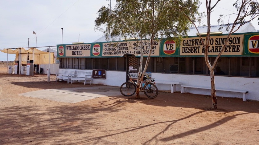
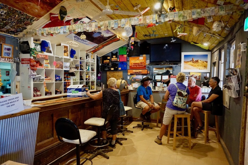
Anyways, with 15 liter of water I leave the tiny settlement.
A few kilometer out of town is the junction towards Coober Pedy and the Stuart Highway. Everybody seems to take that option, so the Oodnadatta is death quiet from here.
Riding from below sea level to a somewhat higher plateau through what is the driest region of the driest continent, with the ever lasting head wind is hard. How I wish for a few days of tail wind.
But it’s a super nice experience to be riding on your own here.
I start listening to the ‘Serial’ podcast season 2 which is sitting on my music player since ages. No better place then here, away from all distractions to follow the story. It’s about an American soldier who walked of his post in Afghanistan, got captured by the Taliban and was released after five years after Obama made a deal, …
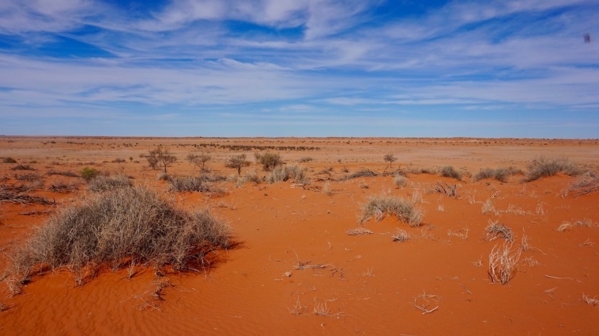
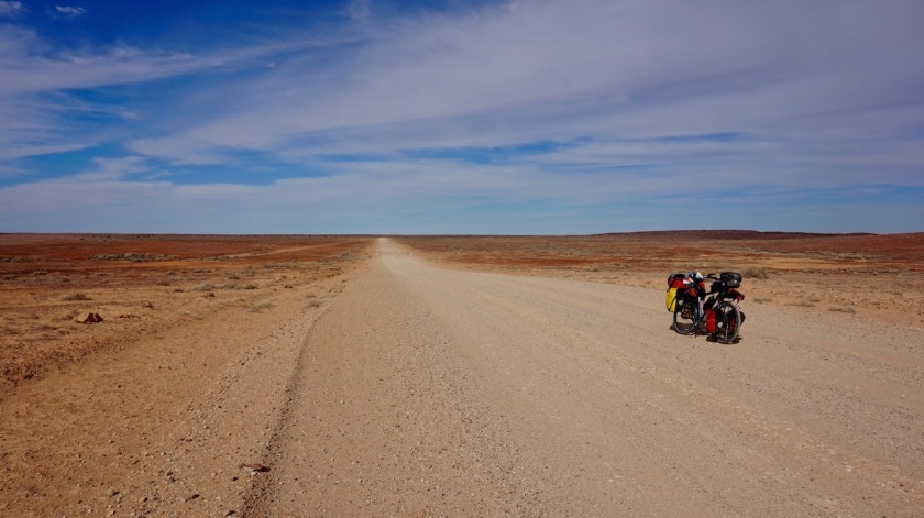
The routine now is to find a camping spot about half an hour before sunset (17:30). You can’t take your head net of or enter your tent as long as the flies are out.
The nights here are complete dead silent. Pitch dark, big sky full of stars and the Milky Way.
It is brilliant.

Day 107: 25 May 2019
From 55 km after William Creek to Algebuckina ((Neales River)
94,25 km (Total so far: 4836,63 km) – Altitude climbed: 285 m
Weather: Sunny, moderate tail wind
So, apparently I just have to ask for it ?
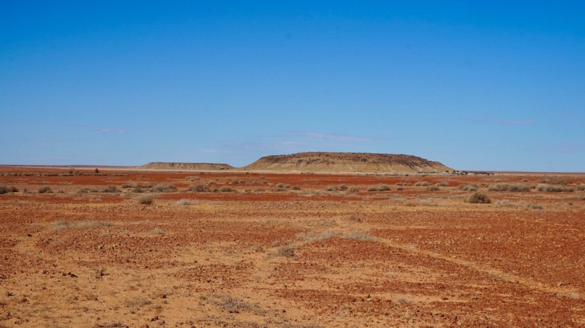
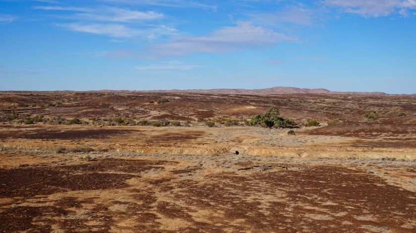
About the best day on the Oodnadatta so far with the hills of the Davenport Range and the Denison Range to my right.
I had tail wind (!) and the scenery between Warrina and Peake Creek was marvelous, very colorful. Also the quality of the track, at times really bad, became much better after Warrina. That combined with the tail wind means I was flying over the track at times at 30 km/hr.


I could have cycled much farther today, were it not for all the encounters. Traffic is sparse, but it seems I know everybody out here by now.
Only 4,5 km into my ride today, an old, white Toyota van pulls over. Out comes the man I talked to outside the William Creek pub. His self made old electrical mtb on the rear rack of the van. But the battery is broken, and so are the rear lights of his bicycle rack, and the wires going to that rack and ….
He is divorced since a while, doesn’t see his family anymore, retired and is happily traveling around the country since.
My water bottles are topped up.
After a chat of more than half an hour, we resume our trip.
Not much later, the guys in the white VW stop for a chat.
Then, a couple stops. They tell me a French couple on bicycles is behind me. They stopped to offer them water as well, somewhere between Farina and Marree. Apparently they each had less than a liter but still refused, claiming there would be enough opportunities. They are riding very narrow tires. ‘That’s gonna be hard on this track’, I tell them.
A bit later a 4WD stops. The man behind the wheels jumps out declaring, I have to have a word with a fellow cyclist. I lower my bandana and take off my sunglasses.
‘Koen !’, he says.
It was Stan and his wife with whom I stayed in Kettering, Tasmania.
What are the chances !


Further on, another guy with a caravan stops.
‘I’ve seen you riding yesterday. You’ve come a good way already. Where are you from ?’.
‘Belgium’, I reply.
He tells me how hot it gets here in summer and soon he goes on in a frenzy, ‘these Germans they come out here in the middle of summer, then take take one of these side tracks and try to walk out. Of course they fail and then they die’.
When we talking about the remainder of my trip and the regions further north and me asking about the crocodile situation, he tells me not to worry, ‘it’s those Germans when they’re out there, they get caught and …..’.
‘What’s his problem ?’, I’m thinking. I find my German neighbors among the friendliest and most helpful people, it’s a beautiful country and they make damn good quality stuff.
The last 2,5 hours of the day I see nobody anymore and make such good progression I end up at the Algebuckina bridge by 4 pm.
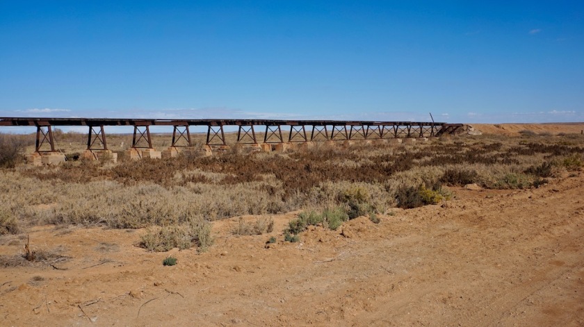
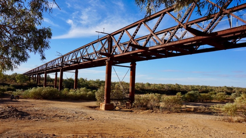
This railway bridge was built between 1878 and 1891 and made up of nineteen 30,9 meter spans. With a length of about 600 meter, it is the largest single bridge in South-Australia.
I could ‘ve taken advantage of the tail wind and continue for an hour, but the camping possibilities next to the Neales River are just too good to foresake. Apart from a few leftover puddles, the river is dry.

Day 108: 26 May 2019
From Algebuckina ((Neales River) to Oodnadatta
63,79 km (Total so far: 4900,42 km) – Altitude climbed: 327 m
Weather: Sunny, moderate side wind
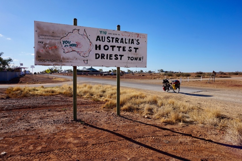
Another nice ride. Nice hills both sides of the track. Very colorful desert scenery. I arrived in Oodnadatta (pop. 180) and ate an Oodnadatta Burger in its famous Pink Roadhouse. There’s paid camping at a dusty piece of land behind the roadhouse, or free camping behind the hotel or just opposite the road. I cycled a kilometer out of town for a quieter night. Heard the dogs barking in the distance




Day 109: 27 May 2019
From Oodnadatta to Wooldridge Creek
68,72 km (Total so far: 4969,14 km) – Altitude climbed: 137 m
Weather: Sunny, light side wind
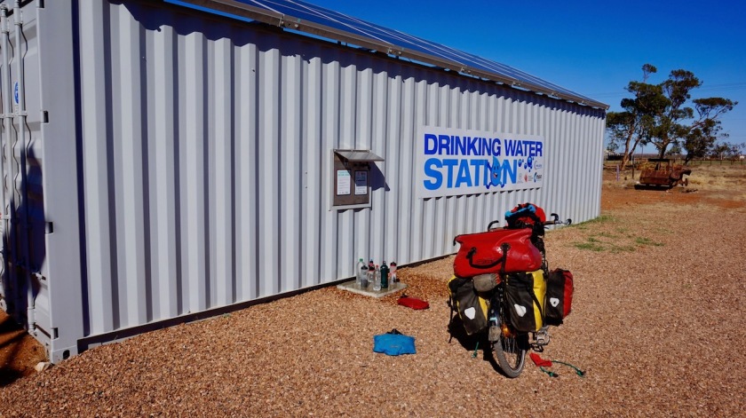
I rode back into ‘town’ for breakfast and to use the general stores’ wifi. Yesterday was election day in Belgium and I wanted to check whether the good guys had won, and also check on e-mails quickly. Did some laundry at the water tap at the roadhouse, some more grocery shopping, entertained other travellers and by 11 am I was good to go.
At the junction with the Finke Road I stopped, still in doubt which option to take. The Finke Road means I could stay a bit longer on the dirt tracks, but I saw most of the 4WD’s and ‘off-road caravan’ traffic was going that way, to the Dalhousie Springs and Mount Dare. Also, this desert race that’s coming up attracts some traffic. So, I just continue on the Oodnadatta Track towards Marla.
Good decision, only two more cars for the rest of the day (one fool coming from the other side at 140 km/hr).
I camped in the Wooldridge Creek, which is a few kilometer wide, has some bushes and low trees. Very scenic as a camping spot.

Day 110: 28 May 2019
From Wooldridge Creek to abt. 64 km before Marla
82,37 km (Total so far: 5051,51 km) – Altitude climbed: 282 m
Weather: Sunny, moderate side and head wind
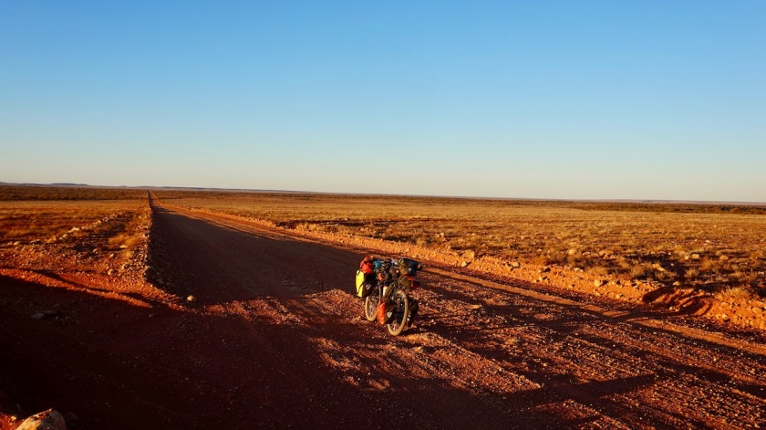
Day 110 was a hard one.
The track was heavily corrugated all the time. Closer to the side the corrugations were a bit less, but there was a layer of sand a few centimeter deep, which made progress very hard. A reasonably strong wind coming from the wrong side, the flies that were out as never before, making eating even impossible…. I suffered and hated the Oodnadatta Track today.
The region north of the track is the Pedirka Desert, the one to the south the Painted Desert, so I get two deserts for the price of one.

Late afternoon, as I start to look for a place to pitch the tent, I am in a stony region, no trees giving shelter for possible winds overnight. I continue and continue. To my frustration, the lamentable track starts to climb. Only between 1 and 3%, but given the conditions I had, and the hunger creeping in, I was exhausted by the time I reached the ‘summit’, where I found, behind a ‘tree’ a small piece of land free of stones.
A very picturesque setting, very ‘Aussie’ for a very death cyclist.
I rounded the 5.000 km unnoticed today.

Day 111: 29 May 2019
From abt. 65 km before Marla to 4 km before Marla
64,28 km (Total so far: 5115,79 km) – Altitude climbed: 202 m
Weather: Sunny, strong head wind
More of the same as yesterday, but throw in a strong head wind now.
About 20 kilometer before Marla, the track starts to improve somewhat.
A few cars pass me, all racing by at high speed, leaving me in a cloud of dust.
Then a car stops, offers me some water. And a beer !
They tell me the two French cyclists have been rescued not far out of Marree and shuttled out by car towards Coober Pedy.

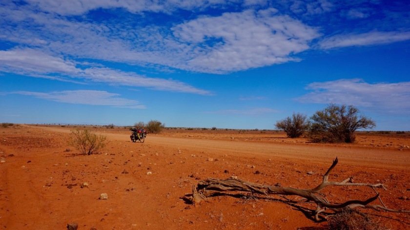


While I’m searching for a suitable place to camp (hard, because it seems the whole region had flooded recently), another car stops.
This time two beers are offered, no water anymore.
Good I’m near the end of the track, because who knows where this would be going haha.
So I’m sitting in my tent. Two ice cold cans of ‘XXX Gold’ beers (Full Flavoured Australian Lager, 99% sugar free – no preservatives) are empty. Very light beer, 3,5% only.
The can of ‘TED (The Clean Crisp Taste – 4,4%, also 99% sugar free and 30% less carbs than regular beer !) is for later on.
I wonder who gives about all those details when buying beer. You ‘d think you just want a good beer, no ?
It remains very windy all night.

Day 112: 30 May 2019
From 4 km before Marla to De Rose Hill Airport
116,89 km (Total so far: 5232,68 km) – Altitude climbed: 209 m
Weather: Sunny, moderate and strong tail and side wind
Arrived at the Stuart Highway, the (only) main road crossing the continent away from the coast in a north / south direction. East / west, no main (paved) road is crossing the continent away from the coast.
I wanted to avoid this road at all costs, riding up via Birdsville, Boulia and Mount Isa, the much lesser travelled option, but alas, circumstances decided otherwise.
The roadhouse at marla has a decent selection to stock up. In a side street, there’s again a drinkwater station container from the government where one can refill, 4 AUD for 20 ltr.


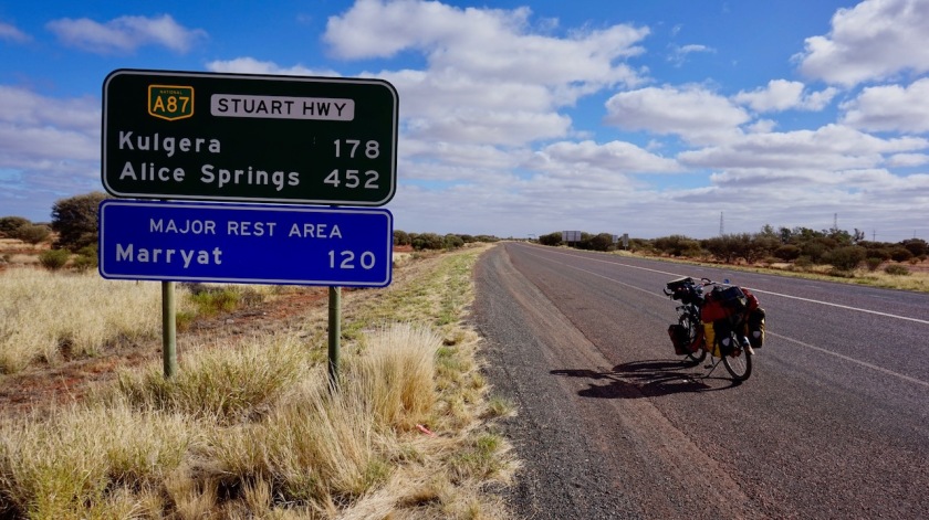
I’ve got a good tail wind for a while, but as the wind starts to pick up during the afternoon, it also starts to turn a bit to the east, while I’m heading north, direction Alice Springs.
For 20 kilometer, there’s a good shoulder, otherwise, there’s none. Unless you’d call that 25 cm of crumbled, worn bit off asphalt beside the white line a shoulder.
Very good progress today, my shoulders and backbone are happy to see some asphalt again, my eyes, my ears and my brain aren’t, because the better travelled road means being (much) more cautious to stay alive, much more garbage along the road, the re-appearance of roadkill (kangaroos, cows, a horse (!), birds,…) and traffic noise throughout the night.
Day 113: 31 May 2019
From De Rose Hill Airport to near Kulgera
76,30 km (Total so far: 5308,98 km) – Altitude climbed: 185 m
Weather: Sunny, strong side and head wind
I entered the Northern Territories today, Australia’s third largest state (well, actually not a state but a territory).
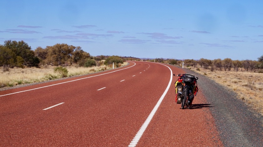
Cycling along this asphalt road, I feel there’s not much to mention.
Very slowly the road climbs higher and higher, so I’m now above 500 meter.
Had to wear a jacket all day due to the cold wind. Daytime temperatures are about 18 degrees, night time around zero. It was +4°C in the tent, but the outer tent was frozen, some vegetation a bit white.
Kulgera Roadhouse has a pub, but the shop has almost nothing apart from drinks, chocolate and chips. Water must be bought in bottles. The campground looks horrible, in between the highway and the gas station.
I rode in the Finke Road for two kilometer where there’s ample space for a nice, calm night in the wild.
Oh, and the plus of the colder night temperatures, less flies, and those who survive tend to come out much later in the morning.


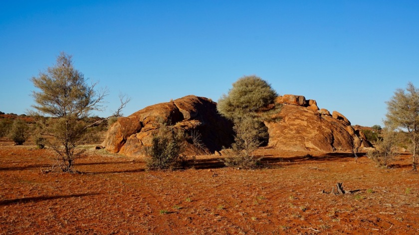
Day 114: 1 June 2019
From near Kulgera to 4 km passed Erldunda
85,00 km (Total so far: 5393,98 km) – Altitude climbed: 111 m
Weather: Sunny, strong side and tail wind
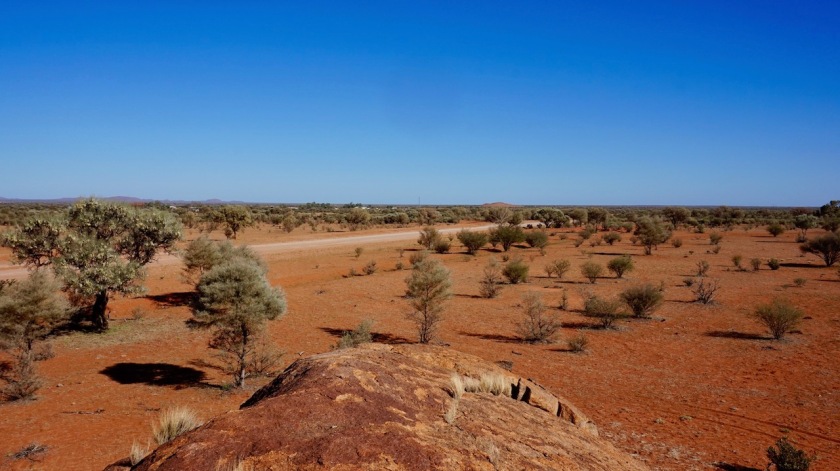
Day 115: 2 June 2019
From 4 km passed Erldunda to Chandler Range
81,57 km (Total so far: 5475,55 km) – Altitude climbed: 203 ù
Weather: Sunny, strong tail and side wind


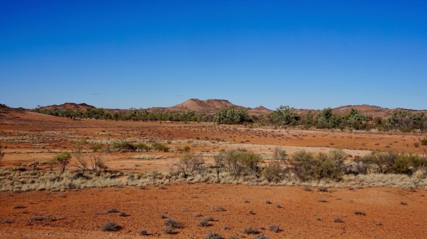

Day 116: 3 June 2019
From Chandler Range to 43 km before Alice Springs
77,00 km (Total so far: 5552,55 km) – Altitude climbed: 324 m
Weather: Sunny, strong side wind


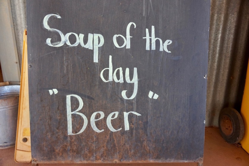
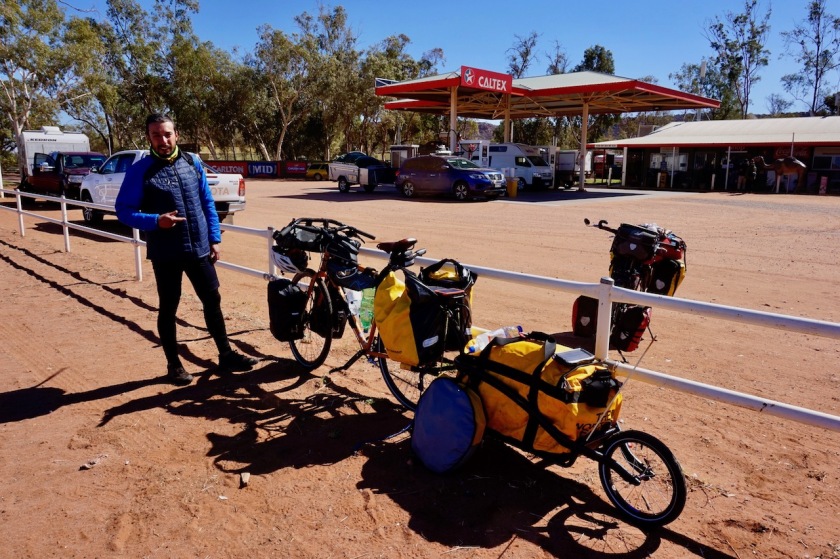
Day 117: 4 June 2019
From 43 km before Alice Springs to Alice Springs
53,87 km (Total so far: 5606,42 km) – Altitude climbed: 156 m
Weather: Sunny, moderate side and head wind
I haven’t written anything anymore the last days because frankly speaking, I hated it.
People who say the Stuart Highway has a shoulder and who claim ‘you can camp anywhere’…. don’t believe them.
They lie.
Unless you want to camp 15 meter from the road of course.
All land is fenced off. Sometimes at 15 meter from the road, sometimes 40 meter, but never further so you have to search for unlocked fences or the occasional side track. Traffic is horrible and the behaviour of the drivers on this road is third world standard.
Occasionally you may have a few minutes between cars, but then the whole lot comes again, one after the other. As long as there’s no traffic from the other side, you could be fine. If there is traffic from the other side…. your life is worth nothing.

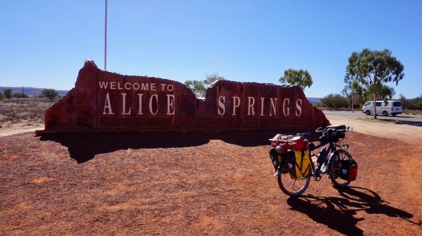
My first 5.000 km in Australia were very good, the last 500 were big shit.
And still…. this is where I meet more cyclists as during the first 5.000 km.
Incomprehensible.
Listen to me, avoid this road.
Day 118-121: 5 – 8 June
Alice Springs
I stay a couple of days in Alice Springs, kindly hosted by Sophie. Got a lot of things to do like shopping for provisions, shellite, bike maintenance, haircut,….
Some figures about the Australia trip so far:
Total distance cycled so far: 5.606,42 km
Average km per cycling day: 54,43 km
Total altimeter: 45.683 meter
Shortest cycling day: 5,52 km (Gog Range)
Longest cycling day: 116,89 km (on the Stuart Highway)
Highest maximum speed: 69,75 km/hr (on Cradle Mountain Development Road)
Most altimeter in one day: 1167 m (towards Cradle Mountain)
Highest point: 959 m (on Cradle Mountain Development Road)
Longest day in the saddle: 7 hrs 3 minutes (‘Outback Highway’ between Lyndhurst and Marree)
Total time in the saddle: 412 hours 52 minutes
Nights slept inside: 18
Nights on board ship: 2
Nights slept outside: 101 (of which 94 wild camping & 7 on official campgrounds)
Flat tires: 12
Below, the map from my route on from Melbourne to Alice Springs, visiting the states of Victoria, New South Wales, South-Australia and Northern Territory.
The gpx track can be downloaded from Wikiloc

Hoi Koen,
Je bent weer een lekker eind verder sinds je laatste post. Keep up the good work ;). Jammer dat het laatste stuk naar Alice Springs je tegenviel. Je schrijft vermijd deze weg. Welke alternatieve route zou je dan nemen?
Zag in 1 van de foto’s, erg mooie trouwens, dat je een buff of iets dergelijks voor je gezicht hebt. Waarom heb je dat gedaan? tegen de vliegen? Yakkes wat zijn het er veel.
Ben benieuwd waar je nu naar onderweg bent. lees ik vast in de volgende update.
Veel plezier, mooie rustige wegen, veel leuke ontmoetingen en natuurlijke gave kampeerplekken gewenst op je volgende stuk.
Groetjes Inge
LikeLike
Hoi Inge,
Ideaal was geweest om vanuit Marree de Birdsville Track te nemen, tot in Birdsville. Daarna doorrijden tot in Boulia en van daar de Plenty Highway naar Alice Springs. Of andersom voor jou planning, dacht ik.
Andere mogelijkheid is om vanuit Alice Springs de onverharde weg via Finke richting Oodnadatta te nemen. Ik heb daar veel opzoekingswerk over gedaan, en de kwaliteit van dit traject blijkt serieus te schommelen, dus misschien goed navragen. Heel lange stukken met erg diep zand zijn mogelijk daar.
Buff is tegen de vliegen, en ook bescherming tegen de zon.
Groeten 🙂
LikeLike
Hoi Koen,
Dank voor de alternatieven – ga ik dankbaar gebruik van maken. Dacht dat ik zelf via Finke in gedachten had – komt me erg bekend voor – maar zal zeker voordat ik daar in de buurt ben navraag doen over de staat van het traject. Die mega lange stukken met diep zand vermijd ik liever als dat kan.
Mooi dat de buff 2 vliegen in 1 klap slaat. Doch had niet verwacht dat je in dit jaargetijde bescherming tegen de zon nodig zou hebben.
Groetjes en veel veilige, mooie kilometers,
Inge
LikeLiked by 1 person
Hi. Love reading about your experiences. We are from Adelaide and about to travel to the NT. Fortunately the bikes are on the back of the car. I’m keen to know whether you clean your chain?
LikeLike
Hi,
Yes, I clean my chain when it’s needed. Usually, that is maybe twice or three times a month. Just with a rag. Oil it again, ride a bit, than go over it again with the rag to remove the excessive oil which would otherwise pick up dirt only.
Enjoy the riding ! 🙂
LikeLike